Recent flow chart is loading
The latest stored reading is shown above. Check the official source below if you need the newest value now.
No access method is recommended today. Review the live conditions below before choosing another river or day.
Check first: Discharge is unavailable. Gauge height alone cannot support a confident fishing decision here.
Rating updatedRiver local time:
USGS returned gauge height, but no usable discharge. Gauge height alone has no reviewed fishing thresholds here; it cannot confirm fishable flow.
NWS air forecast near
The latest stored reading is shown above. Check the official source below if you need the newest value now.
Clear
The National Weather Service forecast is temporarily unavailable.
RiverReports gauge: East Fork Whitewater River at Brookville
From the latest stored river check. Open the official source for the newest reading.
Seasonal starting points, not a live hatch report. Match what you see on the water.
Each fly name opens its matching Fly Box guide.
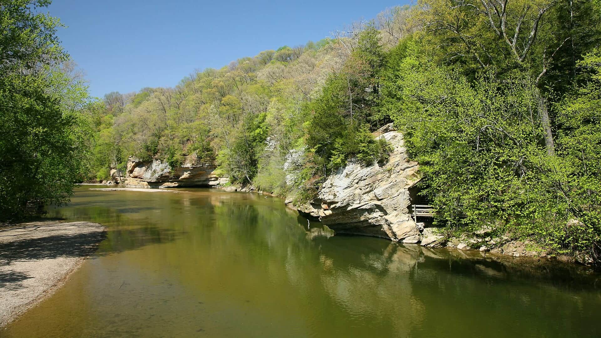
The East Fork Whitewater is best when the tailwater level is safe, water is cool, and Indiana rules support the plan. If the level is unstable or access is crowded, use a nearby warmwater alternative.
Best for nymphs, streamers, and careful bank or wade access.
Stay out of risky channels and fish from safe banks only.
Use small nymphs, midges, and lighter tippet for pressured trout.
Shift toward smallmouth or mixed species instead of forcing a trout plan.
No access method is recommended in today's conditions. Review the live river and weather checks before making another plan.
Not recommended today. Recheck the river, weather, and access before planning another trip.
Not recommended today. Recheck the river, weather, and access before planning another trip.
Not recommended today. Recheck the river, weather, and access before planning another trip.
Is East Fork Whitewater River worth the trip today? Check flow, weather, hatches, access, and rules for Indiana before you go.
The strongest fly-fishing angle is the cold-water tailwater below Brookville Dam. Use RiverReports and the USGS stage gauge, then check Indiana rules and access before treating it like a simple roadside trout stream.
USGS returned gauge height, but no usable discharge. Gauge height alone has no reviewed fishing thresholds here; it cannot confirm fishable flow.
Trout and salmonids need extra handling discipline in this temperature window; consider warmwater targets where that matches the river and rules.
USGS water temperature is about 68.5F. USGS marks the temperature data provisional and may revise it. Fish early and stop if handling stress is likely.
Fall: Cooler weather and streamer or nymph tactics can be useful.
No active NWS alert was returned for this forecast point.
Use RiverReports and USGS 03276000 as a stage trend. The live USGS signal is gage height, so pair it with visible conditions and access judgment instead of treating it as a full discharge readout.
Skip wading when stage is rising, banks are slick or crowded, dam-area safety is unclear, trout rules are unresolved, or warm downstream water makes smallmouth a more responsible target.
Start with the Brookville tailwater and official public access. If the trout plan is weak, shift to a downstream warmwater approach or compare Sugar Creek and the Cumberland River before forcing a marginal tailwater session.
If East Fork Whitewater levels, crowding, or access make the plan weak, compare Sugar Creek for Indiana smallmouth or the Cumberland River for a larger trout-tailwater trip.
Use these places as starting points. Open the access link below and check posted signs before you park or enter.
Indiana DNR's current fishing guide controls trout rules, license requirements, and statewide limits. Check the Brookville-area access source before fishing below the dam.
The main fly-fishing focus below Brookville Dam.
Use official recreation/access information for parking and open areas.
Useful for services, family trips, and reservoir context.
More mixed-species and access-specific than trout-only water.
Official agencies and primary river operators come first. Secondary tools are labeled so you know what carries the most weight.
Check what is allowed, where the rule applies, and whether the river is open.
Check the latest river reading and forecast before you leave.
Check public entry points, land rules, and seasonal access changes.
Check what is allowed, where the rule applies, and whether the river is open.
Open the current rules and check the river section, season, and special limits.
Check the latest river reading and forecast before you leave.
Open this page and check the latest safety advice before your trip.
Open this river reading to check the latest level, flow, and update time.
Open this river reading to check the latest level, flow, and update time.
Check public entry points, land rules, and seasonal access changes.
Open the land or access page, then check signs before you park or enter.
Open the land or access page, then check signs before you park or enter.
What was checked: This report is maintained from current regulation, access, flow, weather, and public planning sources so anglers can make better trip decisions than a raw gauge or generic overview would allow.
Live measurements and forecasts keep their provider timestamps. Rules, access, and trip guidance use the source-review date shown here. BlueStreamFly planning advice is editorial interpretation, not an agency notice.
First-hand experience: BlueStreamFly does not claim a first-hand visit or local field test for this report unless a real contributor is explicitly named and linked.
Official sources commonly use East Fork Whitewater River. The URL preserves the older separated spelling from inventory.
Use the Brookville RiverReports page and USGS 03276000 stage graph for tailwater level context.
The Brookville tailwater is the trout-focused fly plan, but downstream water becomes more mixed-species.
Check Indiana trout rules, water level, public access, and weather.