7-day U.S. Geological Survey chart
Recent flow
Discharge
5,840 cfs598 cfs
Oct 15Oct 22
Latest reading: 606 cfs. Stable over about 6 hours. Chart covers Oct 15 through Oct 22; readings are provisional and may be revised.
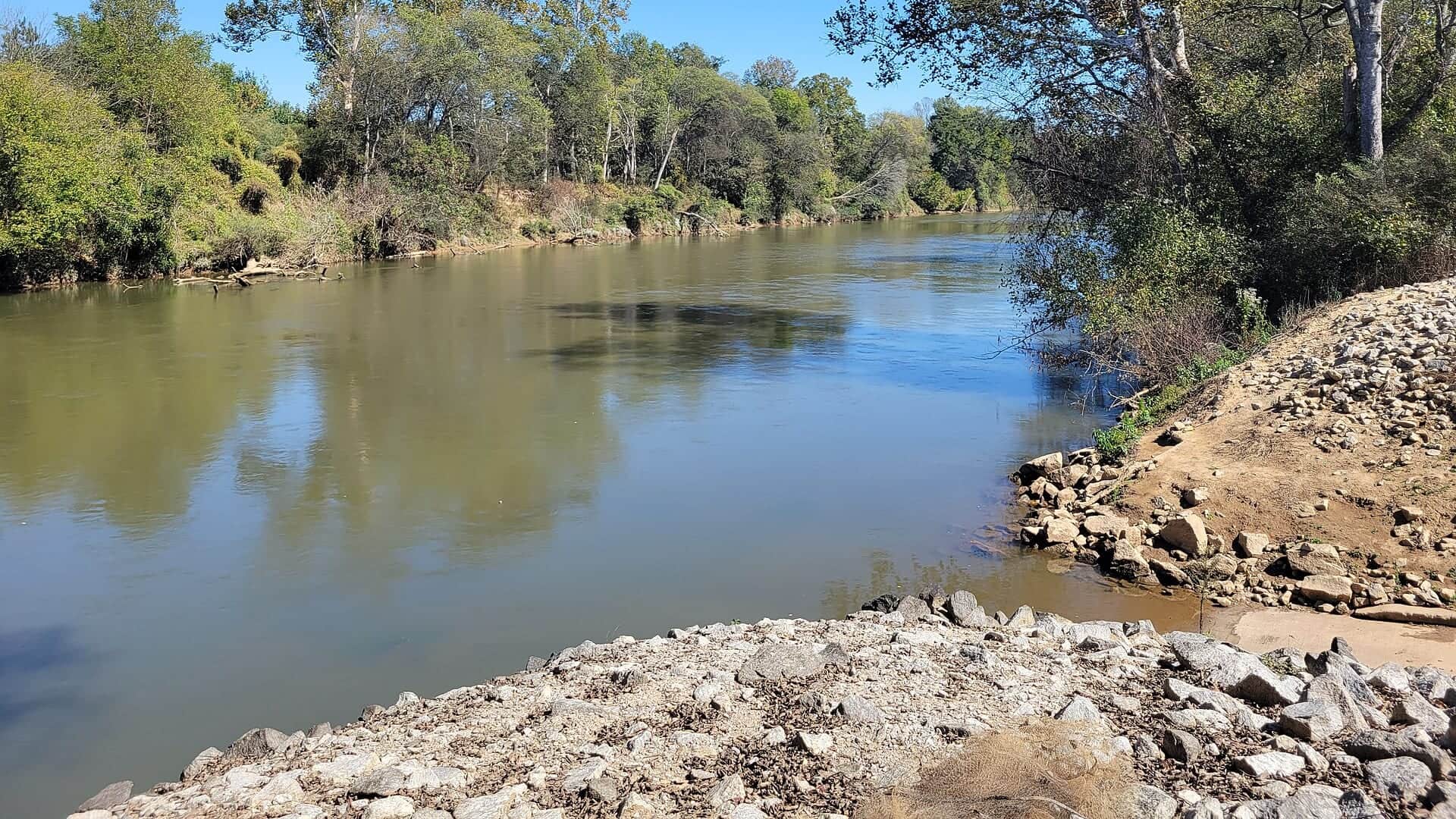
No single best way to fish. Bank fishing and Floating have the same top score. Use current access, footing, weather, and local rules to choose.
Rating updatedRiver local time:
USGS shows 606 cfs. The flow has been stable over about 6 hours. USGS marks this reading provisional and may revise it. USGS records for this date (1956-2026, 71 readings) show a median near 1,450 cfs and the lower quartile near 981 cfs; today's flow is below normal for the date. This is below normal, so edge depth, temperature, and pressure matter.
NWS air forecast near
Discharge
Latest reading: 606 cfs. Stable over about 6 hours. Chart covers Oct 15 through Oct 22; readings are provisional and may be revised.
Clear
The National Weather Service forecast is temporarily unavailable.
Current U.S. Geological Survey gauge: Chattahoochee River below Buford Dam
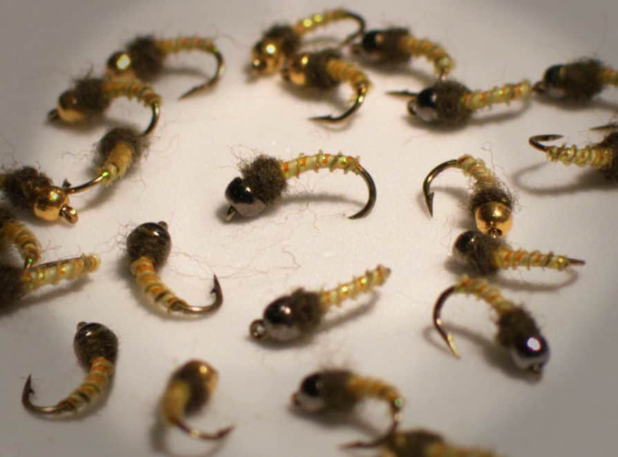
Seasonal starting points, not a live hatch report. Match what you see on the water.
Also try black beauty
Each fly name opens its matching Fly Box guide.
The Chattahoochee is best when releases are stable, clarity is good, and park access is open. If flows rise, water quality is poor, or rules are unclear, wait or choose a safer reach.
Best for careful wading, small nymphs, midges, and sight-fishing edges.
Fish from safe banks or boats only where legal and appropriate.
Leave the river immediately. Do not try to beat a release back to shore.
Check NPS conditions and avoid contact during poor water-quality periods.
Bank fishing and Floating have the same top score. Use current access, footing, weather, and local rules to choose.
This report does not recommend wading on this reach.
Bank and edge fishing remains a practical low-commitment option if access is legal and footing is safe.
A float is in play where this report supports boat access and wind, releases, and shuttle logistics are manageable.
Is Chattahoochee River worth the trip today? Check flow, weather, hatches, access, and rules for Georgia before you go.
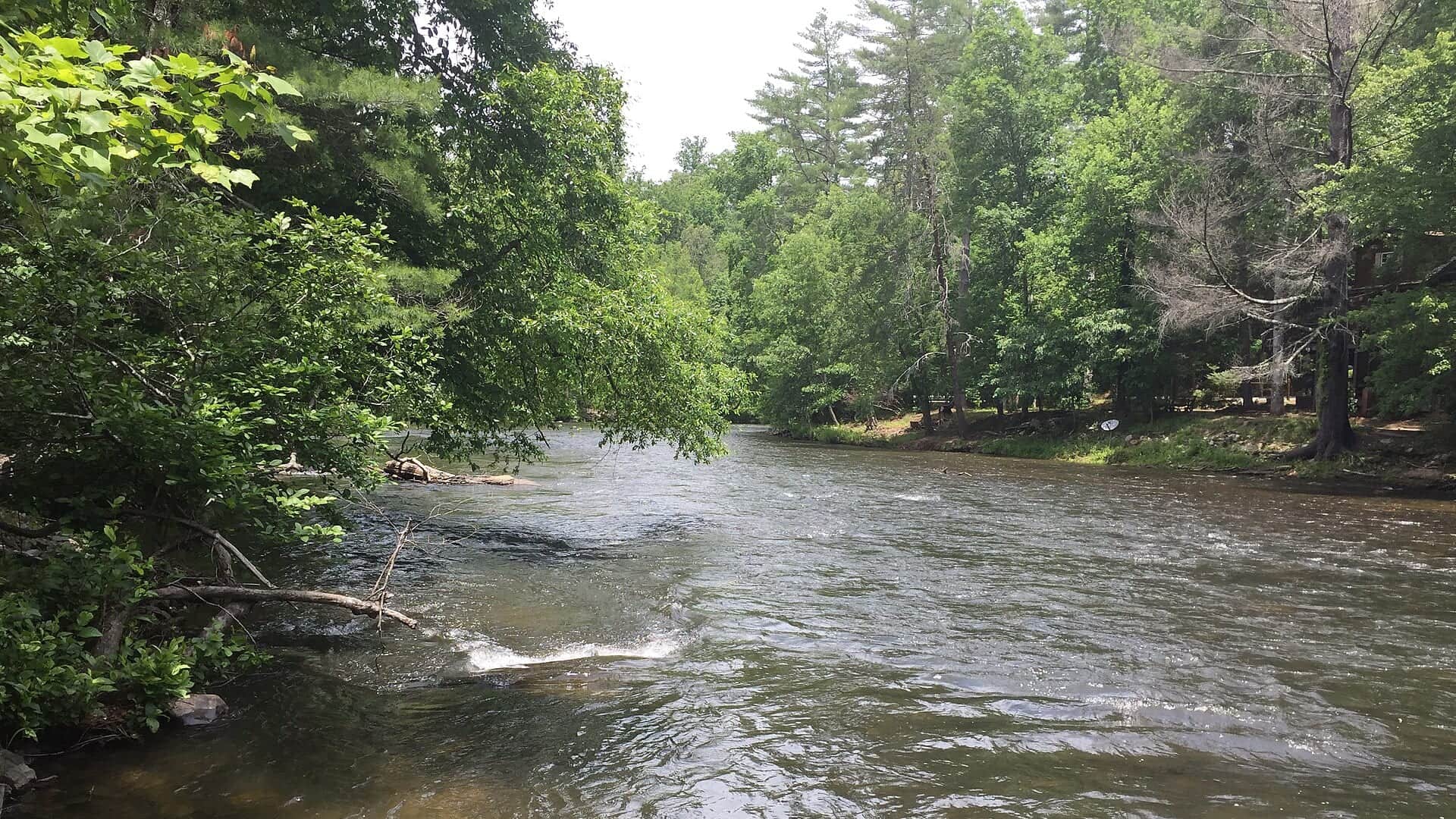
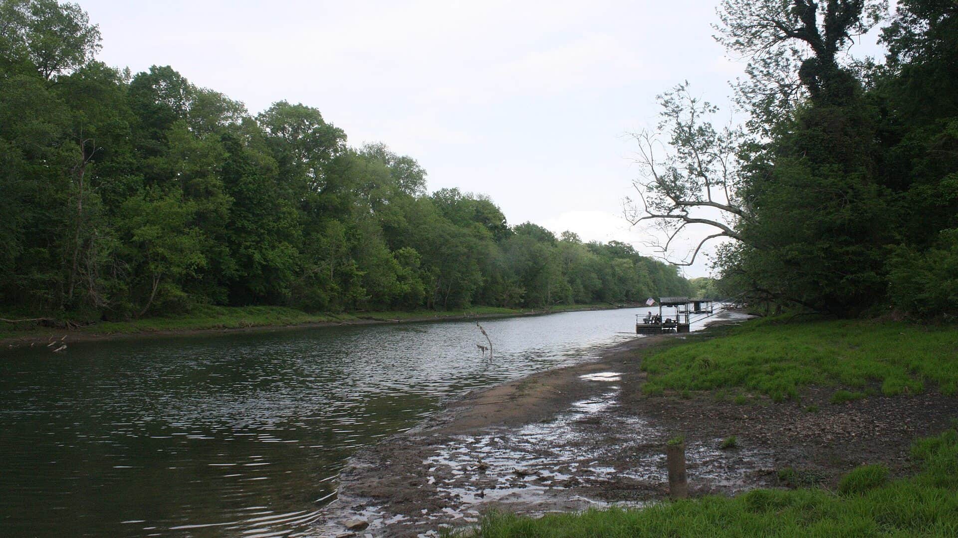
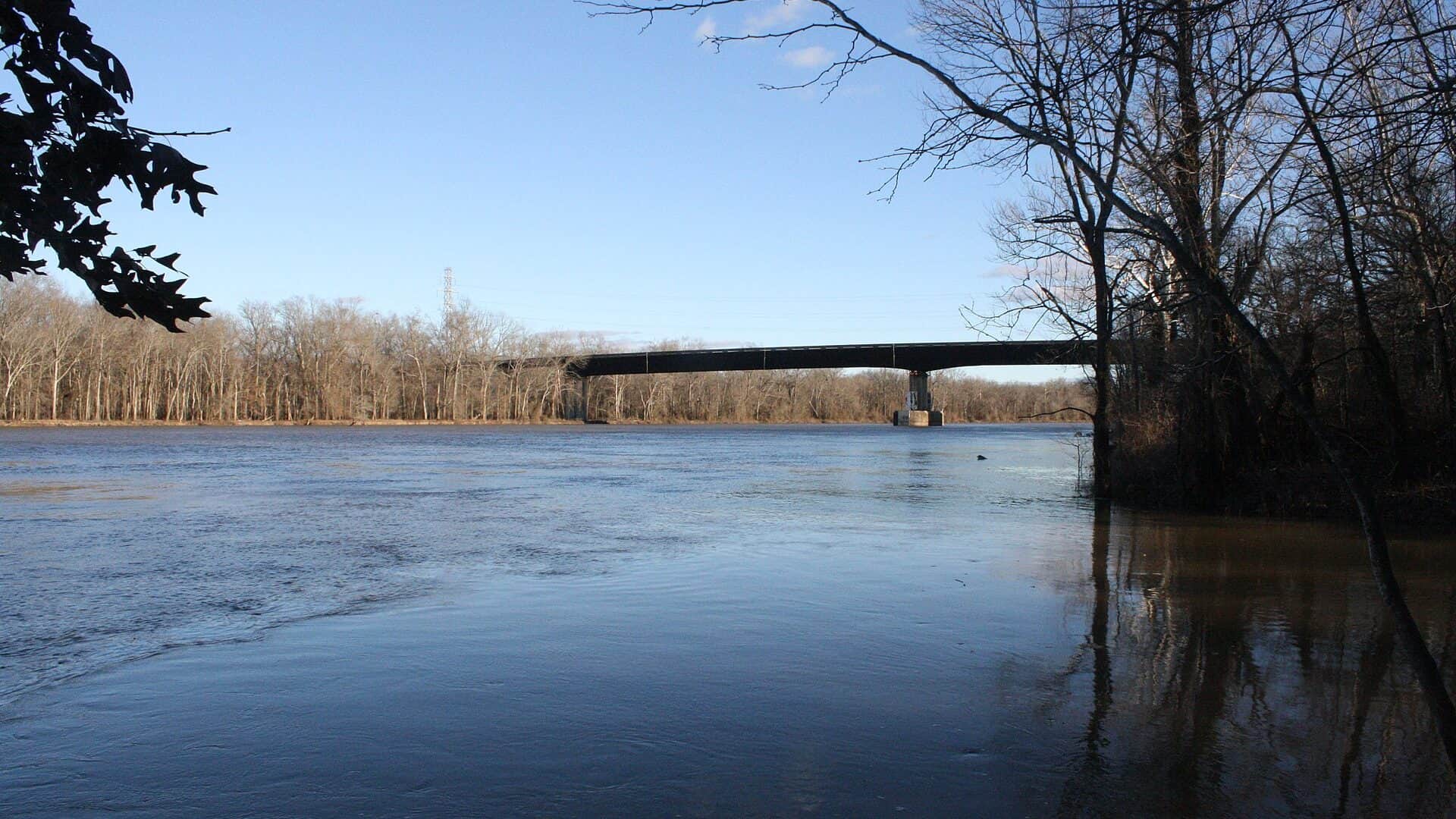
The Chattahoochee below Buford Dam is a cold urban tailwater with trout, shoals, park access, and fast-changing water levels. Check the Buford Dam gauge, NPS rules, and release conditions before stepping in.
USGS shows 606 cfs. The flow has been stable over about 6 hours. USGS marks this reading provisional and may revise it. USGS records for this date (1956-2026, 71 readings) show a median near 1,450 cfs and the lower quartile near 981 cfs; today's flow is below normal for the date. This is below normal, so edge depth, temperature, and pressure matter.
An active public alert is in effect near this forecast point, so the score is capped at caution until conditions are checked. NWS alert: Special Weather Statement issued October 22 at 1:28AM EDT by NWS Peachtree City GA.
Bank / edge: Bank and edge fishing remains a practical low-commitment option if access is legal and footing is safe.
Fall: Cooling weather, delayed-harvest timing, and streamers can make strong windows.
USGS water temperature is about 50.7F, and the rolling 24-hour high did not trigger a heat caution. USGS marks the temperature data provisional and may revise it.
Use USGS 02334430 below Buford Dam as the live flow check, then pair it with park-condition and release-safety information. Stable low flow is the easiest wading window. Changing releases should move the plan to banks, boats, or a different day.
Skip wading when water is rising, park conditions warn of poor water quality or closures, storms are building, delayed-harvest or artificial-only rules are unclear, or the route back to shore depends on staying ahead of a release.
Start with the Buford Dam flow check, then choose a Chattahoochee River NRA unit that matches parking, rules, and expected release timing. Do not use one park-unit plan for the whole river.
If Buford Dam releases, park alerts, or crowding make the day weak, compare the Toccoa River for another Georgia trout plan or the Little Red River and White River for larger Southern tailwater context.
Use these places as starting points. Open the access link below and check posted signs before you park or enter.
NPS and Georgia DNR list Chattahoochee trout-water rules, delayed-harvest seasons, artificial-only reaches, license requirements, and park fishing hours. Check current sources before fishing.
The coldest tailwater context and the first place to check release-driven flow.
NPS-managed access with park-specific hours, parking, and fishing rules.
A seasonal special fishing rule reach that should be checked with NPS and GA DNR.
Official agencies and primary river operators come first. Secondary tools are labeled so you know what carries the most weight.
Check what is allowed, where the rule applies, and whether the river is open.
Check the latest river reading and forecast before you leave.
Check public entry points, land rules, and seasonal access changes.
Use these links for stocking, safety, and other local details.
Check what is allowed, where the rule applies, and whether the river is open.
Open the current rules and check the river section, season, and special limits.
Open the current rules and check the river section, season, and special limits.
Check the latest river reading and forecast before you leave.
Open this page and check the latest safety advice before your trip.
Open this river reading to check the latest level, flow, and update time.
Check public entry points, land rules, and seasonal access changes.
Open the land or access page, then check signs before you park or enter.
Use these links for stocking, safety, and other local details.
Open this page for more river information and check when it was last updated.
Open this page and check the latest safety advice before your trip.
What was checked: This report is maintained from current regulation, access, flow, weather, and public planning sources so anglers can make better trip decisions than a raw gauge or generic overview would allow.
Live measurements and forecasts keep their provider timestamps. Rules, access, and trip guidance use the source-review date shown here. BlueStreamFly planning advice is editorial interpretation, not an agency notice.
First-hand experience: BlueStreamFly does not claim a first-hand visit or local field test for this report unless a real contributor is explicitly named and linked.
Rapid water-level changes from dam releases. Check official flow and release information before wading.
Yes. NPS and Georgia DNR rules include trout licenses, park rules, delayed-harvest seasons, and artificial-only sections.
Use USGS 02334430 below Buford Dam for the upper tailwater flow context.
Many trout opportunities exist year-round, but exact reach rules, park hours, and delayed-harvest requirements still apply.