RiverReports preview · current series loading
Recent flow
Latest stored Colorado DWR gauge
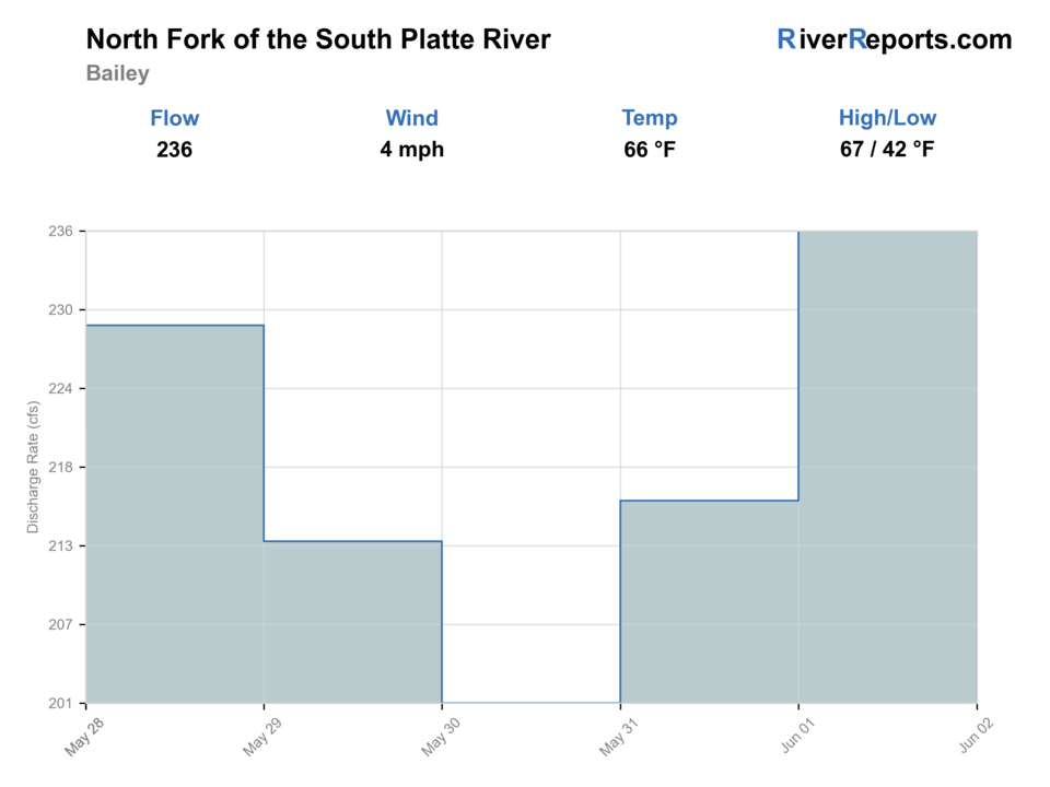
Showing the available RiverReports chart while the current structured flow series loads. Check the chart on RiverReports Opens in a new tab.
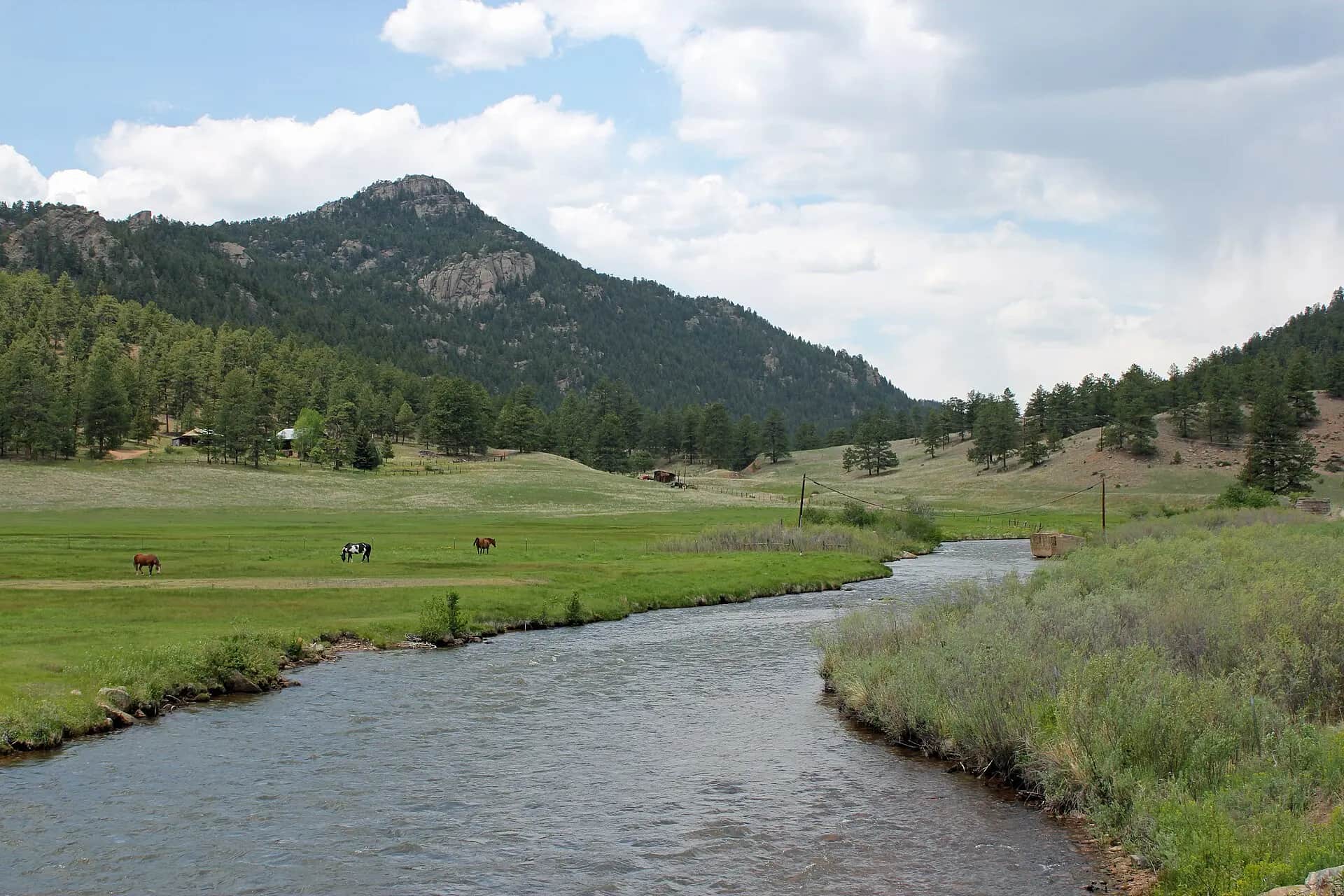
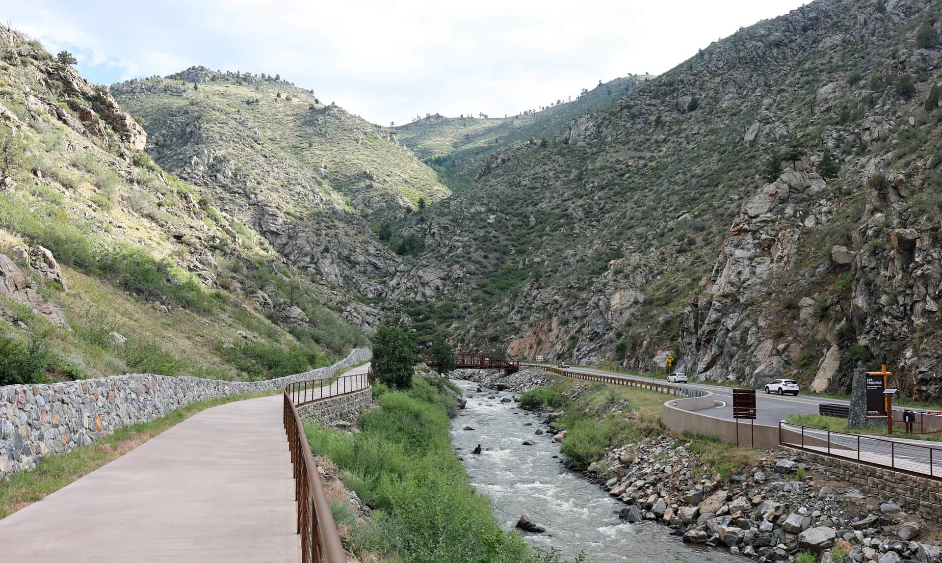
Photo: Jeffrey Beall Opens in a new tab. · CC BY 3.0
No single best way to fish. Wading and Bank fishing have the same top score. Use current access, footing, weather, and local rules to choose.
Rating updatedRiver local time:
Colorado DWR shows 137 cfs. The flow has been stable over about 6 hours. Colorado DWR records for this date (1990-2025, 32 readings) show a typical middle range of 48 cfs to 169 cfs. Flow is within the typical range for this date, so weather, temperature, and access become the next checks.
NWS air forecast near
This is an air forecast, not a river-temperature reading. Check the water with a stream thermometer before fishing in hot weather.
Latest stored Colorado DWR gauge
Showing the available RiverReports chart while the current structured flow series loads. Check the chart on RiverReports Opens in a new tab.
Chance Rain Showers
The National Weather Service forecast is temporarily unavailable.
Latest stored Colorado DWR gauge: North Fork South Platte at Bailey
Seasonal starting points, not a live hatch report. Match what you see on the water.
Use the date range first, then change one fly at a time.
Also try black beauty
All 18 fly names link to a matching Fly Box guide and image.
Fish close water from a confirmed public bank. Do not cross a rising channel to reach another run.
Start with a dry-dropper or light nymph rig in soft seams and pocket water.
Use a longer leader, smaller flies, and a quiet bank approach.
Stay out of the main current. Leave if footing or a safe exit is doubtful.
Stop trout fishing and choose cooler water.
Wading and Bank fishing have the same top score. Use current access, footing, weather, and local rules to choose.
Wading is in play only where your chosen access has clear footing, legal entry, and no forced crossings.
Bank and edge fishing remains a practical low-commitment option if access is legal and footing is safe.
This report does not recommend floating this reach.
Check the Bailey flow, choose a confirmed public reach, and carry a thermometer. This report is for wading and bank fishing, not floating.
Fish only when the Bailey graph is fresh and not rising, the water is below 70°F, and your chosen reach is clearly public.
Colorado DWR shows 137 cfs. The flow has been stable over about 6 hours. Colorado DWR records for this date (1990-2025, 32 readings) show a typical middle range of 48 cfs to 169 cfs. Flow is within the typical range for this date, so weather, temperature, and access become the next checks.
Fall · September through November: Cooler water brings BWOs, midges, October caddis, and small streamers.
The current NWS air forecast is about 51F, and the next 24-hour high reaches about 62F. Chance Rain Showers.
No active NWS alert was returned for this forecast point.
Leave when flow rises, footing is unsafe, water reaches 70°F, an official restriction applies, or access is unclear.
PLABAICO reports discharge at Bailey. Use a fresh, steady or falling trend. It does not tell you water temperature, clarity, access, or another reach’s flow.
Leave when flow rises, footing is unsafe, water reaches 70°F, an official restriction applies, or access is unclear.
Choose one of the four reach cards, open its official link, and fish a short section well.
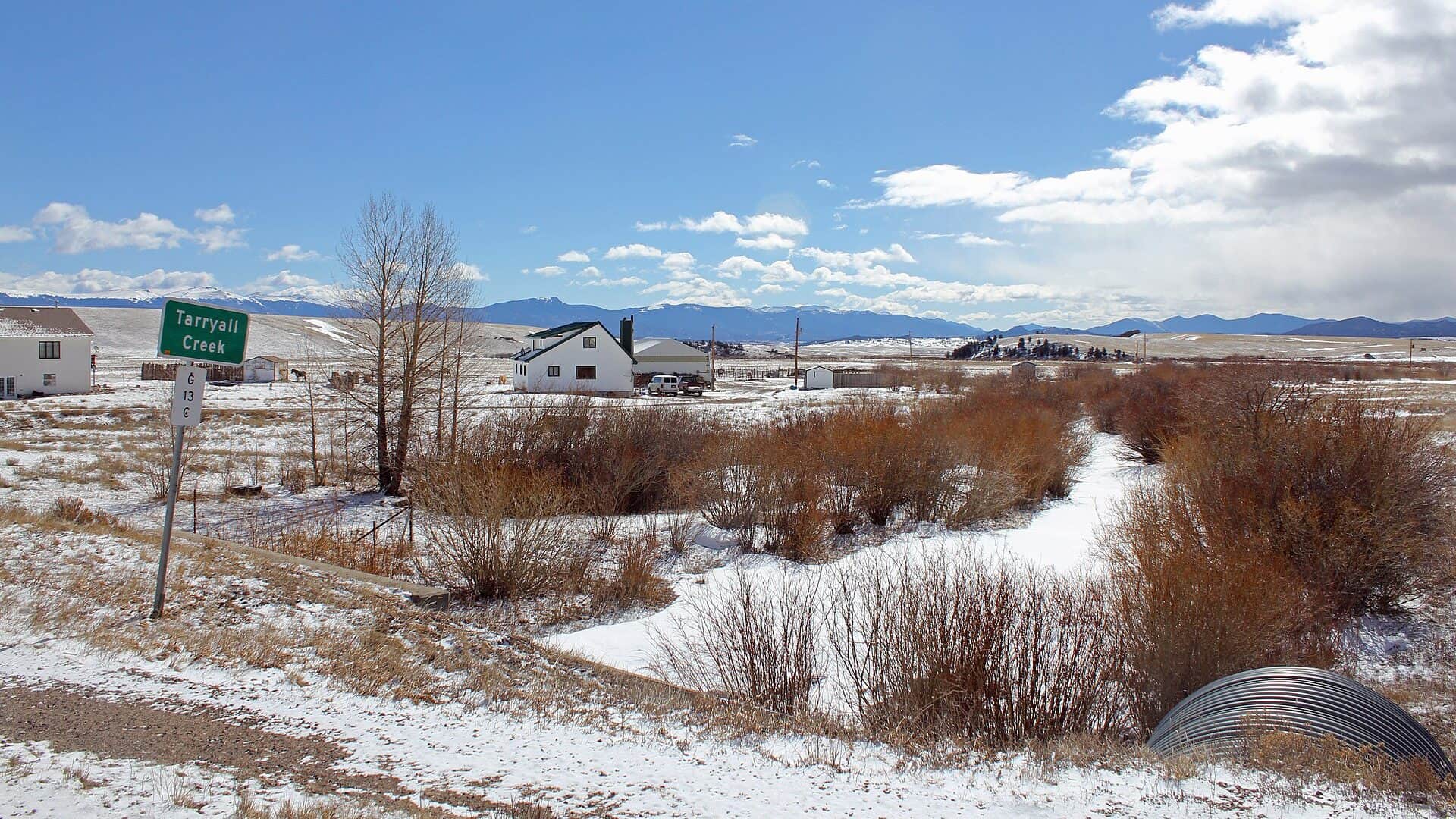
If the North Fork does not fit, check the South Platte, Tarryall Creek, or Clear Creek report from scratch.
When: Cool, open-water periods
Use the small-stream dry, nymph, and streamer advice on this page.
When: Cool, open-water periods
Use the same temperature and handling check as brown trout.
When: Confirm the exact reach
Do not plan the trip around them without current section-by-section evidence.
When: Headwater context only
This report does not confirm brook trout in each main-stem reach.
Choose one reach and open its link before you park.
Check current CPW rules and posted signs for the exact reach. Do not carry rules from Deckers or Eleven Mile Canyon onto the North Fork.
| River section and season | Fishing rules |
|---|---|
| BaileyMcGraw Park | The clearest documented public start: several hundred feet, a bridge, and a fishing deck. Official rule |
| Grantupper river | Use the atlas and posted signs. The Bailey gauge is downstream of this reach. Official rule |
| PinePine Valley Ranch | Use the county map to separate park land, trails, and marked private property within Pine Valley Ranch. Official rule |
| Foxton and South Platte confluence | Use the Fishing Atlas and posted signs to confirm the exact public parcel before North Fork guidance gives way to the main South Platte. Official rule |
DWR flow, CPW rules and maps, county access, weather, and water-quality sources were checked August 21, 2026. No field visit is claimed.
Check what is allowed, where the rule applies, and whether the river is open.
Check the latest river reading and forecast before you leave.
Check public entry points, land rules, and seasonal access changes.
Use these links for stocking, safety, and other local details.
Check what is allowed, where the rule applies, and whether the river is open.
Open the current rules and check the river section, season, and special limits.
Check the latest river reading and forecast before you leave.
Open this page and check the latest safety advice before your trip.
Open this river reading to check the latest level, flow, and update time.
Open this river reading to check the latest level, flow, and update time.
Check public entry points, land rules, and seasonal access changes.
Open the land or access page, then check signs before you park or enter.
Open the land or access page, then check signs before you park or enter.
Open the land or access page, then check signs before you park or enter.
Open the land or access page, then check signs before you park or enter.
Use these links for stocking, safety, and other local details.
Open this page for more river information and check when it was last updated.
Open this page and check the latest safety advice before your trip.
What was checked: DWR flow, CPW rules and maps, county access, weather, and water-quality sources were checked. No field visit is claimed.
Live measurements and forecasts keep their provider timestamps. Rules, access, and trip guidance use the source-review date shown here. BlueStreamFly planning advice is editorial interpretation, not an agency notice.
First-hand experience: BlueStreamFly does not claim a first-hand visit or local field test for this report unless a real contributor is explicitly named and linked.
Colorado DWR PLABAICO shows discharge at Bailey and its recent trend. It does not show water temperature, clarity, access, or conditions on every reach.
McGraw Park is the clearest documented start. Use the official link on each of the four reach cards for Grant, Pine Valley Ranch, Foxton, and the confluence.
Check current CPW rules and posted signs for the exact reach. Do not copy rules from another South Platte section.
This report does not verify a safe, legal float reach, launch, or takeout. Plan to fish from the bank or wade at confirmed public access.