Wade, bank, and floatLimited data
Use the live sources and what you see at the river before choosing an approach.
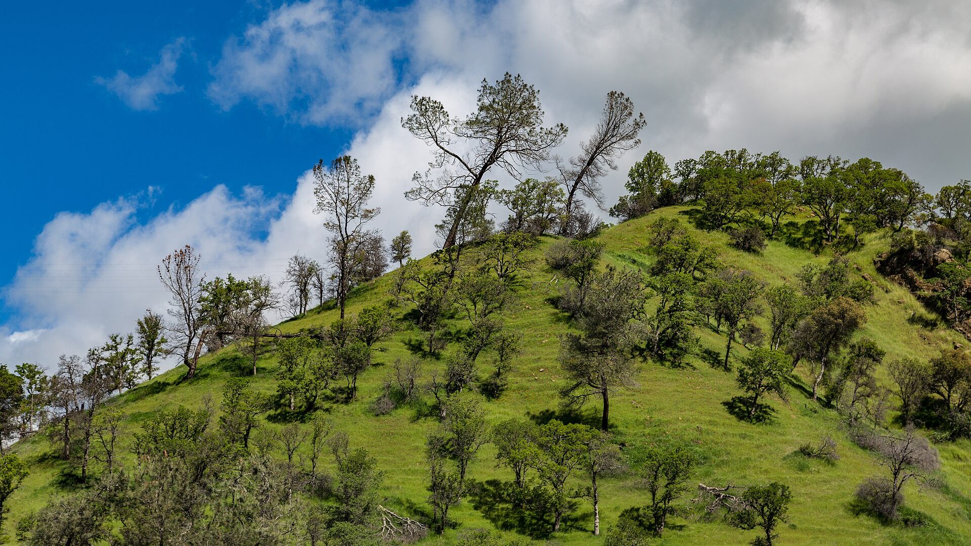
Fly fishing report · West
A Putah Creek report for the Monticello Dam to Lake Solano tailwater, special regulations, access-site planning, flow checks, small flies, and careful handling.
Check flow & weatherThe NWS forecast is near 100F and this page does not have live water temperature. Treat trout and salmonid fishing as unsafe unless a stream thermometer proves otherwise.
There is not enough reliable current information to recommend wading, bank fishing, or floating.
Use the live sources and what you see at the river before choosing an approach.
Check before you drive
Look at whether the river is rising or falling, then check wind, rain, and storms. These can change both safety and fishing.
Before you rely on this report
Conditions can change quickly. Check these dates before you decide to fish, and open the official source when safety or rules matter.
High confidence in the current score inputs.
8 sources are listed below for you to open.
4 public access records are listed. Private spots are never shown.
Source checked Jul 30, 2026
Plan your access
These are public parking, launch, trail, or recreation areas—not secret fishing spots. We never show an angler's private pins, notes, or photos here.
Area description
The numbered sites are the practical public-access framework. Check current county notes before going.
Yolo County has reported access-site issues, including damaged or closed parking in places.
Private land and narrow roadside access make etiquette important.
Area description
The core special-regulation trout planning water. Verify CDFW rule language before fishing.
Yolo County has reported access-site issues, including damaged or closed parking in places.
Private land and narrow roadside access make etiquette important.
Area description
CDFW land context near the creek, but other land managers and boundaries still matter.
Yolo County has reported access-site issues, including damaged or closed parking in places.
Private land and narrow roadside access make etiquette important.
Area description
A useful town for food, fuel, weather checks, and backup plans.
Yolo County has reported access-site issues, including damaged or closed parking in places.
Private land and narrow roadside access make etiquette important.
How to fish it
Putah Creek is useful because it is close to Sacramento and the Bay Area, but it is also technical, pressured, and rule-sensitive. Check CDFW special regulations and access-site status before fishing.
The NWS forecast is near 100F and this page does not have live water temperature. Treat trout and salmonid fishing as unsafe unless a stream thermometer proves otherwise.
USGS shows 585 cfs with a stable over about 6 hours trend. Today's flow is within the normal seasonal range of 540 cfs to 643 cfs. Weather, water temperature, and access are the next checks.
Summer: Morning fishing and temperature awareness matter.
No active NWS alert was returned for this forecast point.
Read the water
Putah rewards slow, careful fishing. Watch the gauge, pick a legal access site, keep the profile low, and be ready to fish small nymphs or midges rather than forcing big-water tactics into a tight tailwater.
Use 5X to 7X, small midges, careful approaches, and long drifts.
Nymph seams, buckets, and undercut banks with enough weight for clean depth control.
Wading and crossings become harder. Fish edges only if access and footing are safe.
Do not fish over redds or visible spawning trout. Move to non-spawning water.
Your trip plan
Use the Winters gauge trend more than a single magic number. Stable tailwater releases fish better than abrupt bumps, and once flows rise enough to push the banks or erase the soft edges, the best move is usually to fish only obvious safe seams or come back another day.
Skip the trip when the access site you planned is closed, when the creek is already crowded at the legal pullouts, when warm weather makes trout handling questionable, or when changing releases would force you to guess about safe wading.
Choose the access before choosing the fly box: verify which of Yolo County Sites 1 through 5 are open, decide whether you want the easier county-side pullouts or a wildlife-area walk, then fish one or two pieces of water thoroughly instead of bouncing between every parking lot.
If Putah is too crowded, too warm, or running awkwardly, pivot to the Lower Yuba for a larger tailwater plan or to the American for a different Sacramento-area day that is less dependent on one narrow access corridor.
Hatches & flies
 Fly pattern · report suggests “Zebra midge”Zebra MidgeLook for a very slim tapered thread body, evenly spaced contrasting wire rib, a small bead, and no tail or wing. The reviewed classic is black with silver wire and a silver bead. Red, olive, brown, glass-bead, jig-hook, resin-coated, or tailed forms must remain labeled variations rather than replacing the classic identity.See photos & how to fish it ↗
 Fly pattern · report suggests “WD-40”WD-40Look for a curved emerger hook with no bead, a very slim thread abdomen, a short barred mallard- or wood-duck-style tail, the same barred fibers folded over a small dubbed thorax as the wing case, and no separate upright wing. The exact assortment shows color variation but does not establish each hook size or recipe. A two-tailed dubbed RS2 with a short clipped wing, a beaded WD-40, and the CDC-winged WD-40 Plus must remain separately labeled.See photos & how to fish it ↗+ 2 more reviewed guides in the Fly Box
  Fly family · report suggests “PMD nymph”Pale Morning Dun PatternsPMD names an insect group, not one fly. Pale nymphs, trailing-shuck emergers, upright or low-riding duns, cripples, and spent-wing spinners stay visibly separate.See family guide ↗
 Fly family · report suggests “caddis pupa”Caddis Pupa PatternsCaddis pupa is a life-stage family. Curved bodies, wing pads, legs, beads, and soft-hackle collars differ among exact patterns and must be labeled.See family guide ↗+ 2 more reviewed guides in the Fly Box Fly pattern · report suggests “Zebra midge”Zebra MidgeLook for a very slim tapered thread body, evenly spaced contrasting wire rib, a small bead, and no tail or wing. The reviewed classic is black with silver wire and a silver bead. Red, olive, brown, glass-bead, jig-hook, resin-coated, or tailed forms must remain labeled variations rather than replacing the classic identity.See photos & how to fish it ↗
 Fly pattern · report suggests “elk hair caddis”Elk Hair CaddisLook for a tented elk- or deer-hair wing, clipped hair head, dubbed body, rib, and hackle palmered along the body. The body color should be labeled because tiers often match different natural caddis colors.See photos & how to fish it ↗+ 2 more reviewed guides in the Fly Box
  Fly family · report suggests “BWO emerger”Blue-Winged Olive PatternsBWO describes a hatch group, not one fly. Nymph, emerger, dry, cripple, and spinner profiles must stay separate because they occupy different parts of the water column.See family guide ↗
 Fly family · report suggests “midge cluster”Midge Patterns by StageMidge wording can mean a threadlike larva, wing-padded pupa, film emerger, tiny adult, or visible cluster. Those profiles fish at different depths.See family guide ↗+ 2 more reviewed guides in the Fly Box
 Pick an access site and fish slowly instead of constantly leapfrogging other anglers.
Keep a low profile and fish from the bank before stepping into the run.
Change weight and depth in small increments; drag is easy to spot on Putah.
Use barbless hooks and land fish quickly.
Avoid redds, spawning fish, and crowded lanes.
Rules & closures
Open the agency page to confirm the exact river section, species, season, tackle rules, limits, and emergency closures.
Official links checkedWe checked the state source but did not find a clearly supported exception for this river. Check the official rules for the exact section you plan to fish.
This summary helps with trip planning. The linked agency rule is the one you must follow.
Updates from anglers
Recent observations from general areas of Putah Creek. We review every update before it appears and never publish exact fishing spots, private access details, or photo locations.
You can still use the river plan above. Check back later for recent observations from other anglers.
Where this report comes from
Fishing guidance checked: May 31, 2026
Site check: Jul 14, 2026. We regularly test report links, live scores, flow and weather data, and page loading. The content date changes only when the fishing guidance or its sources change.
Common questions
The core trout reach is managed under special regulations. Verify CDFW's current Putah Creek rule language before fishing.
Use USGS 11454000, Putah Creek near Winters, with RiverReports as the quick chart view.
Bring midges, BWOs, small mayfly nymphs, caddis pupa, and a few careful small streamers.
Not usually. It is small, pressured, technical, and rule-sensitive.