7-day U.S. Geological Survey chart
Recent flow
Discharge
368 cfs255 cfs
Oct 15Oct 22
Latest reading: 267 cfs. Stable over about 6 hours. Chart covers Oct 15 through Oct 22; readings are provisional and may be revised.
Best option: Floating. A float can fit better than wading only if launches, shuttle, boat skill, wind, and local rules all check out.
Rating updatedRiver local time:
USGS shows 267 cfs. The flow has been stable over about 6 hours. USGS marks this reading provisional and may revise it. USGS records for this date (1997-2026, 30 readings) show a median near 44 cfs and a high-water marker near 78 cfs; today's flow is above that high-water marker. Treat this as high-water fishing: wading, clarity, crossings, and boat control need a conservative check.
NWS air forecast near
This is an air forecast, not a river-temperature reading. Check the water with a stream thermometer before fishing in hot weather.
Discharge
Latest reading: 267 cfs. Stable over about 6 hours. Chart covers Oct 15 through Oct 22; readings are provisional and may be revised.
Scattered Rain Showers
The National Weather Service forecast is temporarily unavailable.
Current U.S. Geological Survey gauge: Yellowstone River at Bridge Campground downstream context
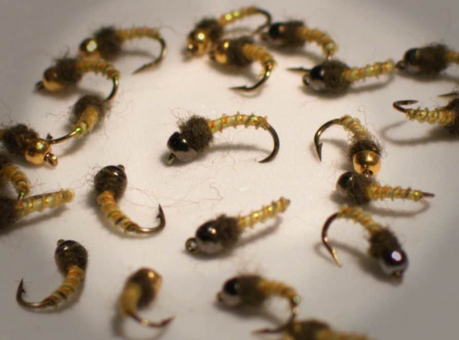
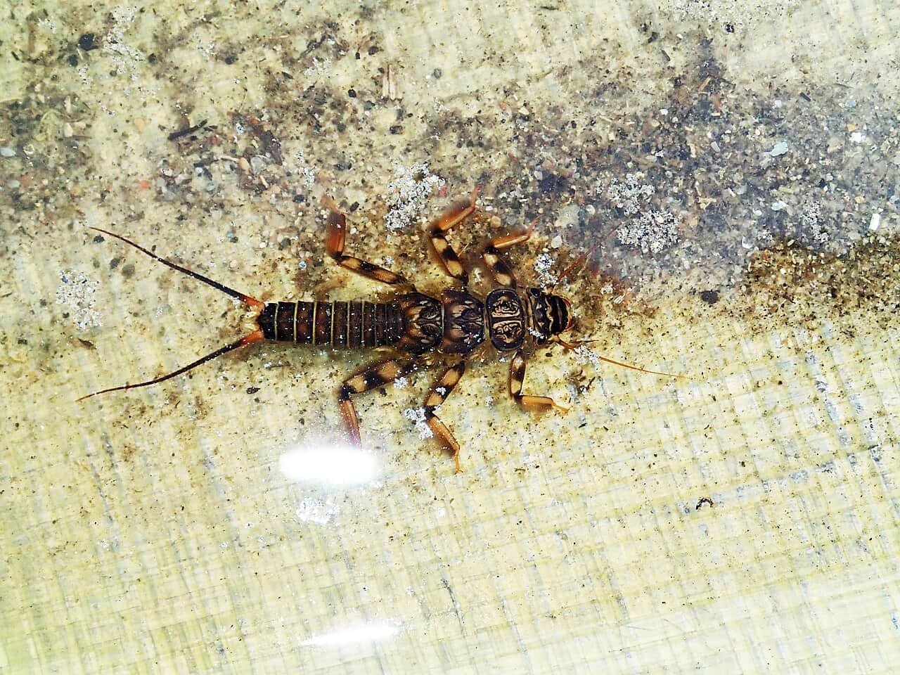
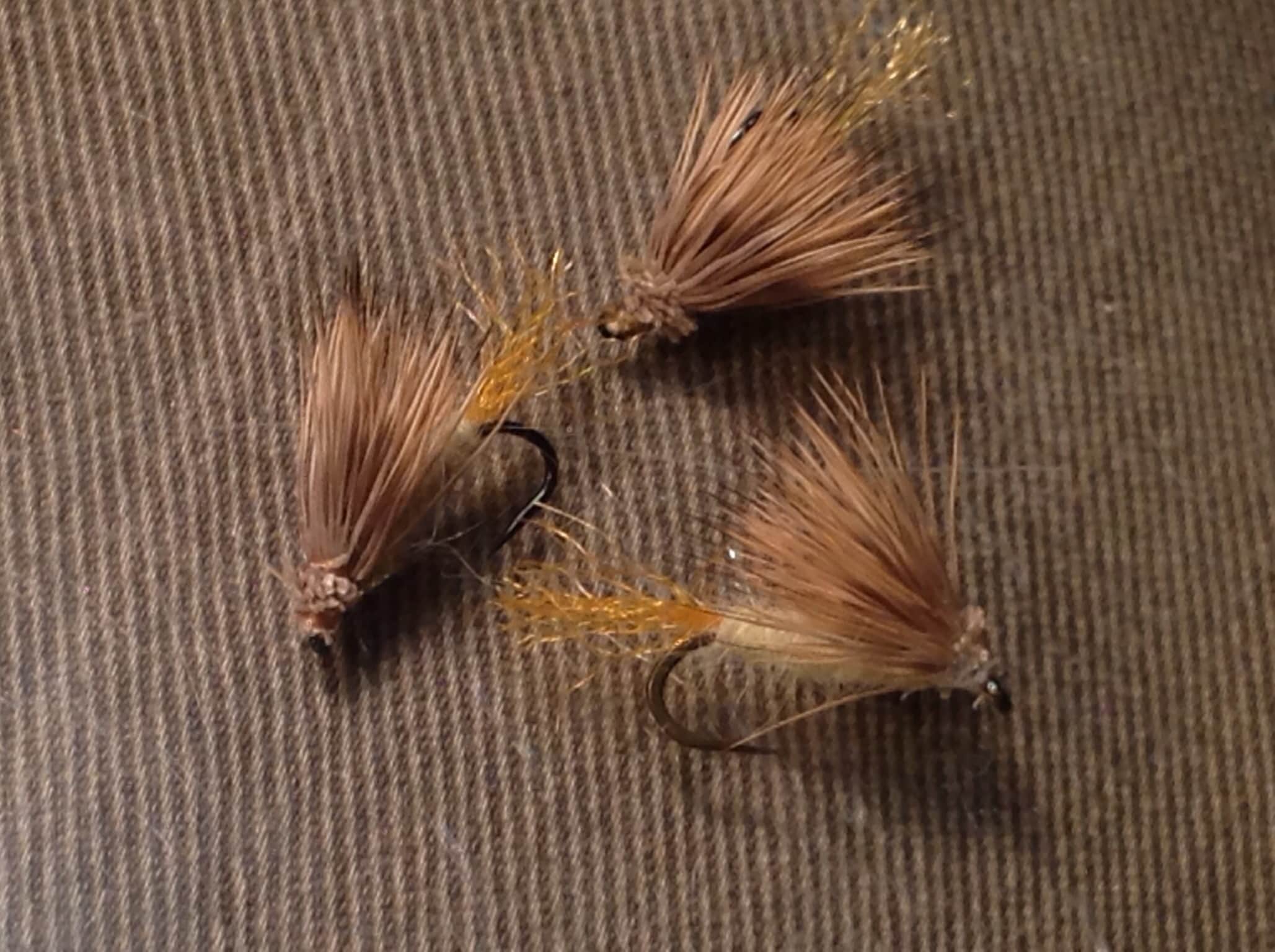
Seasonal starting points, not a live hatch report. Match what you see on the water.
Each fly name opens its matching Fly Box guide.
The best window is usually after dangerous runoff drops and before late-summer heat or drought makes trout handling questionable. Stable flows, cool nights, and afternoon insect activity are the best signs. Skip the creek during high water, muddy road conditions, lightning risk, or warm low-flow afternoons.
Best all-around window for dry-droppers, light nymphs, and careful pocket-water fishing.
Watch the downstream gauge trend, but make the creek decision on clarity, depth, and road safety.
Use longer leaders, smaller dries, stealth, and morning sessions. Stop if the water warms.
Fish slower nymphs and midges during the warmest part of the day, and expect a short bite window.
These scores compare the risks of wading, bank fishing, and floating.
Wading is the most sensitive plan today. Use protected edges only, avoid crossings, and downgrade quickly if clarity or current feels wrong.
This report does not recommend bank fishing on this reach.
A float can fit better than wading only if launches, shuttle, boat skill, wind, and local rules all check out.
Is Yellowstone Creek worth the trip today? Check flow, weather, hatches, access, and rules for Utah before you go.
Yellowstone Creek is a Utah stream in Duchesne County, not the Vermont coordinate that came through in the seed data. There is no verified public live gauge on the creek itself, so this page uses the nearby Yellowstone River at Bridge Campground gauge as drainage context and keeps the fishing advice practical rather than overstated.
USGS shows 267 cfs. The flow has been stable over about 6 hours. USGS marks this reading provisional and may revise it. USGS records for this date (1997-2026, 30 readings) show a median near 44 cfs and a high-water marker near 78 cfs; today's flow is above that high-water marker. Treat this as high-water fishing: wading, clarity, crossings, and boat control need a conservative check.
Float: A float can fit better than wading only if launches, shuttle, boat skill, wind, and local rules all check out.
Fall: Cooler water and fewer people help; check weather and access before committing to high-country roads.
The current NWS air forecast is about 37F, and the next 24-hour high reaches about 45F. Scattered Rain Showers.
No active NWS alert was returned for this forecast point.
There is no verified public live gauge on the creek itself. Use USGS 09292000 at Bridge Campground and USGS 09292500 near Altonah as drainage context, then make the final call from actual creek depth, clarity, and temperature.
Skip Yellowstone Creek when forest roads are muddy or closed, when lightning or runoff makes a high-country day unsafe, when downstream gauges show a sharp runoff pulse, or when low warm water would make trout handling poor.
Build the day around scouting one reachable public section, checking the Fish Utah map, and using Ashley National Forest road and campground context before committing. Keep the fly box simple and make water temperature part of every decision.
If Yellowstone Creek is not ready, compare the Duchesne for a larger nearby freestone, the Green for a high-confidence tailwater day, or the Weber when a different Utah trout river fits the weather better.
Use these places as starting points. Open the access link below and check posted signs before you park or enter.
Check the current Utah DWR fishing guidebook and Fish Utah before fishing Yellowstone Creek or nearby water. Rules, species rules, closures, and access details can vary by reach and year.
Use the corrected Utah GNIS location as the map anchor for Yellowstone Creek in Duchesne County.
Ashley National Forest lists Bridge Campground on the Yellowstone River area. Use it as a practical nearby access and flow-context area.
Forest Service south-slope recreation pages are the starting point for road, campground, and public-land planning.
Use the DWR map before fishing to confirm public access, water identity, stocking or species notes, and current rule context.
Official agencies and primary river operators come first. Secondary tools are labeled so you know what carries the most weight.
Check what is allowed, where the rule applies, and whether the river is open.
Check the latest river reading and forecast before you leave.
Check public entry points, land rules, and seasonal access changes.
Use these links for stocking, safety, and other local details.
Check what is allowed, where the rule applies, and whether the river is open.
Open the current rules and check the river section, season, and special limits.
Open the current rules and check the river section, season, and special limits.
Check the latest river reading and forecast before you leave.
Open this page and check the latest safety advice before your trip.
Open this river reading to check the latest level, flow, and update time.
Open this river reading to check the latest level, flow, and update time.
Check public entry points, land rules, and seasonal access changes.
Open the land or access page, then check signs before you park or enter.
Open the land or access page, then check signs before you park or enter.
Open the land or access page, then check signs before you park or enter.
Open the land or access page, then check signs before you park or enter.
Use these links for stocking, safety, and other local details.
Open this page and check the latest safety advice before your trip.
Open this page for more river information and check when it was last updated.
What was checked: This report is maintained from current regulation, access, flow, weather, and public planning sources so anglers can make better trip decisions than a raw gauge or generic overview would allow.
Live measurements and forecasts keep their provider timestamps. Rules, access, and trip guidance use the source-review date shown here. BlueStreamFly planning advice is editorial interpretation, not an agency notice.
First-hand experience: BlueStreamFly does not claim a first-hand visit or local field test for this report unless a real contributor is explicitly named and linked.
Utah DWR guidebook, Fish Utah map, stream-access rules, Ashley National Forest road/campground status, USGS 09292000, NWS weather, and water temperature
Use USGS 09292000, Yellowstone River at Bridge Campground, as drainage context only. It is not an exact Yellowstone Creek gauge, so confirm creek depth, clarity, and temperature on-site.
Start with Fish Utah, Ashley National Forest south-slope recreation pages, and the Bridge Campground area. Then verify land ownership and posted access at the specific pullout or trail you plan to use.
Often yes in normal small-water conditions, but runoff, storm bumps, slick rocks, and cold water can still make it unsafe. If the creek is pushy or dirty, wait for a better window.