WadeNeed data
This report does not describe this as a primary mode. Verify legal access, depth, launches, and retreat options before planning around it.
Fly fishing report · Southwest
A warmwater report for the Colorado River below Austin, focused on bass, flows, public access planning, fly choices, and heat-aware safety.
Check flow & weatherCurrent USGS flow is 1,170 cfs. It has risen about 1133% over the past 6 hours. Today's flow is within the normal seasonal range of 592 cfs to 1,920 cfs. Weather, water temperature, and access are the next checks.
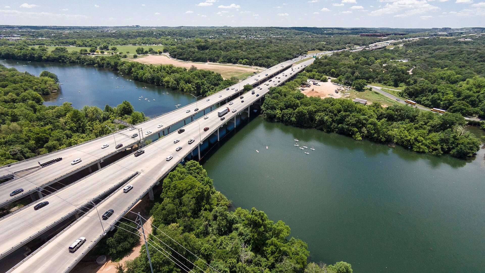
Compare wading, bank fishing, and floating before choosing how you will fish.
This report does not describe this as a primary mode. Verify legal access, depth, launches, and retreat options before planning around it.
Bank and edge fishing remains a practical low-commitment option if access is legal and footing is safe.
A float is in play where this report supports boat access and wind, releases, and shuttle logistics are manageable.
Check before you drive
Look at whether the river is rising or falling, then check wind, rain, and storms. These can change both safety and fishing.
Before you rely on this report
Conditions can change quickly. Check these dates before you decide to fish, and open the official source when safety or rules matter.
High confidence in the current score inputs.
7 sources are listed below for you to open.
3 public access records are listed. Private spots are never shown.
Source checked Jul 30, 2026
Plan your access
These are public parking, launch, trail, or recreation areas—not secret fishing spots. We never show an angler's private pins, notes, or photos here.
Area description
Use USGS Austin flow and local access rules before launching or wading.
Official access and leased access details can change; verify before driving.
Do not assume sandbars, roads, or banks are public.
Area description
TPWD lists this leased access downstream from Lady Bird Lake with reservation details.
Official access and leased access details can change; verify before driving.
Do not assume sandbars, roads, or banks are public.
Trailhead
TPWD paddling-trail information helps with put-in, takeout, and float planning.
Official access and leased access details can change; verify before driving.
Do not assume sandbars, roads, or banks are public.
How to fish it
The Colorado below Austin is a bass and warmwater fly fishing page. Flow, access, heat, and shuttle logistics matter more than a trout-style hatch chart.
USGS shows 1,170 cfs with a rising about 1133% over about 6 hours trend. Today's flow is within the normal seasonal range of 592 cfs to 1,920 cfs. Weather, water temperature, and access are the next checks.
Summer: Early and late topwater can be good; midday heat is often a safety and comfort problem.
The NWS forecast is about 81F with Clear.
No active NWS alert was returned for this forecast point.
Skip or shorten the trip when heat index is unsafe, thunderstorms are building, flows are rising, the shuttle is not confirmed, or the only plan depends on crossing or using private banks.
Read the water
The best fly fishing plan is a dawn or evening warmwater session with flow, heat, and access already checked. On hot afternoons, fish shade, deeper outside bends, and current breaks or shift to scouting.
Use smaller streamers, long casts, and focus on deeper shade and current edges.
Float or wade carefully and cover banks, wood, and gravel transitions.
Avoid unsafe wading and use larger dark streamers from secure positions.
Fish early or late, carry water, and protect fish and yourself from heat stress.
Your trip plan
Use USGS 08158000 at Austin for the immediate below-city trend and USGS 08159200 at Bastrop for downstream context. Stable or gently moving warmwater flows are easier to fish than sudden release changes, flood pulses, or low hot water.
Skip or shorten the trip when heat index is unsafe, thunderstorms are building, flows are rising, the shuttle is not confirmed, or the only plan depends on crossing or using private banks.
Start with the Austin gauge, then compare the Bastrop trend and TPWD access pages. Pick one legal access sequence, fish shade and current early, carry water, and keep a shorter bank plan ready if wind or heat makes a float unattractive.
If the lower Colorado is too hot, high, muddy, or access-complicated, compare the Guadalupe River, San Marcos River, or Pedernales River before forcing the same warmwater plan.
Hatches & flies
 Fly pattern · report suggests “Clouser”Clouser Deep MinnowThe reviewed chartreuse-and-white form uses sparse layered bucktail with flash around lead barbell eyes. The eyes make the fly sink between strips and ride hook point up; color, eye weight, hook, and saltwater materials must remain labeled.See photos & how to fish it ↗
 Fly family · report suggests “crayfish”Crayfish and Crawfish PatternsCrayfish patterns differ in claw size, eye placement, shell profile, leg motion, weighting, hook orientation, and snag resistance. Rust, brown, olive, tan, and pale molting colors remain labeled choices rather than aliases for one recipe.See family guide ↗+ 3 more reviewed guides in the Fly Box
  Fly family · report suggests “Foam popper”Bass and Panfish Popper PatternsPoppers may use cupped foam, cork, balsa, deer hair, or pencil-shaped heads. Head face, size, buoyancy, tail, legs, and weed guard determine sound and action; a generic popper label does not identify one fly.See family guide ↗
 Fly family · report suggests “slider”Warmwater Slider and Diver PatternsA slider has a tapered, flat, or softly shaped head that glides or pushes a small wake with limited noise. A diver has an angled, collared, folded, or otherwise shaped head that pulls below the surface when stripped and rises on the pause. Frog, baitfish, and large-insect profiles can be tied on either idea, so the exact head action, buoyancy, hook orientation, weed guard, and material must stay named.See family guide ↗+ 3 more reviewed guides in the Fly Box Fly family · report suggests “Baitfish streamer”Baitfish and Minnow PatternsBaitfish and minnow wording does not identify one fly. Local forage size and shape, flash, body depth, hook orientation, and weighting distinguish shiner, smelt, dace, sculpin, and general minnow imitations.See family guide ↗Fly family · report suggests “crayfish”Crayfish and Crawfish PatternsCrayfish patterns differ in claw size, eye placement, shell profile, leg motion, weighting, hook orientation, and snag resistance. Rust, brown, olive, tan, and pale molting colors remain labeled choices rather than aliases for one recipe.See family guide ↗+ 3 more reviewed guides in the Fly Box
  Fly family · report suggests “Small streamer”Trout Streamer PatternsStreamer is a method-and-silhouette family, not a recipe. Size, color, weight, and presentation phrases stay visible, while baitfish, leech, sculpin, Woolly Bugger, and articulated identities link to their more specific destinations when known.See family guide ↗Fly family · report suggests “crawfish”Crayfish and Crawfish PatternsCrayfish patterns differ in claw size, eye placement, shell profile, leg motion, weighting, hook orientation, and snag resistance. Rust, brown, olive, tan, and pale molting colors remain labeled choices rather than aliases for one recipe.See family guide ↗+ 3 more reviewed guides in the Fly Box
 Start with topwater near shade before the sun gets high.
Switch to baitfish streamers on current edges, bridge shade, wood, and outside bends.
Use crawfish and hellgrammite patterns when fish hold close to bottom.
Plan floats around official access, takeouts, heat, and wind rather than mileage alone.
Do not publish or follow private-bank shortcuts unless access is clearly allowed.
Rules & closures
Open the agency page to confirm the exact river section, species, season, tackle rules, limits, and emergency closures.
Official links checkedWe checked the state source but did not find a clearly supported exception for this river. Check the official rules for the exact section you plan to fish.
This summary helps with trip planning. The linked agency rule is the one you must follow.
Updates from anglers
Recent observations from general areas of Colorado River Below Austin. We review every update before it appears and never publish exact fishing spots, private access details, or photo locations.
You can still use the river plan above. Check back later for recent observations from other anglers.
Where this report comes from
Fishing guidance checked: Jul 6, 2026
Site check: Jul 14, 2026. We regularly test report links, live scores, flow and weather data, and page loading. The content date changes only when the fishing guidance or its sources change.
Common questions
Check USGS Austin and Bastrop gauges, TPWD access pages, weather, heat, and shuttle logistics.
Start with official TPWD access and paddling information around below-Austin and Bastrop reaches.
Sometimes near access points and low water, but much of the river fishes better from a kayak or boat.
Bring the seasonal fly box, then adjust size, weight, and color to the water level, clarity, temperature, and fishing pressure you find.