RiverReports preview · current series loading
Recent flow
RiverReports gauge
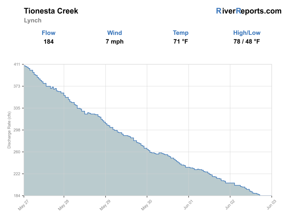
Showing the available RiverReports chart while the current structured flow series loads. Check the chart on RiverReports Opens in a new tab.
No single best way to fish. Wading, Bank fishing, and Floating have the same top score. Use current access, footing, weather, and local rules to choose.
Rating updatedRiver local time:
USGS shows 69 cfs. The flow has been stable over about 6 hours. USGS marks this reading provisional and may revise it. USGS records for this date (1939-2026, 56 readings) show a typical middle range of 56 cfs to 203 cfs. Flow is within the typical range for this date, so weather, temperature, and access become the next checks.
NWS air forecast near
RiverReports gauge
Showing the available RiverReports chart while the current structured flow series loads. Check the chart on RiverReports Opens in a new tab.
Mostly Clear
The National Weather Service forecast is temporarily unavailable.
RiverReports gauge: Tionesta Creek at Lynch
Seasonal starting points, not a live hatch report. Match what you see on the water.
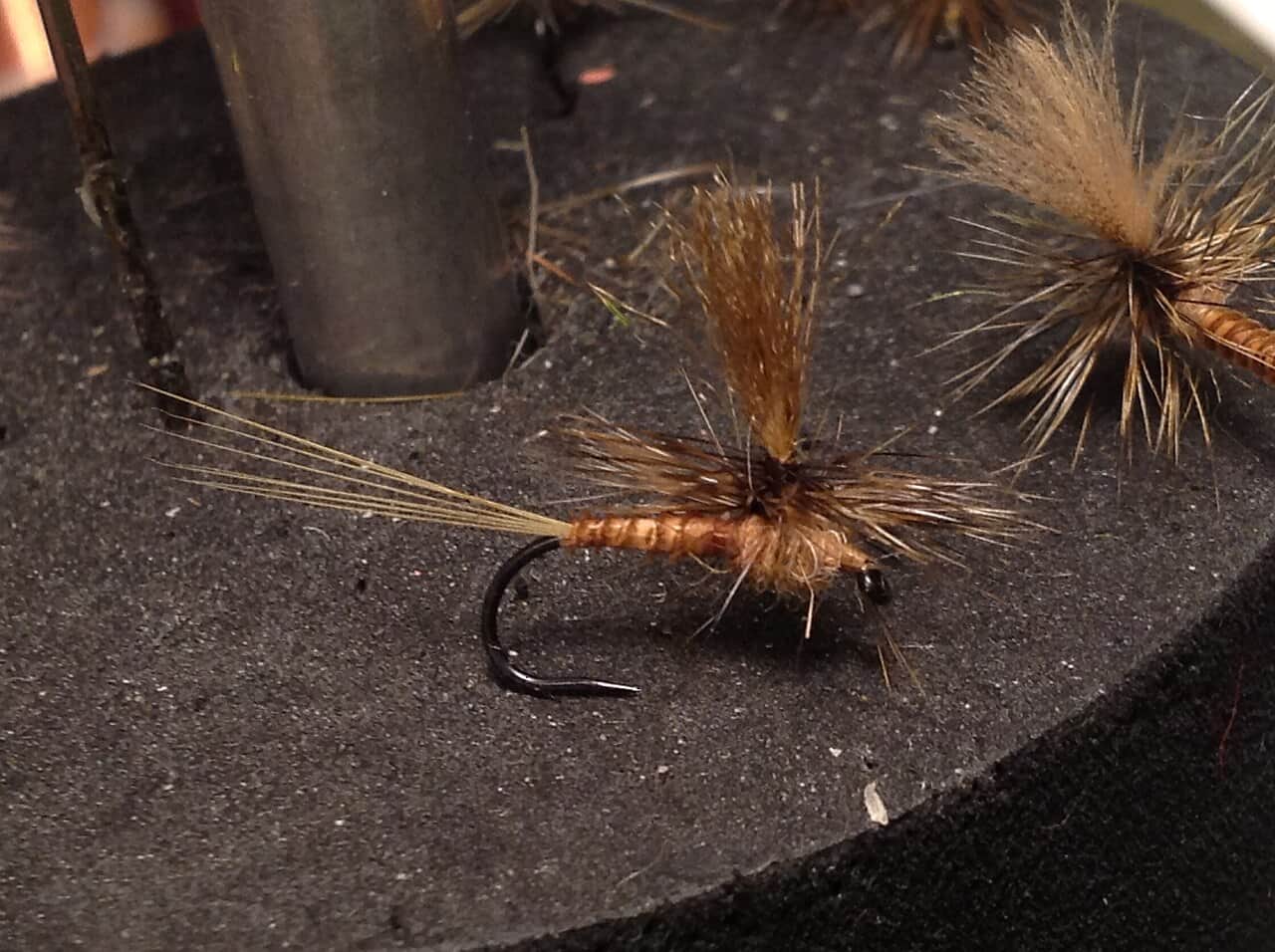
Also try Sulfur comparadun
Each fly name opens its matching Fly Box guide.
The best Tionesta Creek days come on stable or gently falling flow, cool nights, and enough clarity to read the softer inside seams before the creek gets pushy. Skip the trip when rain spikes the creek, when the lower water starts to feel more like a boat-control day than a trout wade, or when warm afternoons threaten trout handling in the upper stocked sections.
Best for covering seam edges, bucket water below boulders, and outside bends with nymphs, wets, or compact streamers.
Fish early, use longer leaders, and work the softer edges first. Tionesta gets harder fast when trout can see you from the first bridge pool.
Treat it like a soft-edge and bank-water day, or skip it. This creek gets too wide and pushy to force casual crossings once color and volume rise together.
Carry a thermometer and be ready to shorten the upper-trout plan or move to a colder backup instead of stressing stocked fish in slow warm water.
Wading, Bank fishing, and Floating have the same top score. Use current access, footing, weather, and local rules to choose.
Wading is in play only where your chosen access has clear footing, legal entry, and no forced crossings.
Bank and edge fishing remains a practical low-commitment option if access is legal and footing is safe.
A float is in play where this report supports boat access and wind, releases, and shuttle logistics are manageable.
Is Tionesta Creek worth the trip today? Check flow, weather, hatches, access, and rules for Pennsylvania before you go.
Tionesta Creek clears the source bar because Pennsylvania Fish and Boat Commission stocking sections, RiverReports flow support, the Lynch USGS location, and the PFBC Tionesta Access all give anglers real planning anchors. The most dependable first publish is the stocked main stem from the Lynch and Mayburg-Kelletville area down to the lower dam-to-mouth section near Tionesta, where public references are clearest.
USGS shows 69 cfs. The flow has been stable over about 6 hours. USGS marks this reading provisional and may revise it. USGS records for this date (1939-2026, 56 readings) show a typical middle range of 56 cfs to 203 cfs. Flow is within the typical range for this date, so weather, temperature, and access become the next checks.
Fall: Often the better big-creek planning window if flow settles and trout water cools back into a safer handling zone.
USGS water temperature is about 50.5F, and the rolling 24-hour high did not trigger a heat caution. USGS marks the temperature data provisional and may revise it.
No active NWS alert was returned for this forecast point.
Skip or shorten the trip when rain stains the creek, crossings feel pushy, trout water is warm, or lower-creek launch and exit details are unclear.
Use the Lynch trend as the first filter. Stable or gently falling water with enough clarity is the best starting window.
Skip or shorten the trip when rain stains the creek, crossings feel pushy, trout water is warm, or lower-creek launch and exit details are unclear.
Pick one PFBC section or Tionesta Access before rigging instead of trying to cover the whole creek at once.
Compare Kettle Creek, Pine Creek, or smaller colder smaller streams when Tionesta is stained, warm, or too large to wade confidently.
Use these places as starting points. Open the access link below and check posted signs before you park or enter.
Recheck current Pennsylvania Fish & Boat Commission rules and the trout-stocking section details before fishing. The stocked sections, permit requirements, and year-round lower-water rules matter more here than generic statewide assumptions.
Best used as the flow and creek-character checkpoint for the day. Verify actual public pull-offs and posted property before treating the immediate gauge area as your main access.
PFBC lists this stocked main-stem stretch explicitly, making it the clearest upper-middle trout planning section on the report.
PFBC's formal boat access with free parking is the cleanest public anchor for the lower year-round stocked-trout water.
Official agencies and primary river operators come first. Secondary tools are labeled so you know what carries the most weight.
Check what is allowed, where the rule applies, and whether the river is open.
Check the latest river reading and forecast before you leave.
Check public entry points, land rules, and seasonal access changes.
Check what is allowed, where the rule applies, and whether the river is open.
Open the current rules and check the river section, season, and special limits.
Open the current rules and check the river section, season, and special limits.
Check the latest river reading and forecast before you leave.
Open this page and check the latest safety advice before your trip.
Open this river reading to check the latest level, flow, and update time.
Open this river reading to check the latest level, flow, and update time.
Check public entry points, land rules, and seasonal access changes.
Open the land or access page, then check signs before you park or enter.
Open the land or access page, then check signs before you park or enter.
Open the land or access page, then check signs before you park or enter.
What was checked: This report starts with official regulation, access, flow, weather, and public-land sources, then adds practical planning guidance for fly anglers.
Live measurements and forecasts keep their provider timestamps. Rules, access, and trip guidance use the source-review date shown here. BlueStreamFly planning advice is editorial interpretation, not an agency notice.
First-hand experience: BlueStreamFly does not claim a first-hand visit or local field test for this report unless a real contributor is explicitly named and linked.
Use RiverReports for the quick chart and keep the USGS Lynch site open as the named creek reference paired with that chart.
Mostly a section-by-section wade plan in the upper and middle stocked water, with a better case for floating or launch-based scouting in the lower dam-to-mouth section.
Start by choosing one official section. The Mayburg-to-Kelletville trout water is the clearest upper-middle section, while Tionesta Access is the cleanest lower public anchor.