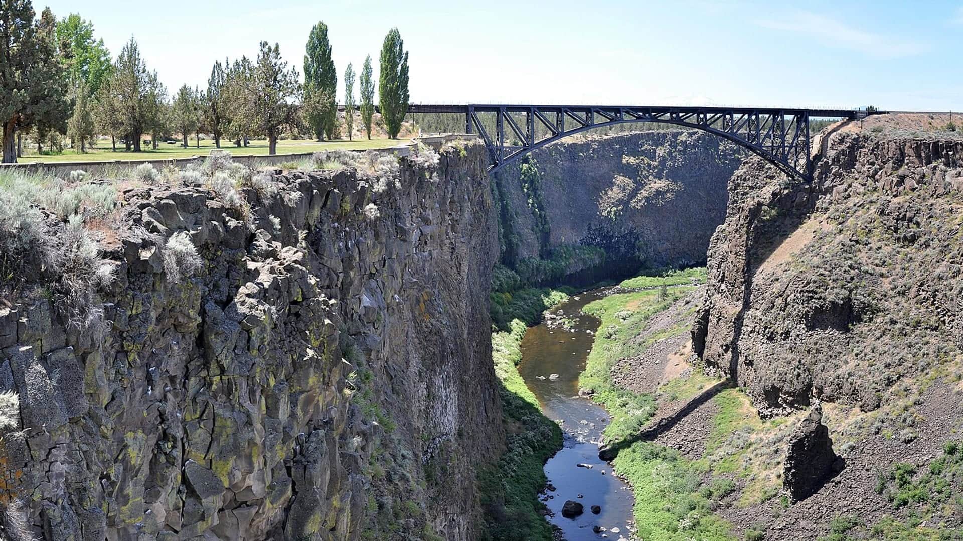
RiverReports preview · current series loading
Recent flow
RiverReports gauge
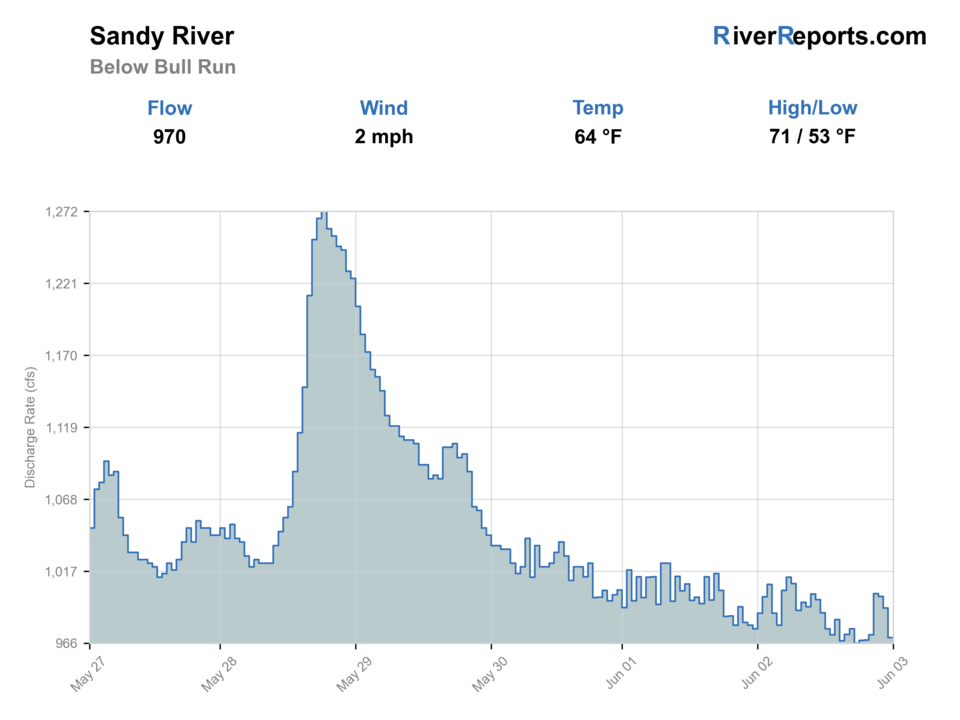
Showing the available RiverReports chart while the current structured flow series loads. Check the chart on RiverReports Opens in a new tab.
No single best way to fish. Wading, Bank fishing, and Floating have the same top score. Use current access, footing, weather, and local rules to choose.
Rating updatedRiver local time:
USGS shows 266 cfs. The flow has been stable over about 6 hours. USGS marks this reading provisional and may revise it. USGS records for this date (1911-2025, 81 readings) show a median near 694 cfs and a low-water marker near 330 cfs; today's flow is unusually low for the date. Low water can make fish spooky, warm, pressured, or concentrated; check temperature and handling risk.
NWS air forecast near
RiverReports gauge
Showing the available RiverReports chart while the current structured flow series loads. Check the chart on RiverReports Opens in a new tab.
Clear
The National Weather Service forecast is temporarily unavailable.
RiverReports gauge: Sandy River below Bull Run River
Seasonal starting points, not a live hatch report. Match what you see on the water.
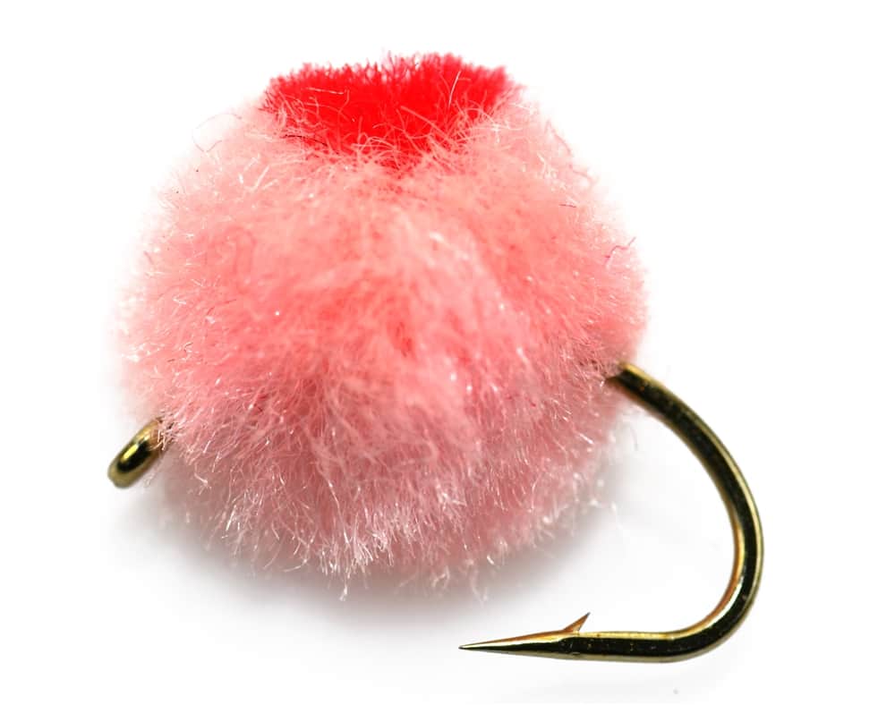
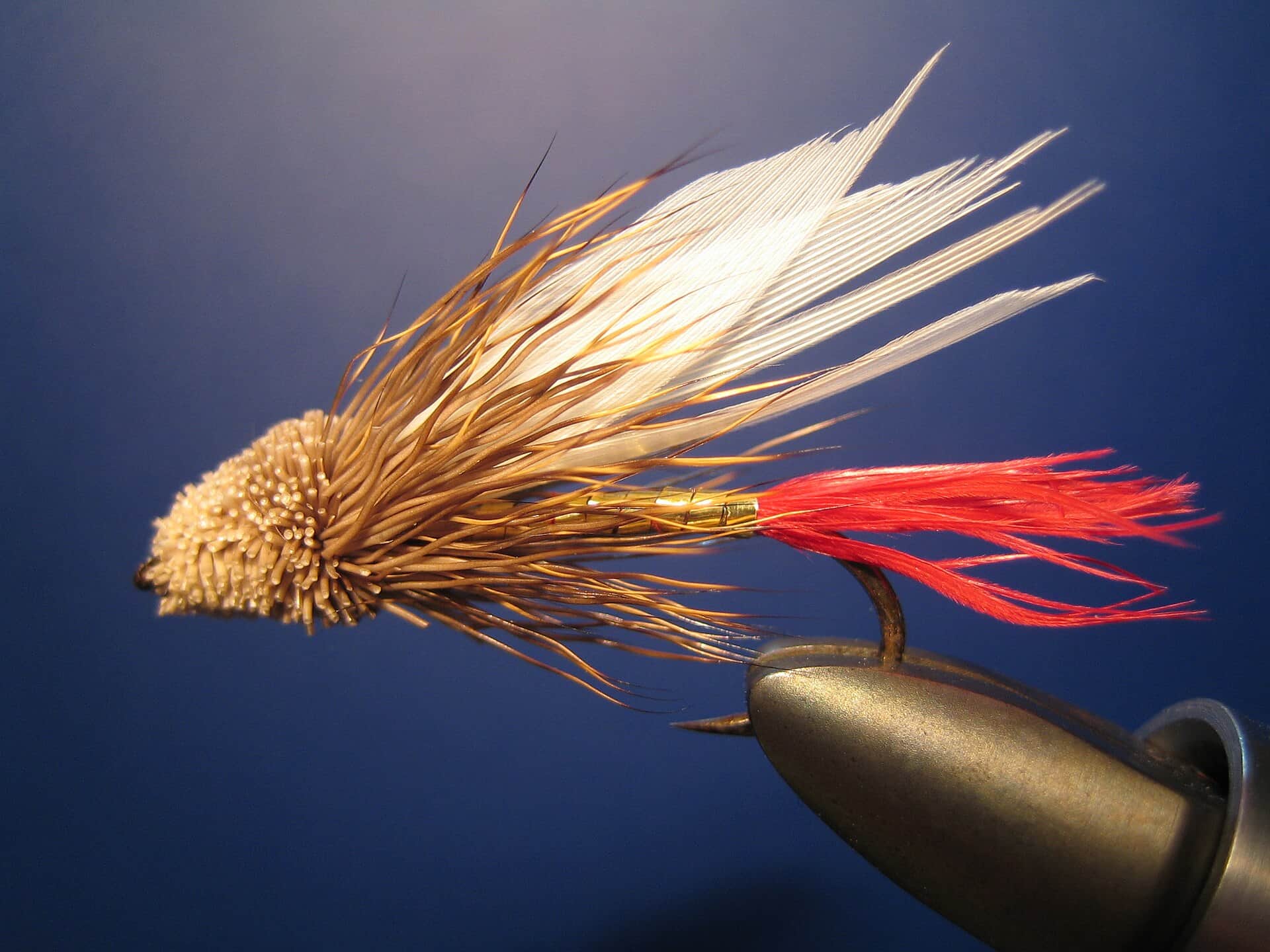
Also try Green Butt Skunk, small dry-dropper
Each fly name opens its matching Fly Box guide.
The best Sandy days happen when the flow is stable enough to read edges, the color is green instead of dirty, and the park or hatchery access you want is actually usable. If the river is rising, blown out, or carrying too much push for safe footing, wait it out.
Best all-around Sandy window for swing lanes, nymphing seams, and safe edge access.
Wait it out or keep the day very short, because the Sandy gets pushy fast.
Use smaller flies, longer leaders, and quieter approaches around obvious park access.
Shorten the day, fish early or late, and do not overhandle salmonids.
Wading, Bank fishing, and Floating have the same top score. Use current access, footing, weather, and local rules to choose.
Wading is in play only where your chosen access has clear footing, legal entry, and no forced crossings.
Bank and edge fishing remains a practical low-commitment option if access is legal and footing is safe.
A float is in play where this report supports boat access and wind, releases, and shuttle logistics are manageable.
Is Sandy River worth the trip today? Check flow, weather, hatches, access, and rules for Oregon before you go.
The Sandy gives Portland-area anglers a practical steelhead and salmon-travel-water option, but the river can shift color, push, and clarity fast. The cleanest public planning anchors are the Bull Run gauge, Oxbow access, and the hatchery-downstream area ODFW highlights in the current Willamette report.
USGS shows 266 cfs. The flow has been stable over about 6 hours. USGS marks this reading provisional and may revise it. USGS records for this date (1911-2025, 81 readings) show a median near 694 cfs and a low-water marker near 330 cfs; today's flow is unusually low for the date. Low water can make fish spooky, warm, pressured, or concentrated; check temperature and handling risk.
An active public alert is in effect near this forecast point, so the score is capped at caution until conditions are checked. NWS alert: Frost Advisory issued October 21 at 6:55PM PDT until October 24 at 9:00AM PDT by NWS Portland OR.
Wade: Wading is in play only where your chosen access has clear footing, legal entry, and no forced crossings.
Fall: A good scouting and access season before colder steelhead conditions take over.
USGS water temperature is about 49.6F, and the rolling 24-hour high did not trigger a heat caution. USGS marks the temperature data provisional and may revise it.
Green dropping water with enough current to move fish but not so much push that every seam becomes a dangerous crossing problem.
Skip it when the Sandy is rising, fully dirty, or so crowded around obvious access that you start making rushed casting or wading decisions.
Base near Troutdale or Sandy, check the gauge before daylight, then commit to either the hatchery area or one park-access zone and fish it carefully.
The Crooked, McKenzie, or even a Deschutes plan can be better when the Sandy is blown out, heavily pressured, or carrying too much glacial color to read cleanly.
Use these places as starting points. Open the access link below and check posted signs before you park or enter.
Use current ODFW guidance before fishing the Sandy, especially for salmon or steelhead tags, Columbia Basin endorsement requirements, and any section-by-section seasonal updates.
ODFW-managed access and fish-viewing context with direct fishing access to the Sandy River.
A dependable lower-river public-access anchor with park and river-safety information.
Gauge-driven lower-system planning area that keeps the route focused on real day-trip water.
Official agencies and primary river operators come first. Secondary tools are labeled so you know what carries the most weight.
Check what is allowed, where the rule applies, and whether the river is open.
Check the latest river reading and forecast before you leave.
Check public entry points, land rules, and seasonal access changes.
Use these links for stocking, safety, and other local details.
Check what is allowed, where the rule applies, and whether the river is open.
Open the current rules and check the river section, season, and special limits.
Open the current rules and check the river section, season, and special limits.
Check the latest river reading and forecast before you leave.
Open this page and check the latest safety advice before your trip.
Open this river reading to check the latest level, flow, and update time.
Open this river reading to check the latest level, flow, and update time.
Check public entry points, land rules, and seasonal access changes.
Open the land or access page, then check signs before you park or enter.
Open the land or access page, then check signs before you park or enter.
Use these links for stocking, safety, and other local details.
Open this page for more river information and check when it was last updated.
What was checked: This report starts with official regulation, access, flow, weather, and public-land sources, then adds practical planning guidance for fly anglers.
Live measurements and forecasts keep their provider timestamps. Rules, access, and trip guidance use the source-review date shown here. BlueStreamFly planning advice is editorial interpretation, not an agency notice.
First-hand experience: BlueStreamFly does not claim a first-hand visit or local field test for this report unless a real contributor is explicitly named and linked.
Check the Bull Run gauge trend, current ODFW Willamette update, and the specific park or hatchery access you plan to use. The Sandy can look fishable in one spot and still be a poor or unsafe call in another.
Start with the hatchery-downstream area or Oxbow-area public access because both are backed by current official information and let you build a cleaner day than random roadside scouting.
Yes in selected edges and bars, but the river rewards conservative footing. Treat it as a bank-and-seam river first, especially when color and current start changing fast.
Skip it when the river is rising, fully dirty, crowded enough to force bad decisions, or carrying too much push for a safe edge-based approach.