RiverReports preview · current series loading
Recent flow
RiverReports gauge
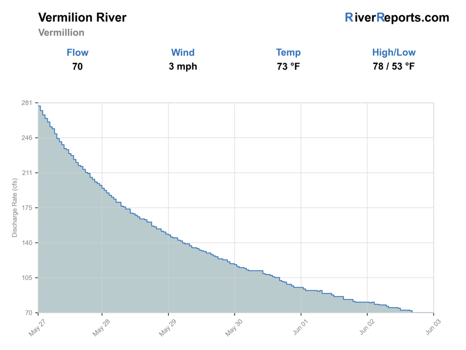
Showing the available RiverReports chart while the current structured flow series loads. Check the chart on RiverReports Opens in a new tab.
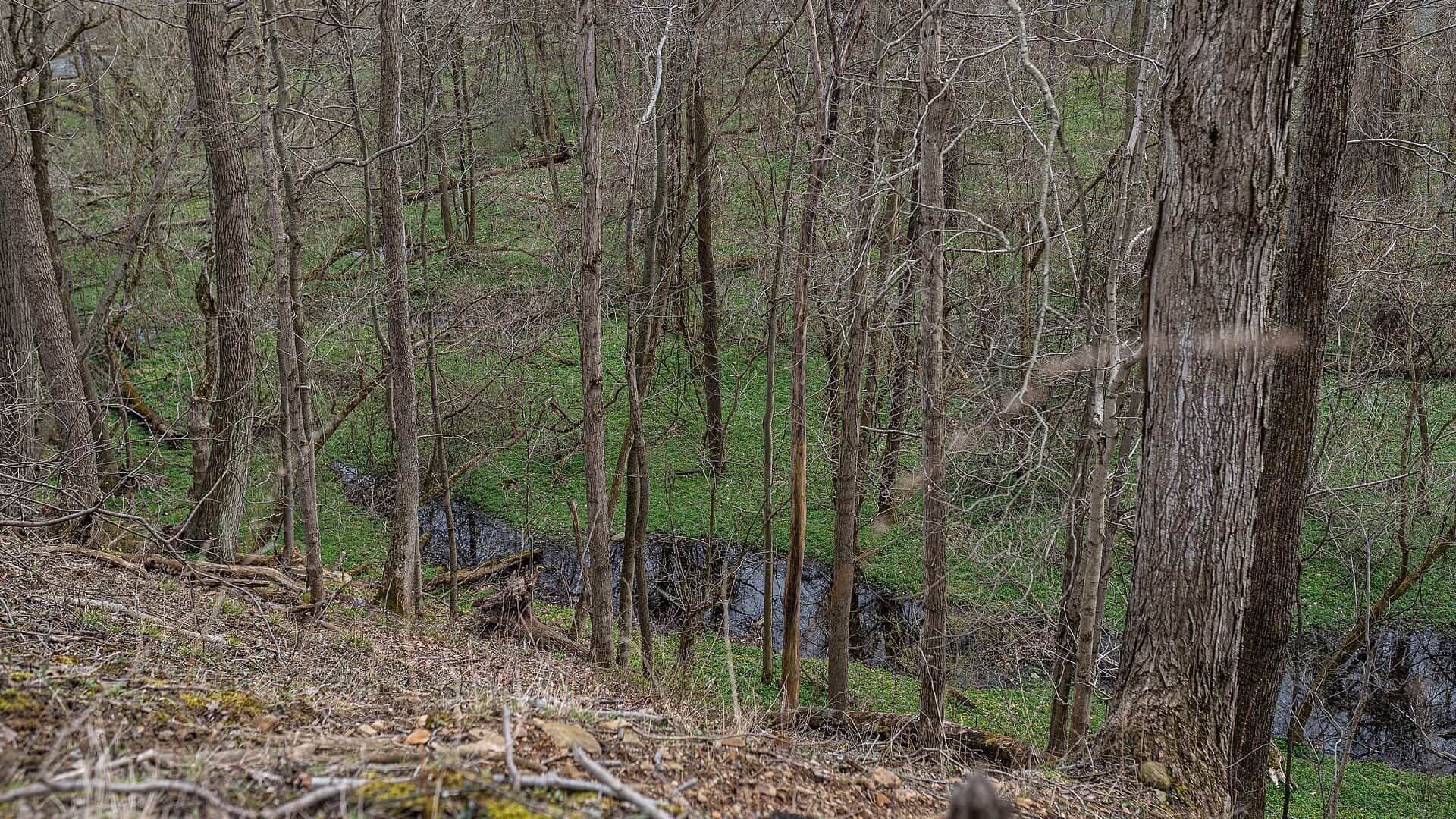
Best option: Wading. Wading is in play only where your chosen access has clear footing, legal entry, and no forced crossings.
Rating updatedRiver local time:
USGS shows 27 cfs. The flow has been stable over about 6 hours. USGS marks this reading provisional and may revise it. USGS records for this date (1951-2026, 56 readings) show a typical middle range of 5 cfs to 55 cfs. Flow is within the typical range for this date, so weather, temperature, and access become the next checks.
NWS air forecast near
This is an air forecast, not a river-temperature reading. Check the water with a stream thermometer before fishing in hot weather.
RiverReports gauge
Showing the available RiverReports chart while the current structured flow series loads. Check the chart on RiverReports Opens in a new tab.
Sunny
The National Weather Service forecast is temporarily unavailable.
RiverReports gauge: Vermilion River near Vermilion
Seasonal starting points, not a live hatch report. Match what you see on the water.
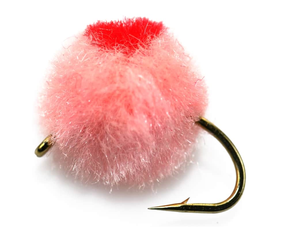
Each fly name opens its matching Fly Box guide.
Fish the Vermilion when flow is up but falling, color is fishable, and wading is safe. In low water, use smaller patterns or switch to warmwater tactics.
Let the river settle. This smaller river can be unsafe and unfishable during a hard rise.
Best steelhead window for eggs, nymphs, and streamers.
Use smaller flies, long leaders, and careful approaches.
Fish smallmouth structure instead of stressing lake-run trout.
These scores compare the risks of wading, bank fishing, and floating.
Wading is in play only where your chosen access has clear footing, legal entry, and no forced crossings.
This report does not recommend bank fishing on this reach.
This report does not recommend floating this reach.
Is Vermilion River worth the trip today? Check flow, weather, hatches, access, and rules for Ohio before you go.
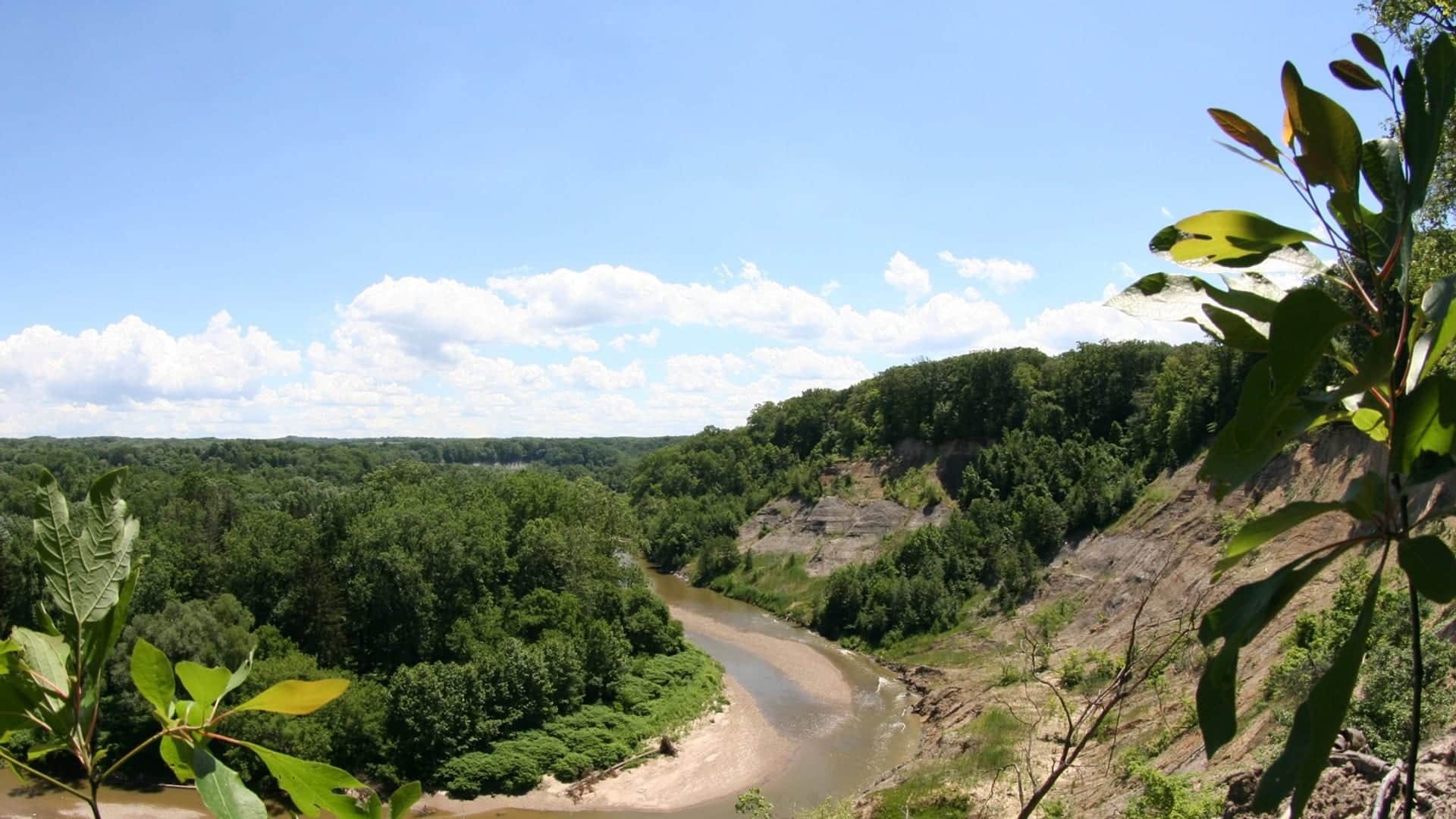
The Vermilion is a smaller western Steelhead Alley river. It can be excellent when spring or fall rain brings fish and color is right, but it can also get thin, clear, and technical fast.
USGS shows 27 cfs. The flow has been stable over about 6 hours. USGS marks this reading provisional and may revise it. USGS records for this date (1951-2026, 56 readings) show a typical middle range of 5 cfs to 55 cfs. Flow is within the typical range for this date, so weather, temperature, and access become the next checks.
Fall: Early fish can move after rain, but the river needs enough flow.
The current NWS air forecast is about 62F, and the next 24-hour high reaches about 64F. Sunny.
No active NWS alert was returned for this forecast point.
Skip wading when the river is rising fast, muddy, icy, access is unclear, or the only available information is stale temperature or turbidity data.
Use RiverReports Vermilion and USGS 04199500 for discharge and stage. Treat temperature or cloudy water as useful only when clearly current.
Skip wading when the river is rising fast, muddy, icy, access is unclear, or the only available information is stale temperature or cloudy water data.
Check the gauge, ODNR map, Vermilion River Reservation, weather, and river color. If the smaller river is too clear or crowded, have another smaller stream ready.
If the Vermilion is low, muddy, or crowded, compare Rocky River, Grand River, or Chagrin River before forcing the same timing window.
Use these places as starting points. Open the access link below and check posted signs before you park or enter.
Confirm Ohio rules and ODNR Lake Erie smaller stream guidance before fishing, especially if keeping fish or moving between smaller streams.
Lorain County Metro Parks access and a key public planning source.
Lake-connected steelhead and smallmouth context.
Use the steelhead map before assuming a bridge or bank is public.
Official agencies and primary river operators come first. Secondary tools are labeled so you know what carries the most weight.
Check what is allowed, where the rule applies, and whether the river is open.
Check the latest river reading and forecast before you leave.
Check public entry points, land rules, and seasonal access changes.
Use these links for stocking, safety, and other local details.
Check what is allowed, where the rule applies, and whether the river is open.
Open the current rules and check the river section, season, and special limits.
Check the latest river reading and forecast before you leave.
Open this page and check the latest safety advice before your trip.
Open this river reading to check the latest level, flow, and update time.
Open this river reading to check the latest level, flow, and update time.
Check public entry points, land rules, and seasonal access changes.
Open the land or access page, then check signs before you park or enter.
Open the land or access page, then check signs before you park or enter.
Open the land or access page, then check signs before you park or enter.
Use these links for stocking, safety, and other local details.
Open this page for more river information and check when it was last updated.
What was checked: This report is maintained from current regulation, access, flow, weather, and public planning sources so anglers can make better trip decisions than a raw gauge or generic overview would allow.
Live measurements and forecasts keep their provider timestamps. Rules, access, and trip guidance use the source-review date shown here. BlueStreamFly planning advice is editorial interpretation, not an agency notice.
First-hand experience: BlueStreamFly does not claim a first-hand visit or local field test for this report unless a real contributor is explicitly named and linked.
Check discharge, stage, recent rain, color, and mapped public access first. Treat temperature and cloudy water as helpful only if they are clearly current.
Start with the Vermilion River Reservation and the ODNR steelhead map before exploring other banks.
Yes at moderate levels, but shale, quick rises, and private banks make conservative wading important.
Bring the seasonal fly box, a few backup nymphs or streamers, and enough tippet to change tactics when flow, clarity, temperature, or crowds change.