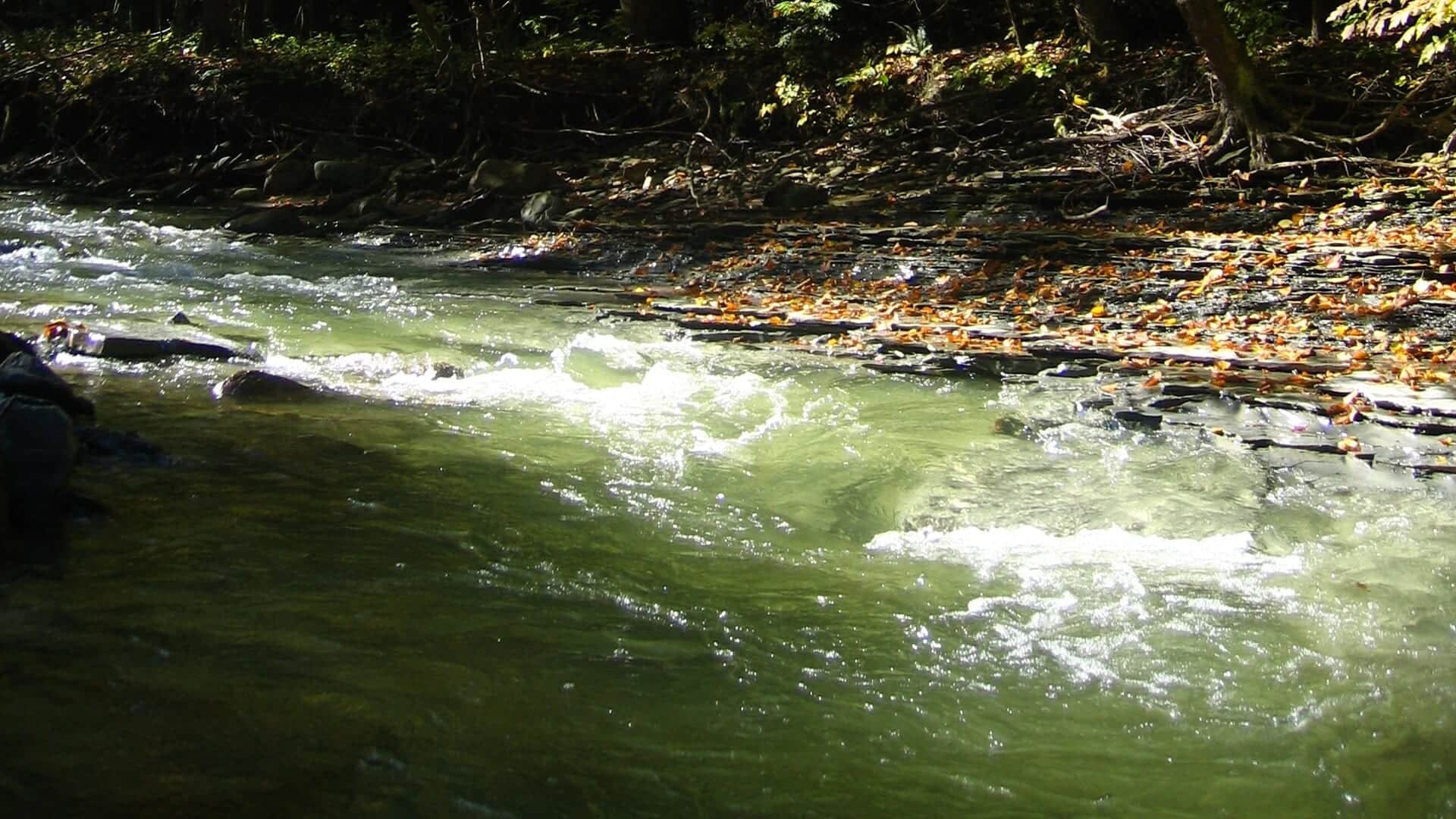
Chautauqua Creek water in western New York
All New York reports

Fly fishing report · Northeast

Chautauqua Creek

A Westfield-area Chautauqua Creek report for Lake Erie steelhead, public fishing rights, flow, special regulations, fly choices, and safety.

Check flow & weather
Today's river scoreHigh source confidence
Poor

Best option: Bank / edge.

Bank and edge fishing is the safer default when water is high, pushy, or not fully verified.

Updated Jul 13, 11:17 PM UTCUsually refreshes about every 45 minutes
Recommended approachBank / edge

Mode scores adjust the river-wide score for the risks of wading, bank fishing, or floating.

Wade8/100

Wading is the most sensitive plan today. Use protected edges only, avoid crossings, and downgrade quickly if clarity or current feels wrong.

Bank / edge · Best fit20/100

Bank and edge fishing is the safer default when water is high, pushy, or not fully verified.

FloatCheck

This report does not describe this as a primary mode. Verify legal access, depth, launches, and retreat options before planning around it.

Confirm before you leave

Flow and weather right now.

Use the flow trend to confirm the score before you leave. Weather can change the safest and most productive fishing window.

Loading current flow and weather.

River strategy

A smaller Erie trib where timing matters.

Chautauqua Creek is smaller than the Catt, so it can fish very well when steelhead are in and conditions are right, but it also gets low, clear, or crowded quickly.

  • Use the Westfield gauge before expecting enough water for fish movement.
  • Know the South Gale Street to water-intake catch-and-release section before fishing.
  • Fish small and natural when the creek is low and clear.
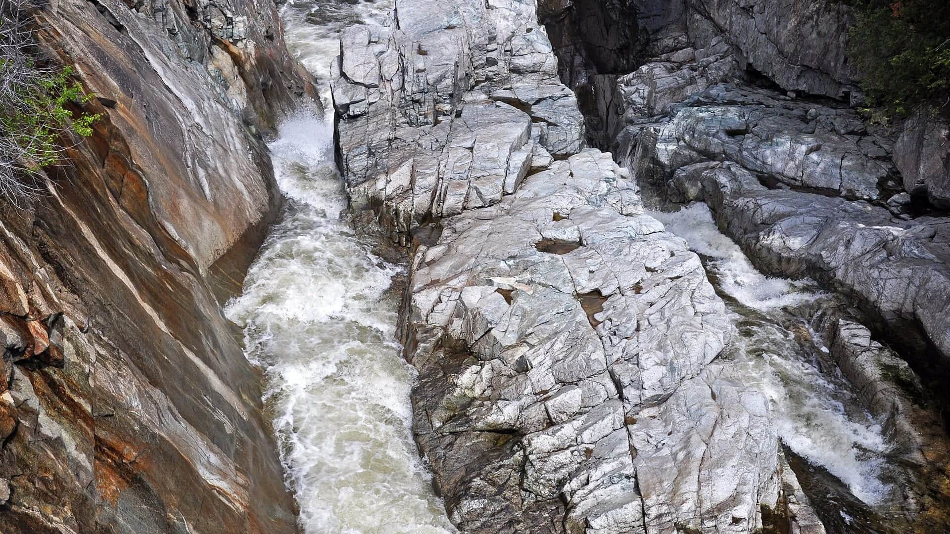
  • After rain, wait for safe flows and enough visibility before entering the gorge.
Why this score moved
FlowLowers score

USGS shows 12 cfs with a stable over about 6 hours trend. same-date USGS history (2018-2025, 8 readings) puts normal around 10 cfs and the high-water marker near 0 cfs; today's flow is above that high-water marker. Treat this as high-water fishing: wading, clarity, crossings, and boat control need a conservative check.

Best mode nowLowers score

Bank / edge: Bank and edge fishing is the safer default when water is high, pushy, or not fully verified.

HeatUse caution

The NWS forecast is near 84F. Fish early and verify water temperature where trout stress is possible.

Public alertUse caution

A heat alert is active near this forecast point, so the score is capped until water temperature and fish-handling risk are checked. NWS alert: Heat Advisory issued July 13 at 1:12PM EDT until July 14 at 8:00PM EDT by NWS Buffalo NY.

SeasonHelps score

Summer: Smallmouth and warmwater flies can be a better fit than trout or steelhead.

Read the water

What changes the plan.

Best windows come after rain or snowmelt bumps that bring fish in and then drop into safe, fishable clarity. If it is low and clear, use smaller flies, longer leaders, and more walking.

01

Fresh bump

Fish eggs, stones, and streamers as fish move into pools and runs.

02

Dropping clear

Use smaller natural flies and avoid crowding visible fish.

03

High or dirty

Wait for safer flows and better visibility before wading.

04

Winter cold

Fish slow pools carefully and watch for ice shelves.

Field plan

Fish it with intention.

Best flows

Use RiverReports and USGS 04213319 below Westfield together. Dropping water with improving visibility is the cleanest steelhead window; sharp rises, brown water, shelf ice, or pushy shale runs should move the plan later.

When to skip

Skip or pivot when storms have the creek rising, visibility is poor, ice makes footing unsafe, public fishing rights are unclear for the reach, or current Great Lakes tributary rules have not been confirmed.

Local plan

Start with the Westfield gauge and the DEC public fishing rights map. Pick one legal access zone, watch clarity, and fish softer seams, tailouts, and travel lanes before moving to a backup tributary.

Backup water

If Chautauqua Creek is blown out, crowded, icy, or too stained, compare Cattaraugus Creek for a larger Lake Erie tributary, the West Branch Ausable for Adirondack trout, or Esopus Creek for a Catskill mountain-water plan.

Hatches & flies

Bring a flexible box.

TimingWhat to watchUseful flies
01

Check the gauge and walk enough water to find fresh fish instead of crowding one pool.

02

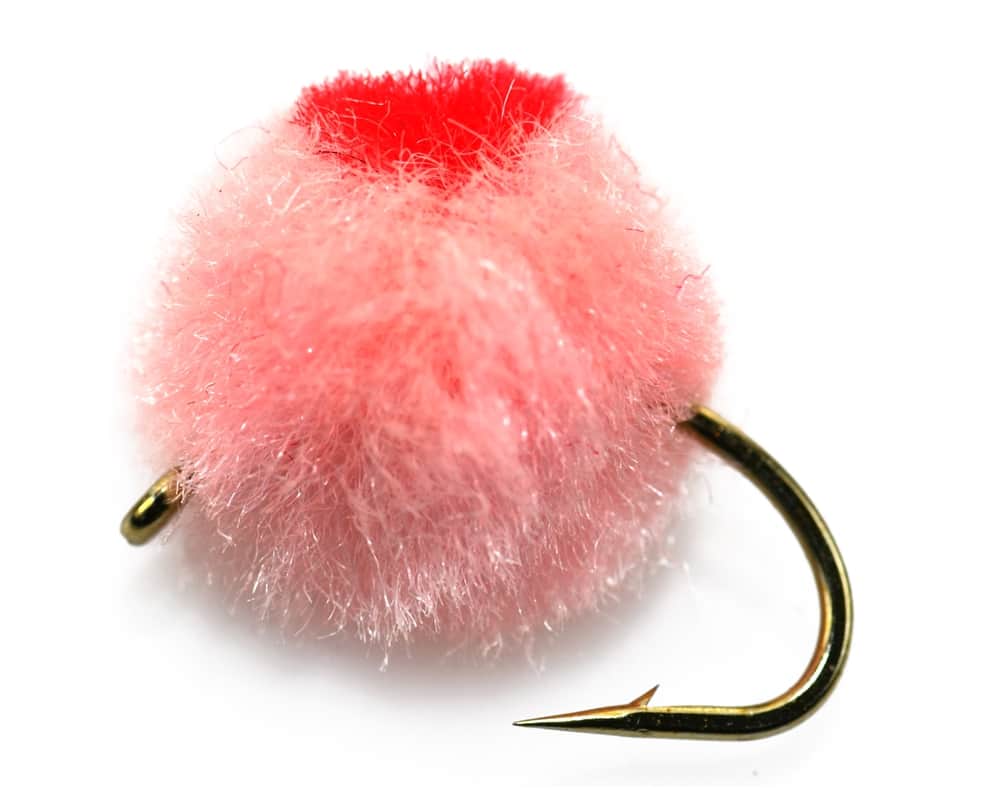
Dead-drift small eggs, stoneflies, and nymphs in low clear water.

03

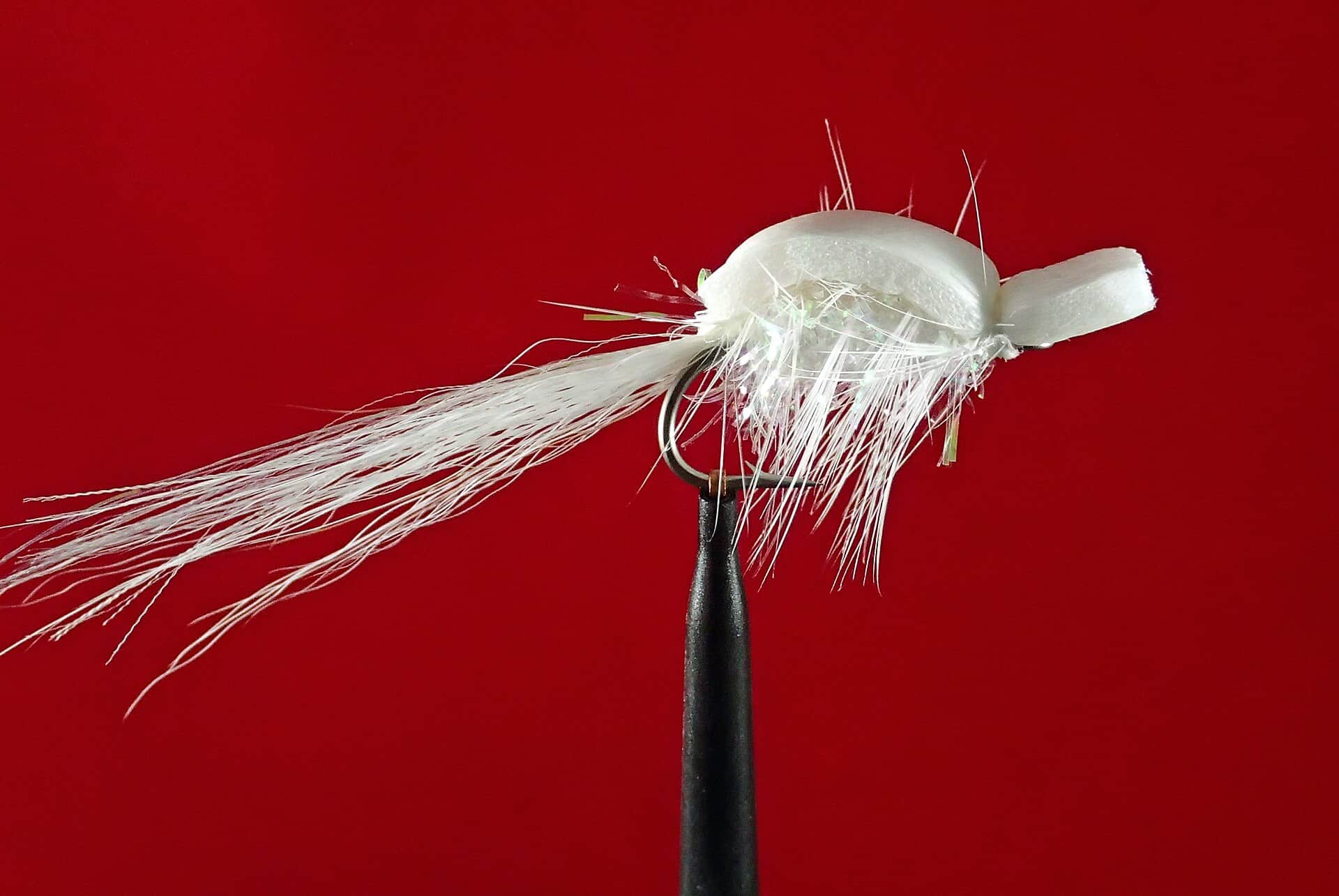
Use streamers when the creek has color and fish are moving.

04

Respect the catch-and-release section and use artificial lures where required.

05

Keep wades short in the gorge and avoid undercut banks after rain.

Access & responsibility

Know the entry. Know the exit.

NYSDEC Lake Erie tributary regulations apply, and Chautauqua Creek includes a named catch-and-release/artificial-lures section. Confirm current rules and boundaries before fishing.

01

South Gale Street area

Important boundary context for the special catch-and-release reach.

02

Westfield public fishing rights

Use DEC maps and signs to stay in legal access.

03

Lower creek and mouth context

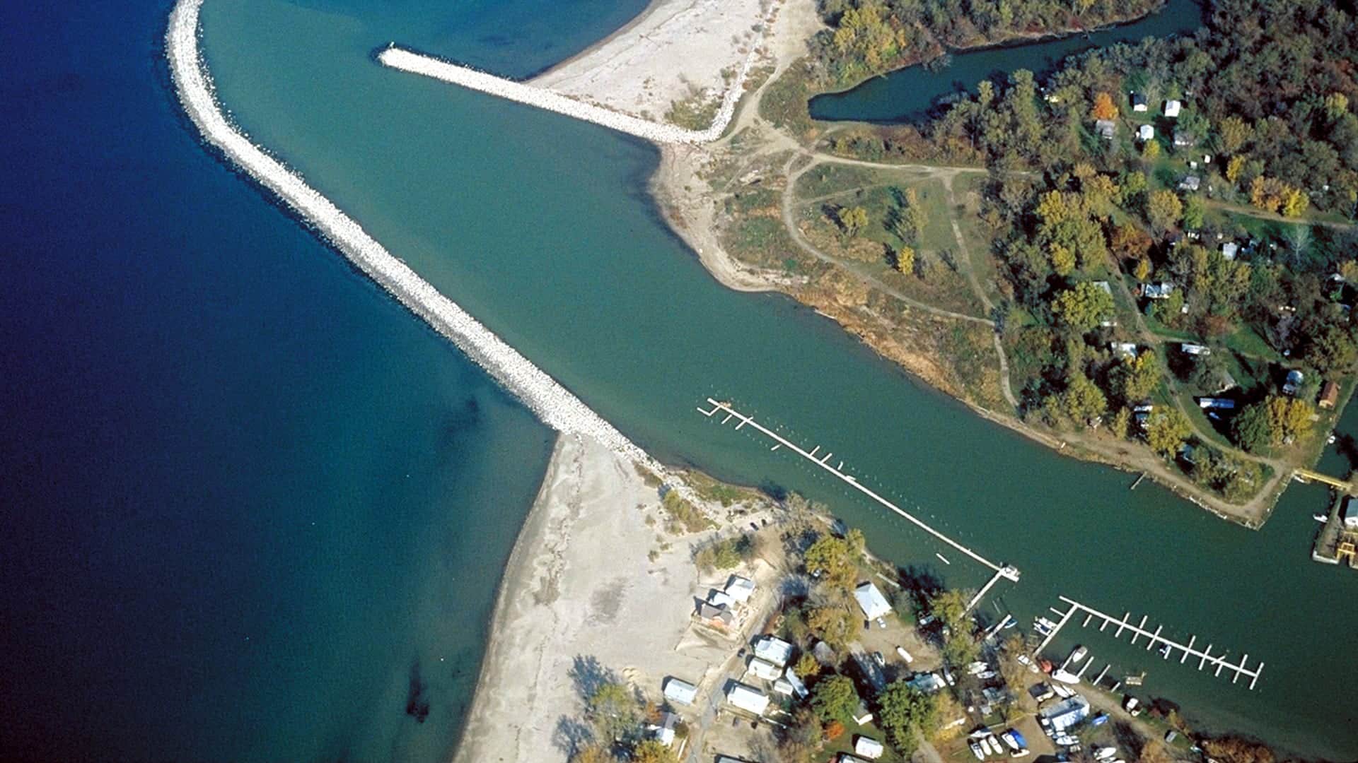
Useful for fish movement, but private land and conditions matter.

Transparent sources

Check the facts behind the plan.

Last material review: 2026-05-31

Common questions

Before you leave.

What should I check first before fishing Chautauqua Creek?+

Check the Westfield gauge, recent precipitation, water clarity, Lake Erie tributary rules, and the catch-and-release reach boundary.

Are there special regulations on Chautauqua Creek?+

Yes. The creek has Lake Erie tributary rules and a named catch-and-release/artificial-only section.

What flies should I bring for Chautauqua Creek?+

Bring the hatch-chart flies, a small nymph box, and a few streamers. Then adjust for water temperature, clarity, pressure, and the insects or baitfish you actually see.

Can I wade Chautauqua Creek?+

Sometimes, but smaller creek flows, gorge access, and ice can change safety quickly.

When should I skip Chautauqua Creek?+

Skip it when flows are unsafe, water is too warm for trout, emergency closures are active, or legal access for the reach is not clear.