Wade · Best fit96/100
Wading is in play only where your chosen access has clear footing, legal entry, and no forced crossings.
Fly fishing report · Midwest
A Kalamazoo River report for southwest Michigan smallmouth, Comstock flows, access planning, water-quality cautions, flies, weather, and safety.
Check flow & weatherCurrent USGS flow is 541 cfs and has been stable for about 6 hours. Today's flow is within the normal seasonal range of 425 cfs to 719 cfs. Weather, water temperature, and access are the next checks.
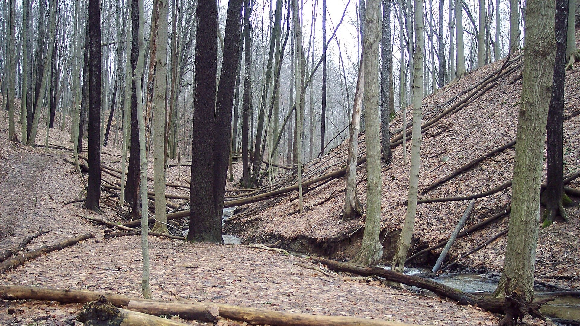
Compare wading, bank fishing, and floating before choosing how you will fish.
Wading is in play only where your chosen access has clear footing, legal entry, and no forced crossings.
Bank and edge fishing remains a practical low-commitment option if access is legal and footing is safe.
This report does not describe this as a primary mode. Verify legal access, depth, launches, and retreat options before planning around it.
Check before you drive
Look at whether the river is rising or falling, then check wind, rain, and storms. These can change both safety and fishing.
Before you rely on this report
Conditions can change quickly. Check these dates before you decide to fish, and open the official source when safety or rules matter.
High confidence in the current score inputs.
6 sources are listed below for you to open.
3 public access records are listed. Private spots are never shown.
Source checked Jul 30, 2026
Plan your access
These are public parking, launch, trail, or recreation areas—not secret fishing spots. We never show an angler's private pins, notes, or photos here.
Area description
Best current-flow context for this page.
Public access is not continuous. Use county, city, state, or water-trail access information before launching or parking.
Dams, logjams, and industrial history make route planning more important than on a small trout stream.
Trailhead
Useful for scouting public sections and nonmotorized access.
Public access is not continuous. Use county, city, state, or water-trail access information before launching or parking.
Dams, logjams, and industrial history make route planning more important than on a small trout stream.
Trailhead
Helpful for paddle-based access and route planning.
Public access is not continuous. Use county, city, state, or water-trail access information before launching or parking.
Dams, logjams, and industrial history make route planning more important than on a small trout stream.
How to fish it
The Kalamazoo River can be a useful smallmouth and warmwater fly-fishing river, but it needs a different page than a trout stream. Start with the Comstock gauge, then check access, storms, and consumption guidance.
USGS shows 541 cfs with a stable over about 6 hours trend. Today's flow is within the normal seasonal range of 425 cfs to 719 cfs. Weather, water temperature, and access are the next checks.
Summer: Topwater, crayfish, and wet-wading windows can be good when flows are safe.
The NWS forecast is about 72F with Partly Cloudy.
No active NWS alert was returned for this forecast point.
Skip wading when storm runoff is fresh, flow is high or dirty, the put-in or take-out is unclear, dams or logjams make the route unsafe, or consumption guidance changes the reason for the trip.
Read the water
The best fly windows happen when flows are stable enough to read banks and current breaks. If the river is high, dirty, or recently hit by storms, wait for safer clarity or fish protected park water.
Fish poppers, crayfish, and baitfish patterns along banks and current seams.
Use larger streamers near banks or wait if wading is unsafe.
Sight fish softer edges and downsize crayfish or baitfish flies.
Avoid contact if storm runoff is a concern and check access before launching.
Your trip plan
Use USGS 04106000 at Comstock as the main flow check. Stable water is best for reading banks, bridge shade, rock, and wood; high or dirty water should move the plan to safer edges, a boat-only approach, or another day.
Skip wading when storm runoff is fresh, flow is high or dirty, the put-in or take-out is unclear, dams or logjams make the route unsafe, or consumption guidance changes the reason for the trip.
Choose a Comstock-area flow read first, then decide whether the day is a short trail scout, a water-trail paddle, or a focused smallmouth session around bridges, outside bends, wood, and rocky current.
If the Kalamazoo is high, muddy, or questionable after storms, compare the Huron River for another park-access warmwater plan, the Raisin River for southeast Michigan warmwater fishing, or the Muskegon for a larger west-side river after checking current rules.
Hatches & flies
 Fly pattern · report suggests “Small Clouser”Clouser Deep MinnowThe reviewed chartreuse-and-white form uses sparse layered bucktail with flash around lead barbell eyes. The eyes make the fly sink between strips and ride hook point up; color, eye weight, hook, and saltwater materials must remain labeled.See photos & how to fish it ↗
 Fly family · report suggests “crayfish”Crayfish and Crawfish PatternsCrayfish patterns differ in claw size, eye placement, shell profile, leg motion, weighting, hook orientation, and snag resistance. Rust, brown, olive, tan, and pale molting colors remain labeled choices rather than aliases for one recipe.See family guide ↗+ 2 more reviewed guides in the Fly Box
  Fly family · report suggests “Popper”Bass and Panfish Popper PatternsPoppers may use cupped foam, cork, balsa, deer hair, or pencil-shaped heads. Head face, size, buoyancy, tail, legs, and weed guard determine sound and action; a generic popper label does not identify one fly.See family guide ↗
 Fly family · report suggests “slider”Warmwater Slider and Diver PatternsA slider has a tapered, flat, or softly shaped head that glides or pushes a small wake with limited noise. A diver has an angled, collared, folded, or otherwise shaped head that pulls below the surface when stripped and rises on the pause. Frog, baitfish, and large-insect profiles can be tied on either idea, so the exact head action, buoyancy, hook orientation, weed guard, and material must stay named.See family guide ↗+ 3 more reviewed guides in the Fly Box Fly pattern · report suggests “Clouser”Clouser Deep MinnowThe reviewed chartreuse-and-white form uses sparse layered bucktail with flash around lead barbell eyes. The eyes make the fly sink between strips and ride hook point up; color, eye weight, hook, and saltwater materials must remain labeled.See photos & how to fish it ↗Fly family · report suggests “crayfish”Crayfish and Crawfish PatternsCrayfish patterns differ in claw size, eye placement, shell profile, leg motion, weighting, hook orientation, and snag resistance. Rust, brown, olive, tan, and pale molting colors remain labeled choices rather than aliases for one recipe.See family guide ↗+ 3 more reviewed guides in the Fly Box
  Fly family · report suggests “Slow streamer”Trout Streamer PatternsStreamer is a method-and-silhouette family, not a recipe. Size, color, weight, and presentation phrases stay visible, while baitfish, leech, sculpin, Woolly Bugger, and articulated identities link to their more specific destinations when known.See family guide ↗
 Fly family · report suggests “leech”Leech PatternsLeech patterns share an elongated moving silhouette, but material, weighting, hook orientation, and retrieve vary. Pine-squirrel, rabbit-strip, balanced, and Woolly Bugger forms remain separately labeled rather than being presented as one recipe.See family guide ↗+ 2 more reviewed guides in the Fly Box
 Fish bridge shade, outside bends, downed wood, and rocky banks first.
Start with crayfish or baitfish patterns before switching to topwater.
Use kayak or trail access to cover water, but check launches and portage risks.
Treat fish-consumption guidance as part of the fishing plan, not an afterthought.
Avoid wading unknown soft-bottom or debris-heavy reaches alone.
Rules & closures
Open the agency page to confirm the exact river section, species, season, tackle rules, limits, and emergency closures.
Official links checkedWe checked the state source but did not find a clearly supported exception for this river. Check the official rules for the exact section you plan to fish.
This summary helps with trip planning. The linked agency rule is the one you must follow.
Updates from anglers
Recent observations from general areas of Kalamazoo River. We review every update before it appears and never publish exact fishing spots, private access details, or photo locations.
You can still use the river plan above. Check back later for recent observations from other anglers.
Where this report comes from
Fishing guidance checked: May 31, 2026
Site check: Jul 14, 2026. We regularly test report links, live scores, flow and weather data, and page loading. The content date changes only when the fishing guidance or its sources change.
Common questions
Check the Comstock flow, recent rain, water-trail access, and Michigan Eat Safe Fish guidance.
Statewide Michigan rules apply, but consumption guidance and local access restrictions are just as important.
Yes, but only if you match the reach, season, water temperature, and target species. This page separates trout, migratory, and warmwater plans where that matters.
Bring the hatch-chart flies, a few confidence nymphs, and a backup streamer or warmwater box so you can adjust to flow, clarity, and temperature.
Access is spread across parks, trails, bridges, and water-trail sites. Plan the exact put-in or bank before driving.