7-day U.S. Geological Survey chart
Recent flow
Gauge height
1.66 ft1.36 ft
Oct 15Oct 22
Latest reading: 1.37 ft. Stable over about 6 hours. Chart covers Oct 15 through Oct 22; readings are provisional and may be revised.
Best option: Floating. A float is in play where this report supports boat access and wind, releases, and shuttle logistics are manageable.
Rating updatedRiver local time:
An active public alert is in effect near this forecast point, so the score is capped at caution until conditions are checked. NWS alert: Gale Warning issued October 22 at 2:16PM EDT until October 23 at 2:00PM EDT by NWS Boston/Norton MA.
NWS air forecast near
This is an air forecast, not a river-temperature reading. Check the water with a stream thermometer before fishing in hot weather.
Gauge height
Latest reading: 1.37 ft. Stable over about 6 hours. Chart covers Oct 15 through Oct 22; readings are provisional and may be revised.
Mostly Sunny
The National Weather Service forecast is temporarily unavailable.
Current U.S. Geological Survey gauge: Essex River at Conomo Point gage height
Seasonal starting points, not a live hatch report. Match what you see on the water.
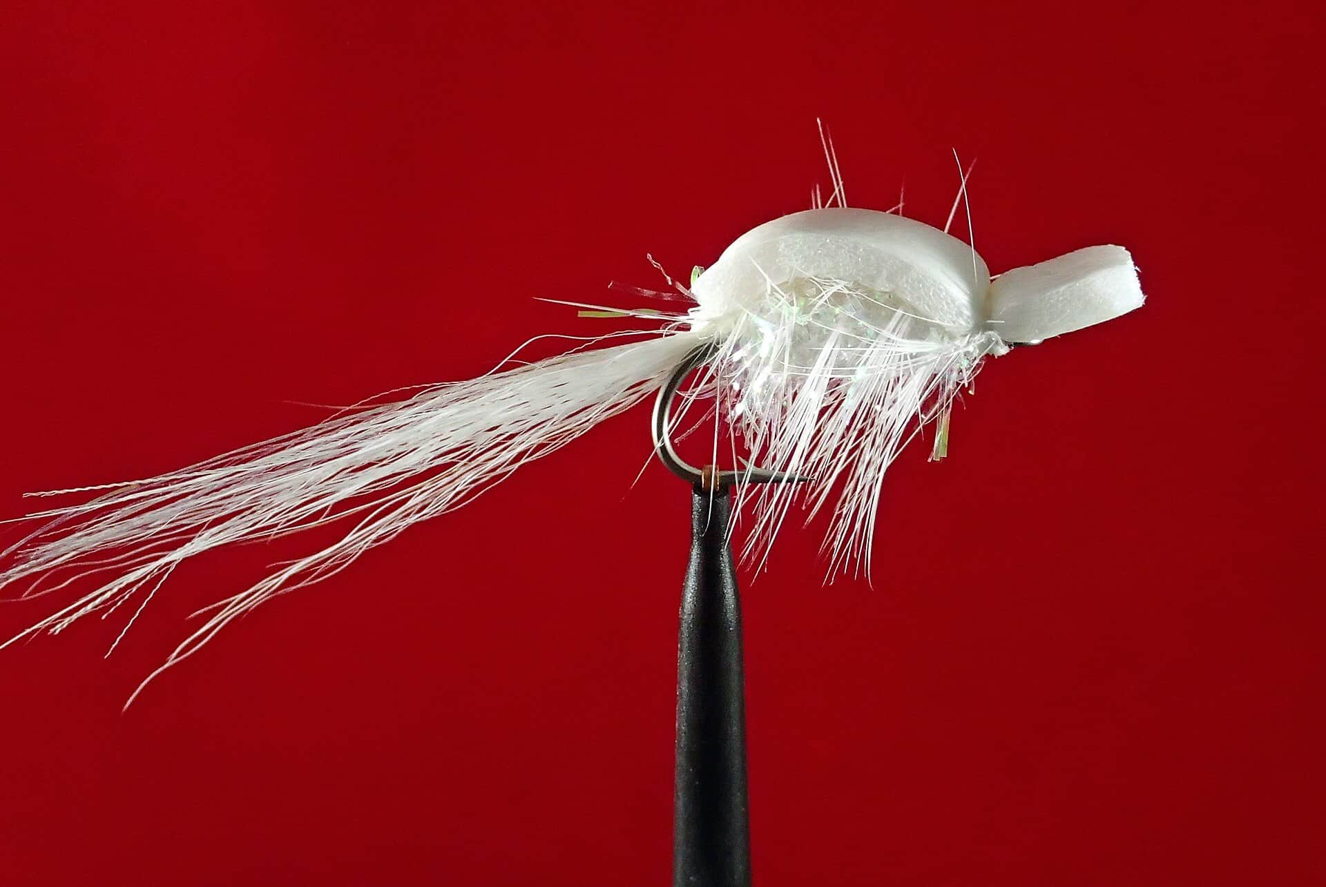
Also try flatwing, sand eel, small crab
Also try Flatwing, sand eel
Try Use the season to scout access, tides, channels, and parking.
Each fly name opens its matching Fly Box guide.
The Essex fishes best when the tide is moving, bait is present, and wind allows clean casts and safe small-craft handling. If wind fights the tide or fog cuts visibility, wait or fish from protected banks.
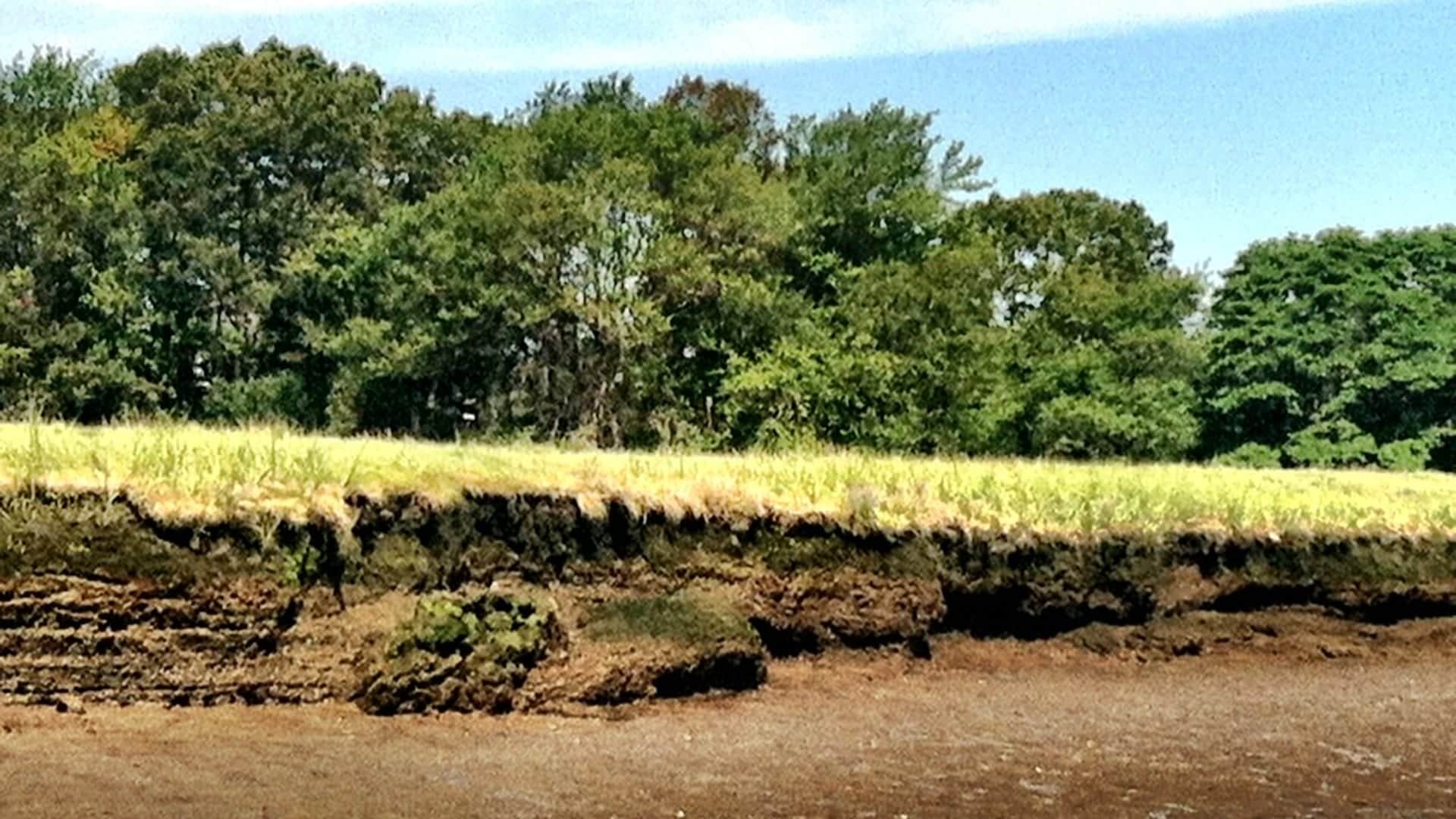
Fish flats, marsh edges, and channels as bait pushes into reach.
Focus on drains, creek mouths, and current seams where bait is swept out.
Scout bars, channels, mud, and walking routes, but avoid getting stuck in soft marsh.
Use protected banks or skip kayak plans when wind and tide create unsafe water.
These scores compare the risks of wading, bank fishing, and floating.
This report does not recommend wading on this reach.
This report does not recommend bank fishing on this reach.
A float is in play where this report supports boat access and wind, releases, and shuttle logistics are manageable.
Is Essex River worth the trip today? Check flow, weather, hatches, access, and rules for Massachusetts before you go.
The Essex River is a salt marsh and estuary fly-fishing plan. It should be read through tide stage, wind, bait, and access rules, not a trout-style CFS number alone.
An active public alert is in effect near this forecast point, so the score is capped at caution until conditions are checked. NWS alert: Gale Warning issued October 22 at 2:16PM EDT until October 23 at 2:00PM EDT by NWS Boston/Norton MA.
Float: A float is in play where this report supports boat access and wind, releases, and shuttle logistics are manageable.
USGS shows 131 cfs. The flow has been stable over about 6 hours. USGS marks this reading provisional and may revise it. USGS records for this date (1932-2026, 95 readings) show a typical middle range of 57 cfs to 207 cfs. Flow is within the typical range for this date, so weather, temperature, and access become the next checks.
Fall: Outgoing tides and bait schools can create the strongest feeds.
The current NWS air forecast is about 59F. Mostly Sunny.
Use the USGS gage-height page, NOAA tide station, and NOAA tide predictions together. The useful fishing window is moving water around bait and drains, not a single trout-style CFS number.
Skip kayak or skiff plans when wind opposes tide, fog cuts visibility, storms are building, trailer parking is not legal, or a low-tide walk would trap you in soft marsh mud.
Pick one incoming and one outgoing tide window, confirm Massachusetts saltwater rules, check Essex launch limits, then fish protected drains, channel edges, or marsh banks that fit the wind.
If wind, tide, or launch rules make Essex weak, compare the Kennebec River Estuary for another tidewater striper plan or switch inland to Millers River or the Farmington.
Use these places as starting points. Open the access link below and check posted signs before you park or enter.
Massachusetts recreational saltwater fishing rules control striped bass and other saltwater species. Check the current rule before fishing or keeping fish.
Useful, but trailered launch and parking rules can be resident or sticker limited.
Best fished with tide planning, careful footing, and respect for private shoreline.
Helpful for stage/tide reference and lower-estuary planning.
Official agencies and primary river operators come first. Secondary tools are labeled so you know what carries the most weight.
Check what is allowed, where the rule applies, and whether the river is open.
Check the latest river reading and forecast before you leave.
Check public entry points, land rules, and seasonal access changes.
Check what is allowed, where the rule applies, and whether the river is open.
Open the current rules and check the river section, season, and special limits.
Check the latest river reading and forecast before you leave.
Open this page and check the latest safety advice before your trip.
Open this river reading to check the latest level, flow, and update time.
Open this river reading to check the latest level, flow, and update time.
Open this river reading to check the latest level, flow, and update time.
Check public entry points, land rules, and seasonal access changes.
Open the land or access page, then check signs before you park or enter.
Open the land or access page, then check signs before you park or enter.
What was checked: This report is maintained from current regulation, access, flow, weather, and public planning sources so anglers can make better trip decisions than a raw gauge or generic overview would allow.
Live measurements and forecasts keep their provider timestamps. Rules, access, and trip guidance use the source-review date shown here. BlueStreamFly planning advice is editorial interpretation, not an agency notice.
First-hand experience: BlueStreamFly does not claim a first-hand visit or local field test for this report unless a real contributor is explicitly named and linked.
Check tide, wind, launch rules, marine weather, and current Massachusetts saltwater rules first.
Yes. Saltwater species rules, especially striped bass rules, change and should be verified before fishing.
Access can be good, but some launches and parking are resident-limited or tide-dependent.
Bring the hatch chart flies, a few confidence nymphs or baitfish patterns, and a backup selection for high, low, clear, stained, cold, or warm conditions.