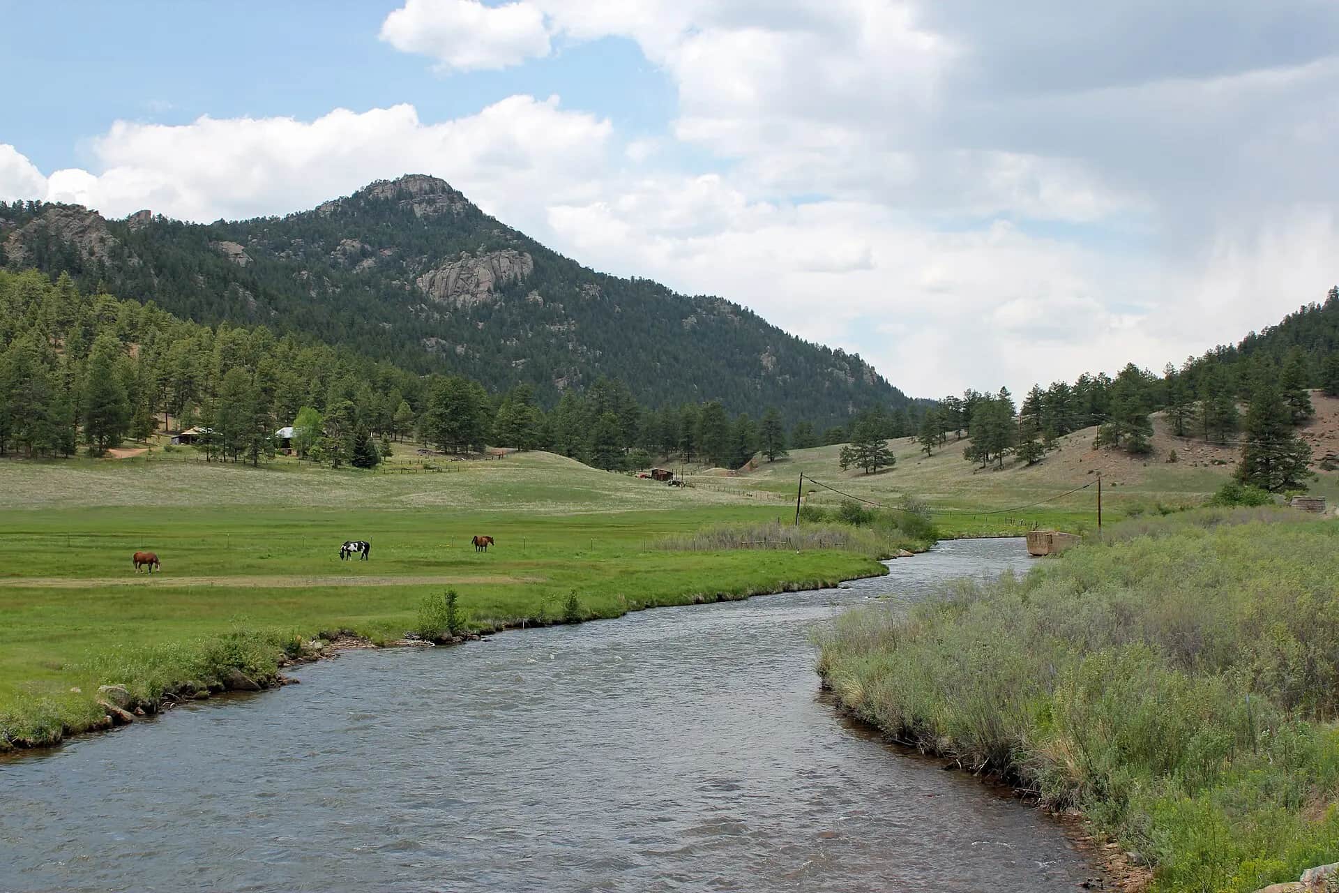
RiverReports preview · current series loading
Recent flow
RiverReports gauge
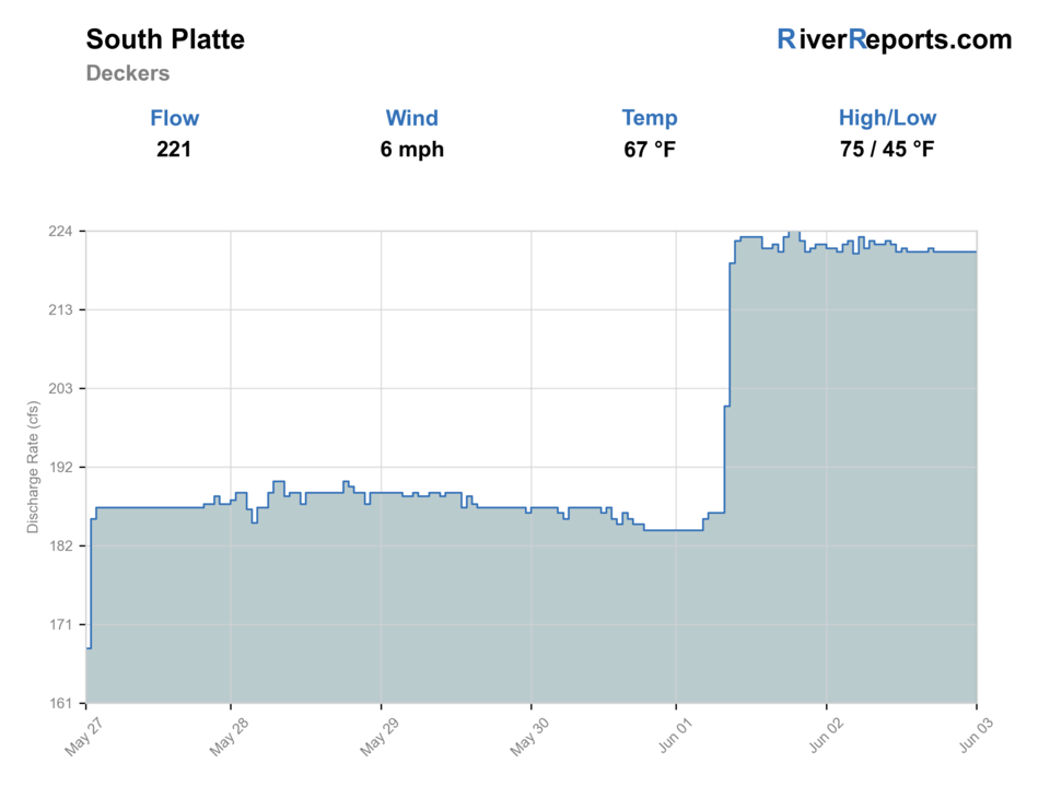
Showing the available RiverReports chart while the current structured flow series loads. Check the chart on RiverReports Opens in a new tab.
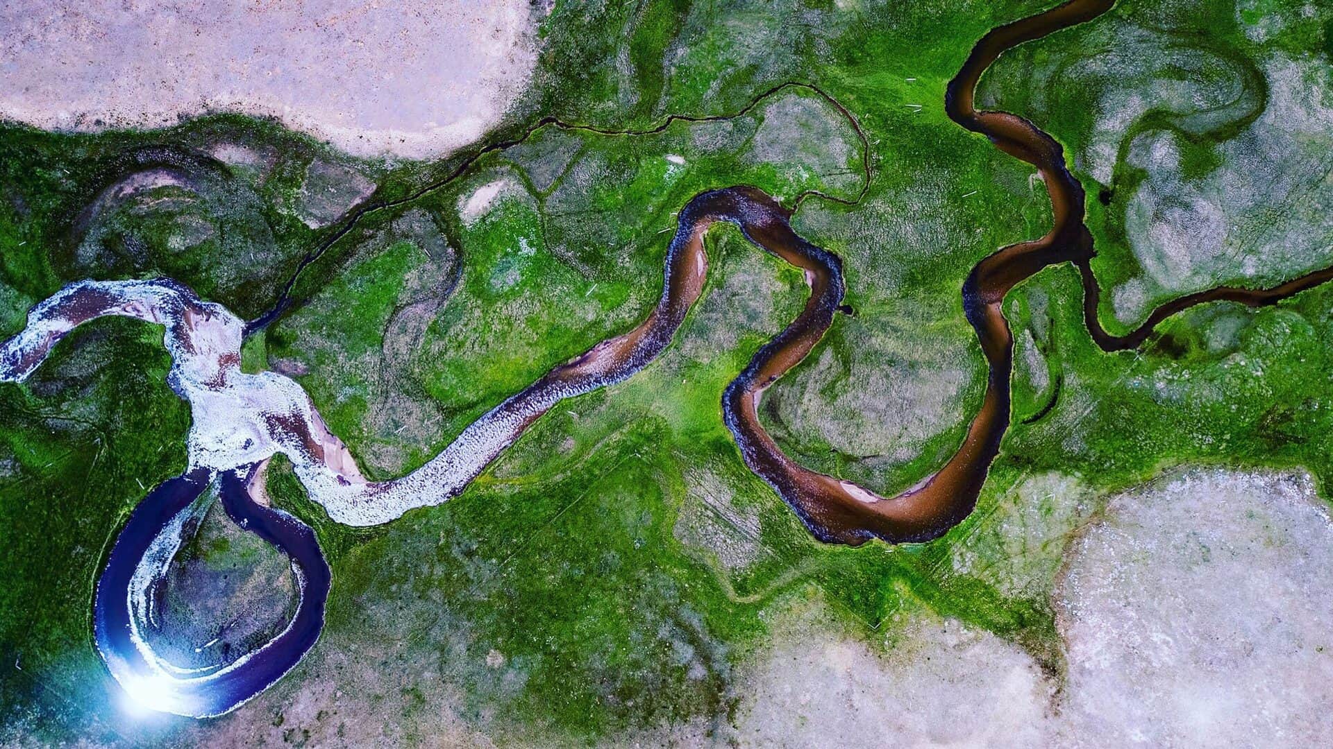
Photo: Thomas Elliott from Alma, USA Opens in a new tab. · CC0
No single best way to fish. Wading and Bank fishing have the same top score. Use current access, footing, weather, and local rules to choose.
Rating updatedRiver local time:
USGS shows 59 cfs. The flow has been stable over about 6 hours. USGS marks this reading provisional and may revise it. USGS records for this date (2003-2026, 24 readings) show a median near 107 cfs and a low-water marker near 64 cfs; today's flow is unusually low for the date. Low water can make fish spooky, warm, pressured, or concentrated; check temperature and handling risk.
NWS air forecast near
This is an air forecast, not a river-temperature reading. Check the water with a stream thermometer before fishing in hot weather.
RiverReports gauge
Showing the available RiverReports chart while the current structured flow series loads. Check the chart on RiverReports Opens in a new tab.
Mostly Cloudy
The National Weather Service forecast is temporarily unavailable.
RiverReports gauge: South Platte River at Deckers
Seasonal starting points, not a live hatch report. Match what you see on the water.
Also try black beauty, top secret midge
Also try juju baetis, mercury midge
Each fly name opens its matching Fly Box guide.
The South Platte around Deckers fishes best when flows are stable, clarity is good, and you are willing to fish precisely. Small nymphs and careful dry-fly drifts often beat broad searching.
Use 5X to 7X, small flies, long leaders, and very careful wading.
Nymph riffles, slots, and tailouts. Watch for short dry-fly windows.
Fish soft banks and avoid unsafe crossings. Stain can make streamers and larger nymphs useful.
Fish early, give other anglers room, and move rather than camping on pressured fish.
Wading and Bank fishing have the same top score. Use current access, footing, weather, and local rules to choose.
Wading is in play only where your chosen access has clear footing, legal entry, and no forced crossings.
Bank and edge fishing remains a practical low-commitment option if access is legal and footing is safe.
This report does not recommend floating this reach.
Is South Platte River worth the trip today? Check flow, weather, hatches, access, and rules for Colorado before you go.
The South Platte name covers many different fisheries. This report focuses on the Deckers, Cheesman, and South Platte area plan, while Eleven Mile Canyon and the forks have their own pages.
USGS shows 59 cfs. The flow has been stable over about 6 hours. USGS marks this reading provisional and may revise it. USGS records for this date (2003-2026, 24 readings) show a median near 107 cfs and a low-water marker near 64 cfs; today's flow is unusually low for the date. Low water can make fish spooky, warm, pressured, or concentrated; check temperature and handling risk.
Wade: Wading is in play only where your chosen access has clear footing, legal entry, and no forced crossings.
Fall: BWOs, midges, lower crowds, and streamers can make strong fishing windows.
The current NWS air forecast is about 53F, and the next 24-hour high reaches about 69F. Mostly Cloudy.
No active NWS alert was returned for this forecast point.
Use the Deckers trend as the anchor. Stable releases are the cleanest signal for classic technical nymphing and short dry-fly windows. A storm bump or larger push should move you to softer banks, streamer water, or another branch with more room.
Skip the Deckers and Cheesman plan when parking and crowding leave no clean water, when wildfire or area restrictions change access, when section rules are unclear, or when higher flows remove safe wading in the water you intended to fish.
Decide whether the day is Cheesman canyon water, the easier Deckers area, or a backup branch before you rig. That choice determines hiking load, fly size, parking strategy, and how much crowd tolerance you need.
If Deckers and Cheesman are too crowded or pushy, pivot to Eleven Mile Canyon for another technical tailwater day or to the North Fork or Middle Fork only after checking those separate pages for their own access and rule differences.
Use these places as starting points. Open the access link below and check posted signs before you park or enter.
Check current Colorado special fishing rules for the exact South Platte segment before fishing. Cheesman, Deckers, Eleven Mile, and the forks do not all share one simple rule.
Denver Water identifies Gold Medal water, designated parking, and public access constraints.
Popular USFS and Denver Water area access with heavy pressure and private-property edges.
Useful planning area where rule boundaries and posted access need close attention.
Official agencies and primary river operators come first. Secondary tools are labeled so you know what carries the most weight.
Check what is allowed, where the rule applies, and whether the river is open.
Check the latest river reading and forecast before you leave.
Check public entry points, land rules, and seasonal access changes.
Check what is allowed, where the rule applies, and whether the river is open.
Open the current rules and check the river section, season, and special limits.
Check the latest river reading and forecast before you leave.
Open this page and check the latest safety advice before your trip.
Open this river reading to check the latest level, flow, and update time.
Open this river reading to check the latest level, flow, and update time.
Check public entry points, land rules, and seasonal access changes.
Open the land or access page, then check signs before you park or enter.
Open the land or access page, then check signs before you park or enter.
What was checked: This report starts with official regulation, access, flow, weather, and public-river sources, then adds practical planning guidance for anglers.
Live measurements and forecasts keep their provider timestamps. Rules, access, and trip guidance use the source-review date shown here. BlueStreamFly planning advice is editorial interpretation, not an agency notice.
First-hand experience: BlueStreamFly does not claim a first-hand visit or local field test for this report unless a real contributor is explicitly named and linked.
It focuses on the Deckers and Cheesman area. Eleven Mile Canyon, the North Fork, and the Middle Fork have separate pages.
Use RiverReports and USGS 06701900 for the Deckers-area flow reference.
Clear water, heavy pressure, small insects, and selective trout make drift quality and approach very important.
Bring midges, RS2s, BWOs, PMDs, tricos, caddis, small terrestrials, and a few small streamers.