RiverReports preview · current series loading
Recent flow
RiverReports gauge
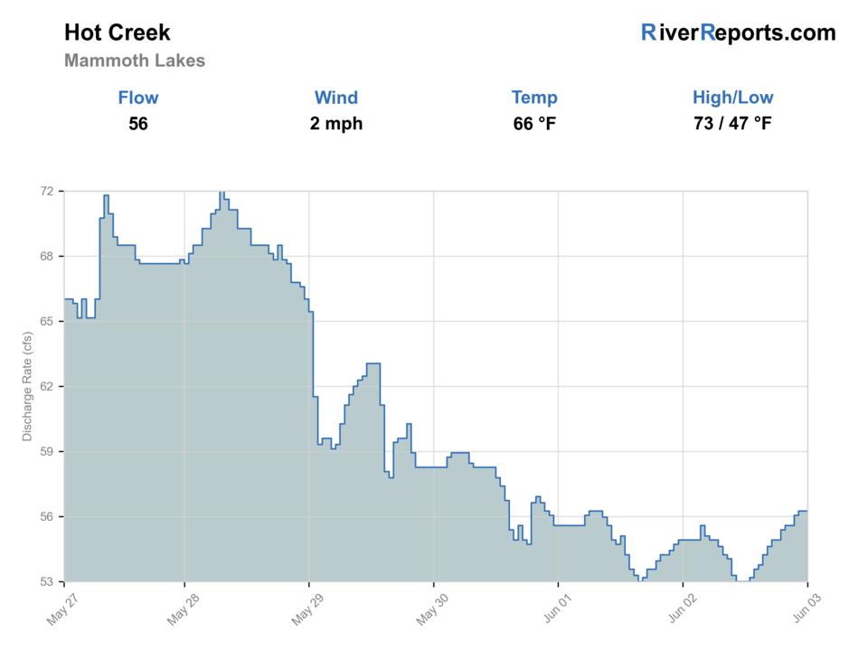
Showing the available RiverReports chart while the current structured flow series loads. Check the chart on RiverReports Opens in a new tab.
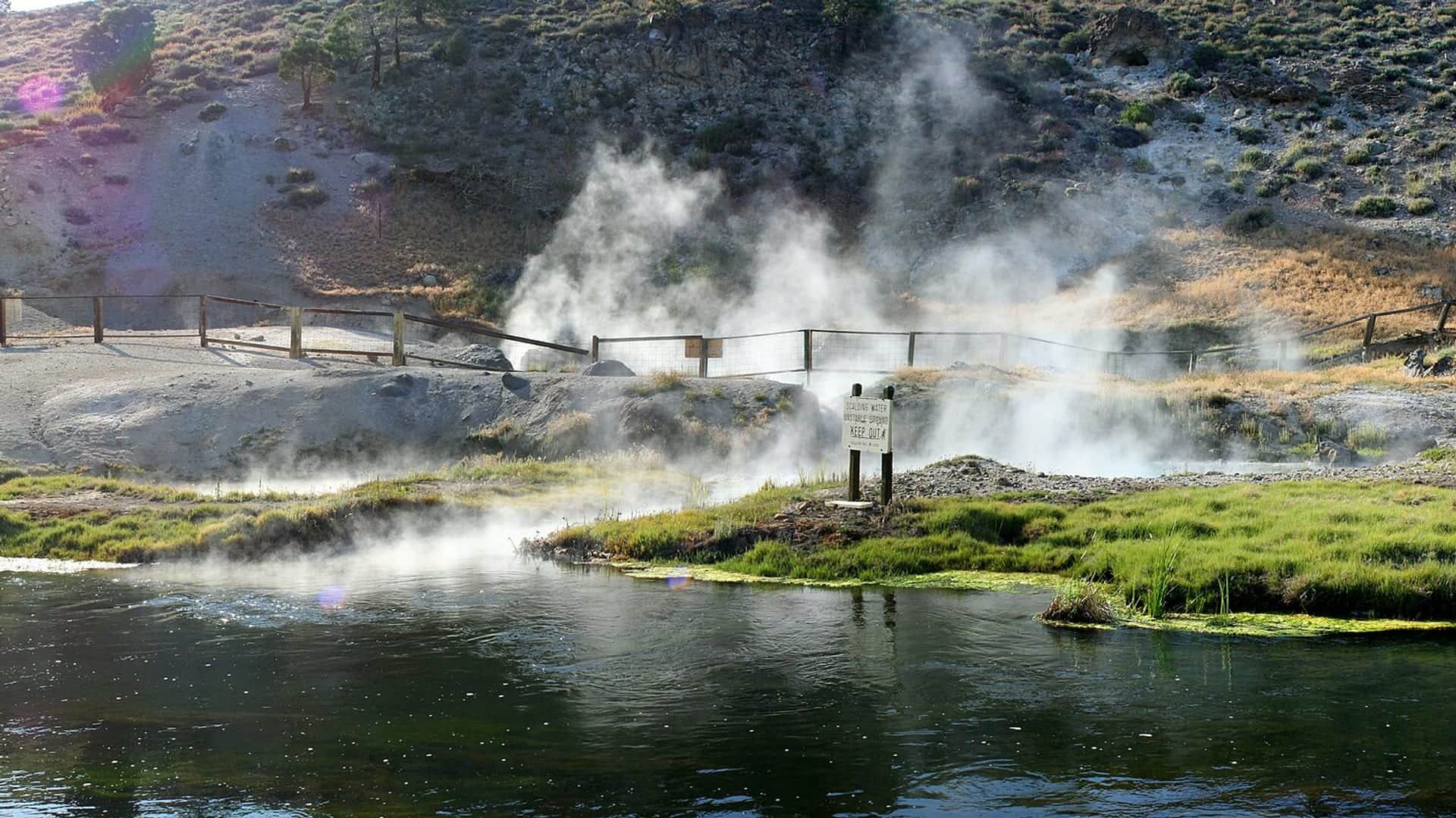
No access method is recommended today. Review the live conditions below before choosing another river or day.
Rating updatedRiver local time:
USGS water temperature is about 92.3F. USGS marks the temperature data provisional and may revise it. Do not pressure trout or salmonids in warm water.
Water temperature above salmonid stress threshold
NWS air forecast near
RiverReports gauge
Showing the available RiverReports chart while the current structured flow series loads. Check the chart on RiverReports Opens in a new tab.
Slight Chance T-storms
The National Weather Service forecast is temporarily unavailable.
RiverReports gauge: Hot Creek at Flume near Mammoth Lakes
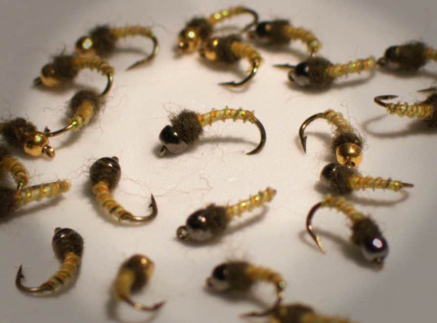
Seasonal starting points, not a live hatch report. Match what you see on the water.
Also try scud
Also try Trico spinner
Each fly name opens its matching Fly Box guide.
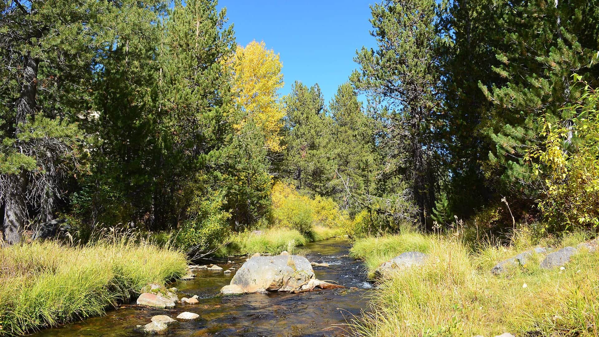
Hot Creek is most useful when you slow down. The best plan is a legal access point, a current flow check, a light presentation, and a willingness to watch feeding fish before casting.
Use long leaders, tiny flies, and clean downstream or across-stream drifts.
Target lanes, edges, and sighted fish. Avoid dragging rigs through vegetation.
Use small streamers or visible nymphs only where access is safe and legal.
Do not enter closed water or closed ground. The danger is real and unrelated to fishing skill.
No access method is recommended in today's conditions. Review the live river and weather checks before making another plan.
Not recommended today. Recheck the river, weather, and access before planning another trip.
Not recommended today. Recheck the river, weather, and access before planning another trip.
Not recommended today. Recheck the river, weather, and access before planning another trip.
Is Hot Creek worth the trip today? Check flow, weather, hatches, access, and rules for California before you go.
Hot Creek is technical, clear, and famous for trout, but the geologic site has serious geothermal hazards and closure rules. Use the fishing access sections, check current rules, and keep presentations light.
USGS water temperature is about 92.3F. USGS marks the temperature data provisional and may revise it. Do not pressure trout or salmonids in warm water.
The forecast has storm or heavy-precipitation risk, so timing and access matter more than the score alone.
An active public alert is in effect near this forecast point, so the score is capped at caution until conditions are checked. NWS alert: Winter Weather Advisory issued October 22 at 1:47AM PDT until October 22 at 5:00PM PDT by NWS Reno NV.
USGS shows 38 cfs. The flow has been stable over about 6 hours. USGS marks this reading provisional and may revise it. USGS records for this date (1990-2026, 37 readings) show a typical middle range of 34 cfs to 52 cfs. Flow is within the typical range for this date, so weather, temperature, and access become the next checks.
Fall: Cooler weather brings BWOs, midges, and lighter pressure, with careful stealth still required.
Use the flume trend as a context check, not a magic number. Stable clear flow is the best signal for technical dry-fly or emerger fishing. Sudden color, weed drag, or a sharp jump in current should push the day toward fewer casts or another creek.
Skip the trip when closure boundaries near the geologic site are active in the reach you planned to fish, when wind ruins long-leader control, when snowmelt muddies the lanes, or when crowding forces you to rush drifts in a tiny public section.
Start by separating three things before you rig: the closed geologic-site area, the private ranch context, and the signed public fishing water. Once the legal access point is settled, watch one weed lane or feeding fish before deciding whether the day should be dries, emergers, or a small indicator rig.
If Hot Creek is too windy, crowded, or legally cramped, pivot to the East Walker for a bigger flow-driven tailwater day or to Hat Creek when you still want technical trout water with more room to move.
Use these places as starting points. Open the access link below and check posted signs before you park or enter.
Verify current CDFW rules and Inyo National Forest closure notices before fishing. Do not fish in closed Hot Creek Geologic Site areas, and do not enter private water without permission or a valid reservation.
Use signed public areas and confirm boundaries before fishing.
Private ranch access is not the same as public creek access. Follow reservation and property rules.
A geothermal viewing area with no-fishing and no-entry safety context in closed areas.
Can offer public fishing, but access and safety should be confirmed before committing.
Official agencies and primary river operators come first. Secondary tools are labeled so you know what carries the most weight.
Check what is allowed, where the rule applies, and whether the river is open.
Check the latest river reading and forecast before you leave.
Check public entry points, land rules, and seasonal access changes.
Use these links for stocking, safety, and other local details.
Check what is allowed, where the rule applies, and whether the river is open.
Open the current rules and check the river section, season, and special limits.
Check the latest river reading and forecast before you leave.
Open this page and check the latest safety advice before your trip.
Open this river reading to check the latest level, flow, and update time.
Open this river reading to check the latest level, flow, and update time.
Check public entry points, land rules, and seasonal access changes.
Open the land or access page, then check signs before you park or enter.
Use these links for stocking, safety, and other local details.
Open this page for more river information and check when it was last updated.
Open this page and check the latest safety advice before your trip.
What was checked: This report starts with official regulation, access, flow, weather, and public-land sources, then adds practical planning guidance for fly anglers.
Live measurements and forecasts keep their provider timestamps. Rules, access, and trip guidance use the source-review date shown here. BlueStreamFly planning advice is editorial interpretation, not an agency notice.
First-hand experience: BlueStreamFly does not claim a first-hand visit or local field test for this report unless a real contributor is explicitly named and linked.
No. Inyo National Forest lists no fishing at the geologic site. Fish only legal public sections and obey closures.
Use RiverReports and USGS 10265150 at the Hot Creek flume for current flow context.
Avoid wading when bank presentations work. The creek is small, clear, and sensitive, and some areas are closed for safety.
Bring tiny midges, BWOs, tricos, scuds, caddis, emergers, ants, beetles, and a few small leeches.