WadeNot advised
Wading is the most sensitive plan today. Use protected edges only, avoid crossings, and downgrade quickly if clarity or current feels wrong.

Fly fishing report · West
A Hood River report for mainstem and East Fork planning, with current spring Chinook and steelhead context, East Fork walk-in access, changing regulations by fork, and weather-aware go-or-no-go guidance.
Check flow & weatherCurrent USGS flow is 215 cfs and has been stable for about 6 hours. Today's flow is unusually low for this date and below the usual low-water marker near 253 cfs. Low water can make fish spooky, warm, pressured, or concentrated; check temperature and handling risk.
Compare wading, bank fishing, and floating before choosing how you will fish.
Wading is the most sensitive plan today. Use protected edges only, avoid crossings, and downgrade quickly if clarity or current feels wrong.
Bank and edge fishing is the safer default when water is high, pushy, or not fully verified.
This report does not describe this as a primary mode. Verify legal access, depth, launches, and retreat options before planning around it.
Check before you drive
Look at whether the river is rising or falling, then check wind, rain, and storms. These can change both safety and fishing.
Before you rely on this report
Conditions can change quickly. Check these dates before you decide to fish, and open the official source when safety or rules matter.
High confidence in the current score inputs.
7 sources are listed below for you to open.
3 public access records are listed. Private spots are never shown.
Source checked Jul 30, 2026
Plan your access
These are public parking, launch, trail, or recreation areas—not secret fishing spots. We never show an angler's private pins, notes, or photos here.
Trailhead
Forest Service walk-in access along the East Fork with multiple places to fish when the trail is open.
Forest Service trail access is useful on the Hood, but closures and storm damage matter more here than on a roadside tailwater.
The lower mainstem can look easy from the road while still being a poor or unsafe wading choice.
Trailhead
A Highway 35 access point near the East Fork crossing that helps keep upper-basin scouting grounded.
Forest Service trail access is useful on the Hood, but closures and storm damage matter more here than on a roadside tailwater.
The lower mainstem can look easy from the road while still being a poor or unsafe wading choice.
Walk-in / wade
The current-report water for Chinook and steelhead movement, but less of a simple walk-and-wade trout plan.
Forest Service trail access is useful on the Hood, but closures and storm damage matter more here than on a roadside tailwater.
The lower mainstem can look easy from the road while still being a poor or unsafe wading choice.
How to fish it
ODFW's current Central Zone report says spring Chinook are throughout the Hood, but the river fishes best when you match your day to the right section. The lower mainstem is a moving-water steelhead and salmon decision, while East Fork access is better for shorter trout and mixed-salmonid sessions where regulation details matter more than extra mileage.
USGS shows 215 cfs with a stable over about 6 hours trend. Today's flow is unusually low for this date and below the usual low-water marker near 253 cfs. Low water can make fish spooky, warm, pressured, or concentrated; check temperature and handling risk.
An active public alert is in effect near this forecast point, so the score is capped at caution until conditions are checked. NWS alert: Fire Weather Watch issued August 2 at 2:35PM PDT until August 4 at 10:00PM PDT by NWS Pendleton OR.
Bank / edge: Bank and edge fishing is the safer default when water is high, pushy, or not fully verified.
Summer: Best overall season for mixed steelhead and upper-basin trout plans when clarity cooperates.
USGS water temperature is about 62F, with no heat stop triggered.
Read the water
The Hood is at its best when the lower river has enough shape for moving fish and the upper river stays clear enough for precise presentations. If storm push, glacial color, or trail closures start removing options, shorten the day and fish somewhere simpler.
Best overall window for lower-river swing water and cleaner East Fork reads.
Reduces usefulness fast; fish a shorter upper-water option or change rivers.
Scale down, fish early, and treat obvious access as pressured water.
Check access before committing to East Fork walking routes because closures can change the day.
Your trip plan
Stable green flow that gives the lower river enough shape for travel water while keeping East Fork access worth the hike. Once the basin turns glacial and dirty, the value falls fast.
Skip the Hood when color is heavy, runoff is climbing, or your only good access point is closed or washed out.
Base in Hood River or Parkdale, pick either a lower mainstem check or an East Fork walk-in, and fish one clean plan instead of trying to sample every fork in one day.
The Deschutes, Crooked, or Sandy are stronger backup calls when the Hood loses clarity or access confidence.
Hatches & flies
 Fly pattern · report suggests “Zebra midge”Zebra MidgeLook for a very slim tapered thread body, evenly spaced contrasting wire rib, a small bead, and no tail or wing. The reviewed classic is black with silver wire and a silver bead. Red, olive, brown, glass-bead, jig-hook, resin-coated, or tailed forms must remain labeled variations rather than replacing the classic identity.See photos & how to fish it ↗
 Fly family · report suggests “BWO emerger”Blue-Winged Olive PatternsBWO describes a hatch group, not one fly. Nymph, emerger, dry, cripple, and spinner profiles must stay separate because they occupy different parts of the water column.See family guide ↗+ 3 more reviewed guides in the Fly Box
  Fly pattern · report suggests “Elk hair caddis”Elk Hair CaddisLook for a tented elk- or deer-hair wing, clipped hair head, dubbed body, rib, and hackle palmered along the body. The body color should be labeled because tiers often match different natural caddis colors.See photos & how to fish it ↗
 Fly family · report suggests “PMD cripple”Pale Morning Dun PatternsPMD names an insect group, not one fly. Pale nymphs, trailing-shuck emergers, upright or low-riding duns, cripples, and spent-wing spinners stay visibly separate.See family guide ↗+ 2 more reviewed guides in the Fly Box
  Fly pattern · report suggests “Green Butt Skunk”Green Butt SkunkThe green butt is the defining high-visibility section ahead of the tail; the reviewed form pairs it with a black body, silver rib, black collar, and sparse white hairwing. Red-butt and purple-hackle variations remain labeled.See photos & how to fish it ↗
 Fly pattern · report suggests “muddler”Muddler MinnowA clipped or ragged spun-deer-hair head and collar, paired mottled turkey-quill tail and wing, gray squirrel underwing, and metallic body identify the traditional Muddler Minnow. Dense heads, sparse original-style heads, cones, and bunny-wing forms must stay labeled.See photos & how to fish it ↗+ 4 more reviewed guides in the Fly Box
 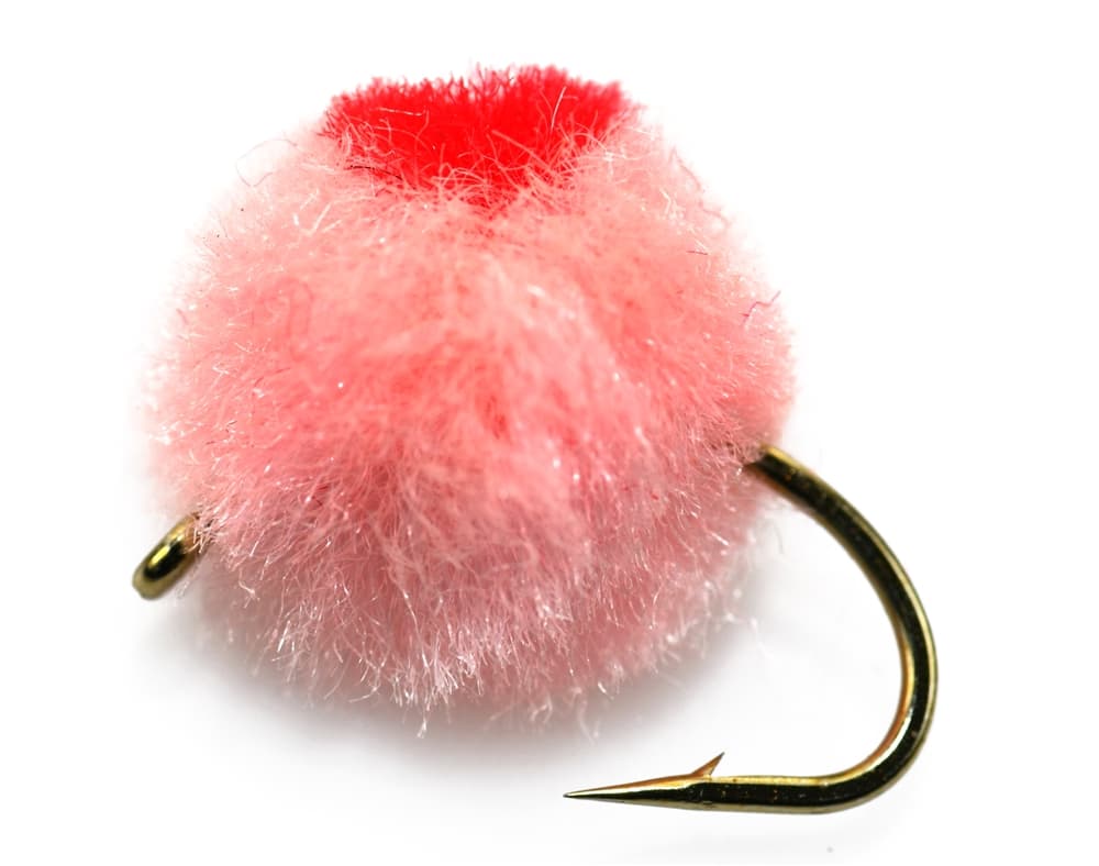 Fly family · report suggests “Egg fly”Egg Fly PatternsEgg flies are tied to the hook. Round clipped-yarn eggs, sparkly chenille eggs, veiled eggs, single eggs, and clusters differ in material and silhouette; pegged or free-sliding beads are rigs, not fly patterns.See family guide ↗
 Fly family · report suggests “black stonefly”Black Stonefly PatternsBlack stonefly wording is a color and insect-group label, not one exact recipe. Size, nymph versus adult stage, wing profile, and weighting must remain explicit.See family guide ↗+ 3 more reviewed guides in the Fly Box
 Choose the fork or mainstem corridor before you rig up. The Hood is not a one-pattern, one-access river.
On the lower river, cover travel seams and softer walking-speed edges instead of wading deep into glacial push.
On East Fork access, fish it like small to medium trout water first, then let steelhead context become a bonus rather than the whole plan.
If the river looks more like runoff than fishable green water, do not spend the day arguing with it.
Rules & closures
Open the agency page to confirm the exact river section, species, season, tackle rules, limits, and emergency closures.
Official links checkedWe checked the state source but did not find a clearly supported exception for this river. Check the official rules for the exact section you plan to fish.
This summary helps with trip planning. The linked agency rule is the one you must follow.
Updates from anglers
Recent observations from general areas of Hood River. We review every update before it appears and never publish exact fishing spots, private access details, or photo locations.
You can still use the river plan above. Check back later for recent observations from other anglers.
Where this report comes from
Fishing guidance checked: Jun 3, 2026
Site check: Jul 14, 2026. We regularly test report links, live scores, flow and weather data, and page loading. The content date changes only when the fishing guidance or its sources change.
Common questions
Check the current ODFW Central Zone report, your exact fork or mainstem regulation, the RiverReports and USGS trend, and any Forest Service trail or closure notice tied to the access you want.
It can be both, but not on the same plan. The lower mainstem leans toward salmon and steelhead timing, while East Fork access is usually the better trout-style fly-fishing decision.
Yes in selected edges and upper-water sections, but the Hood becomes a poor crossing game quickly when glacial color or storm push shows up. Edge control matters more than bravado.
Skip it when the river is milky or rising, when your chosen East Fork access is closed, or when you have not sorted out the fork-specific regulations well enough to fish with confidence.