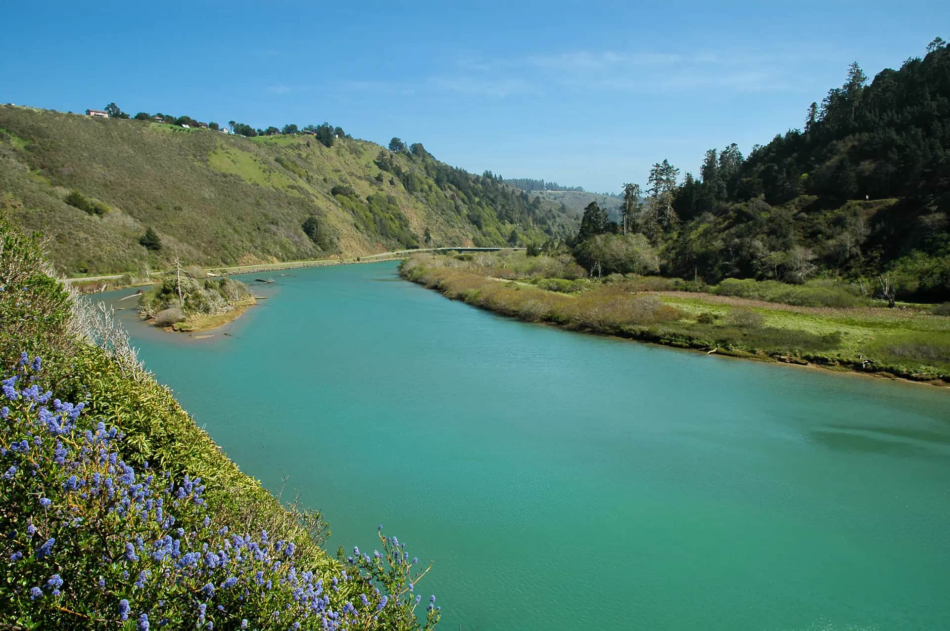
Generated regional lower Mattole River scene for Petrolia planning; not an exact location photo
All California reports

Fly fishing report · West

Mattole River at Petrolia

Mattole River at Petrolia planning with RiverReports flow, official USGS backing, CDFW regulation checks, NWS weather, access notes, hatch timing, fly picks, and practical safety guidance.

Check flow & weather
Today's river scoreHigh source confidence
Good

Best option: Wade.

Wading is in play only where your chosen access has clear footing, legal entry, and no forced crossings.

Updated Jul 16, 1:59 PM UTCUsually refreshes about every 45 minutes
Recommended approachWade

Mode scores adjust the river-wide score for the risks of wading, bank fishing, or floating.

Wade · Best fit74/100

Wading is in play only where your chosen access has clear footing, legal entry, and no forced crossings.

Bank / edge74/100

Bank and edge fishing remains a practical low-commitment option if access is legal and footing is safe.

Float74/100

A float is in play where this report supports boat access and wind, releases, and shuttle logistics are manageable.

Confirm before you leave

Flow and weather right now.

Use the flow trend to confirm the score before you leave. Weather can change the safest and most productive fishing window.

Loading current flow and weather.

River strategy

Treat this as a regulation-first coastal river day.

Mattole River at Petrolia is a North Coast anadromous river where legal status, low-flow rules, and storm timing decide whether a fly day makes sense. Use the live gauge, CDFW low-flow page, and local weather before thinking about flies.

  • Use RiverReports for a quick chart and 11469000 for official USGS context.
  • CDFW low-flow status, USGS Petrolia flow, King Range road conditions, and coastal weather
  • BLM King Range directions identify the Petrolia and Mattole Beach approach, but anglers should verify current road, parking, and land conditions before fishing.
  • Carry a valid California license and steelhead report card when the target requires it.
Why this score moved
FlowUse caution

USGS shows 35 cfs with a stable over about 6 hours trend. same-date USGS history (1912-2025, 77 readings) puts normal around 66 cfs and the low-water marker near 39 cfs; today's flow is unusually low for the date. Low water can make fish spooky, warm, pressured, or concentrated; check temperature and handling risk.

SeasonHelps score

Summer: Often more of a scouting, warmwater, surf, or estuary-adjacent planning season than a trout or steelhead season.

WeatherHelps score

The NWS forecast is about 52F with Mostly Sunny.

Public alertsHelps score

No active NWS alert was returned for this forecast point.

Fishing usefulnessHelps score

Skip during closures, muddy storm spikes, hot low water, or when access depends on private-land assumptions.

Read the water

What changes the plan.

Best windows come after the river is open under CDFW low-flow rules and the hydrograph is dropping into fishable shape. Skip Mattole River at Petrolia during closures, muddy storm pulses, hot low water, or unclear access conditions.

01

Dropping lower-river flow

Most useful after storms when the river clears and remains open.

02

Bar and estuary influence

Lower-river water can behave differently than the upper gauge plan.

03

Road-impact storms

Skip when roads, crossings, or wind make travel questionable.

04

Closed or too low

Follow CDFW low-flow updates and leave salmonids alone.

Field plan

Fish it with intention.

Best flows

Open under CDFW low-flow rules, dropping after rain, and clear enough to fish without stressing salmonids.

When to skip

Skip during closures, muddy storm spikes, hot low water, or when access depends on private-land assumptions.

Local plan

Petrolia or Ferndale approach is the practical base. Check cdfw low-flow status, usgs petrolia flow, king range road conditions, and coastal weather, then pick a short legal access plan instead of trying to cover the whole river.

Backup water

Check nearby BlueStreamFly reports if the gauge, rules, or weather do not fit the plan.

Hatches & flies

Bring a flexible box.

TimingWhat to watchUseful flies
01

Check open status before leaving home, then match the gauge to clarity when you arrive.

02

Swing sparse flies or small streamers through soft traveling lanes only when the river is legal and fishable.

03

Avoid redds, staging fish, and crowded slots; these rivers depend on careful handling.

04

Keep a backup plan because coastal rivers can close or blow out quickly.

Access & responsibility

Know the entry. Know the exit.

Check CDFW low-flow rules, current sport fishing regulations, and steelhead report-card requirements before fishing. Open status can change during the season.

01

Petrolia area

Remote lower-river planning base; confirm parking and land status.

02

Mattole Beach / King Range

Use BLM current condition and road information before committing.

03

Lower river bars

Change after storms and can be private or unsafe.

Transparent sources

Check the facts behind the plan.

Last material review: 2026-05-31

Active maintenance check: Jul 14, 2026. BlueStreamFly checks report sources, links, live fishability inputs, and page rendering on a recurring maintenance schedule. This check does not change the material review date unless public guidance or sources changed.

Common questions

Before you leave.

Is Mattole River at Petrolia usually open for fly fishing?+

Do not assume it is open. North Coast low-flow rules and salmonid protections can close these waters when flows are too low or conditions are stressful.

Should I wade or float?+

Wading from legal access is usually the safer planning baseline. Floating requires current local access knowledge, safe flow, and a realistic takeout.

Which flow source should I use?+

Use the RiverReports chart for a fast read and USGS 11469000 as the official flow source or context source.