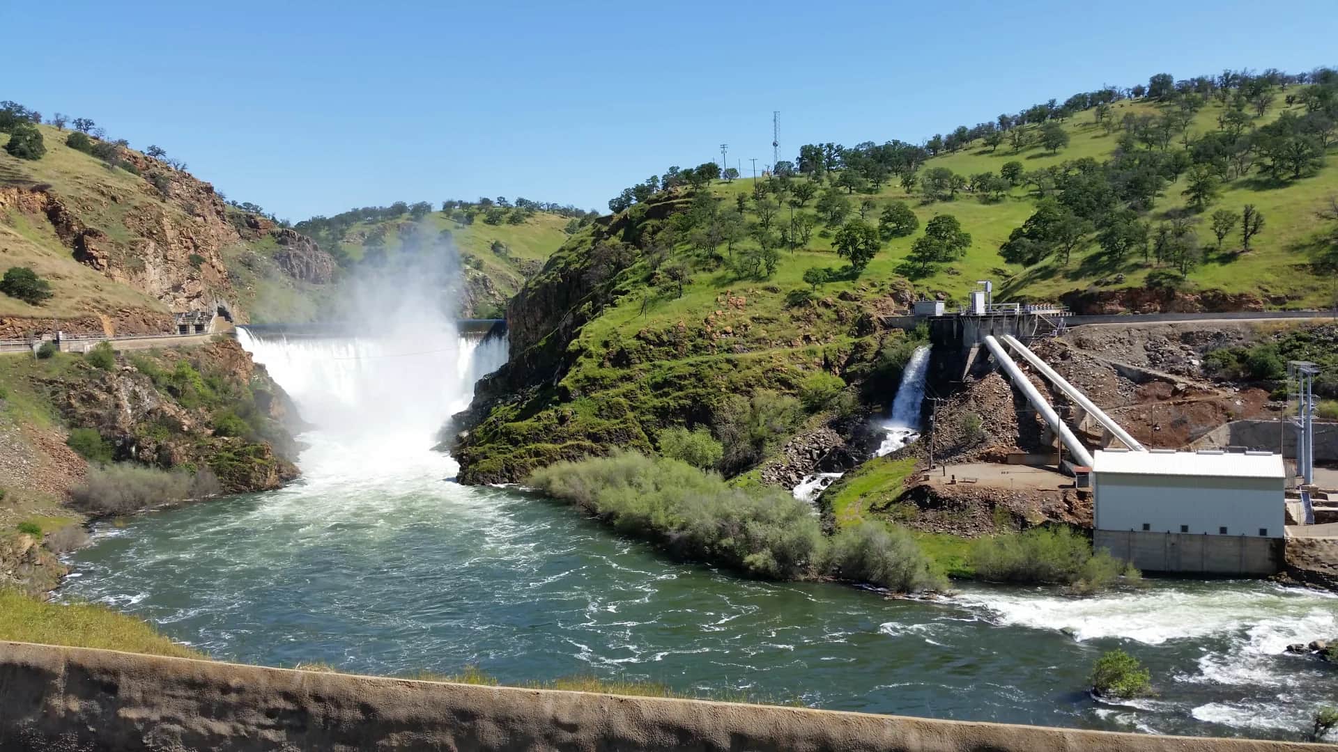
Generated lower Central Valley river scene representing the Tuolumne River below La Grange Dam, not an exact location photo
All California reports

Fly fishing report · West

Tuolumne River below La Grange Dam

A lower Tuolumne report for anglers checking regulated flows, public access, warm-water limits, and conservation guardrails below La Grange Dam.

Check flow & weather
Today's river scoreHigh source confidence
Good

Best option: Wade.

Wading is in play only where your chosen access has clear footing, legal entry, and no forced crossings.

Updated Jul 23, 4:21 AM UTCUsually refreshes about every 45 minutes
Recommended approachWade

Mode scores adjust the river-wide score for the risks of wading, bank fishing, or floating.

Wade · Best fit76/100

Wading is in play only where your chosen access has clear footing, legal entry, and no forced crossings.

Bank / edge76/100

Bank and edge fishing remains a practical low-commitment option if access is legal and footing is safe.

Float76/100

A float is in play where this report supports boat access and wind, releases, and shuttle logistics are manageable.

Confirm before you leave

Flow and weather right now.

Use the flow trend to confirm the score before you leave. Weather can change the safest and most productive fishing window.

Loading current flow and weather.

River strategy

Fish this as regulated lower-river water, not as a Sierra trout stream.

Below La Grange Dam, the Tuolumne is shaped by releases, warm Central Valley weather, public access limits, and salmonid conservation. The right plan starts with the LGN/USGS flow, CDFW rules, and posted park access before flies or timing.

  • RiverReports is used as the quick chart, backed by USGS 11289650 Tuolumne River below La Grange Dam and CDEC LGN metadata.
  • Turlock Irrigation District identifies La Grange Dam as the controlling dam just above this lower-river reach.
  • Stanislaus County park facilities provide public-access context, but posted local rules can be stricter than broad statewide fishing assumptions.
  • Treat salmon, steelhead, and habitat details conservatively. Check CDFW and current notices before fishing or handling any anadromous fish.
Why this score moved
FlowUse caution

USGS shows 305 cfs with a stable over about 6 hours trend. same-date USGS history (1971-2025, 55 readings) puts normal around 108 cfs and the upper quartile near 311 cfs; today's flow is on the high side for the date. This is near the high side of normal, so be careful about wading, clarity, and pushy current before calling it good.

SeasonHelps score

Summer: Often limited by heat, lowland temperatures, and ethical fish-handling concerns.

Water temperatureHelps score

USGS water temperature is about 55F, with no heat stop triggered.

Public alertsHelps score

No active NWS alert was returned for this forecast point.

Fishing usefulnessHelps score

Skip during hot low-water trout-stress windows, unsafe release changes, closures, or unclear public-access status.

Read the water

What changes the plan.

The reach is most useful when releases are stable, temperatures are reasonable, and public access is clearly open. It loses value during hot low-flow periods, high release changes, poor clarity, or when posted local restrictions make a bank plan impractical.

01

Stable release

Best for reading banks, current seams, and legal public access without sudden wading changes.

02

Hot low water

Usually a reason to skip trout handling and treat the river as a conservation-first plan.

03

High or changing release

Back away from wading and re-check park access, flows, and safe footing.

04

Cooler shoulder-season water

The best window for cautious nymphing or streamer work if regulations and access allow.

Field plan

Fish it with intention.

Best flows

Stable releases that leave safe public-bank edges and readable seams without creating warm, stagnant, or suddenly changing conditions.

When to skip

Skip during hot low-water trout-stress windows, unsafe release changes, closures, or unclear public-access status.

Local plan

Check LGN/USGS, confirm CDFW and posted park rules, then fish the safest public edge with a short plan rather than roaming private banks.

Backup water

Move to the Stanislaus or an upper Tuolumne reach when the lower river is warm, restricted, or operationally awkward.

Hatches & flies

Bring a flexible box.

TimingWhat to watchUseful flies
01

Check the LGN/USGS flow first, then decide whether the release is safe and useful from public access.

02

Use signed public sites and posted park rules. Do not turn private banks or restricted areas into informal access.

03

Fish cooler windows and stop when water temperature or fish-handling risk becomes the main issue.

04

Avoid unsupported salmon or steelhead targeting assumptions; CDFW rules and closures come first.

Access & responsibility

Know the entry. Know the exit.

Check CDFW's current freshwater regulations and any emergency or local posted restrictions before fishing. Do not rely on a broad statewide assumption for this regulated lower-river reach.

01

Basso Bridge area

Use Stanislaus County and posted local rules to confirm access and allowed activity before fishing.

02

Fox Grove area

A lower Tuolumne public-access reference that still requires current park and river-rule checks.

03

Signed public river parks

Use only clearly public access with legal parking and posted fishing permission.

Recent reach reports

What anglers are seeing.

Moderated, river-level updates for Tuolumne River below La Grange Dam. Exact spots, private access notes, and private media never appear here.

No verified reach reports yet.

Be the first to share a generalized river update through the moderated BSF app flow.

Transparent sources

Check the facts behind the plan.

Last material review: 2026-05-31

Active maintenance check: Jul 14, 2026. BlueStreamFly checks report sources, links, live fishability inputs, and page rendering on a recurring maintenance schedule. This check does not change the material review date unless public guidance or sources changed.

Common questions

Before you leave.

Is this the same as the upper Tuolumne?+

No. This page covers regulated lower-river water below La Grange Dam, not the Sierra or Hetch Hetchy reaches.

What flow should I check?+

Use RiverReports/CDEC LGN for the quick chart and USGS 11289650 as the official below-dam flow reference.

Can I fish anywhere below La Grange Dam?+

No. Use signed public access only and follow posted local rules plus current CDFW regulations.