7-day U.S. Geological Survey chart
Recent flow
Discharge
375 cfs81 cfs
Oct 7Oct 14
Latest reading: 167 cfs. Rising over about 6 hours. Chart covers Oct 7 through Oct 14; readings are provisional and may be revised.
No access method is recommended today. Review the live conditions below before choosing another river or day.
Rating updatedRiver local time:
USGS shows 167 cfs. The flow has been stable over about 6 hours. USGS marks this reading provisional and may revise it. USGS records for this date (1946-2026, 72 readings) show a median near 82 cfs and a high-water marker near 124 cfs; today's flow is above that high-water marker. Treat this as high-water fishing: wading, clarity, crossings, and boat control need a conservative check.
NWS air forecast near
This is an air forecast, not a river-temperature reading. Check the water with a stream thermometer before fishing in hot weather.
Discharge
Latest reading: 167 cfs. Rising over about 6 hours. Chart covers Oct 7 through Oct 14; readings are provisional and may be revised.
Chance Rain And Snow Showers
The National Weather Service forecast is temporarily unavailable.
Current U.S. Geological Survey gauge: Wind River near Dubois
Seasonal starting points, not a live hatch report. Match what you see on the water.
Each fly name opens its matching Fly Box guide.
Best fishing is usually after the main snowmelt push settles and before late-season cold or low water narrows the day. Have a backup plan when the Dubois gauge is rising fast.
Best all-around window for dries, dry-droppers, and nymphing.
Fish soft edges only if safe. Otherwise wait for falling clarity.
Use smaller flies, longer leaders, and careful approaches.
Nymph deeper, slow down, or choose a lower-elevation backup.
No access method is recommended in today's conditions. Review the live river and weather checks before making another plan.
Not recommended today. Recheck the river, weather, and access before planning another trip.
Not recommended today. Recheck the river, weather, and access before planning another trip.
Not recommended today. Recheck the river, weather, and access before planning another trip.
Is Wind River worth the trip today? Check flow, weather, hatches, access, and rules for Wyoming before you go.
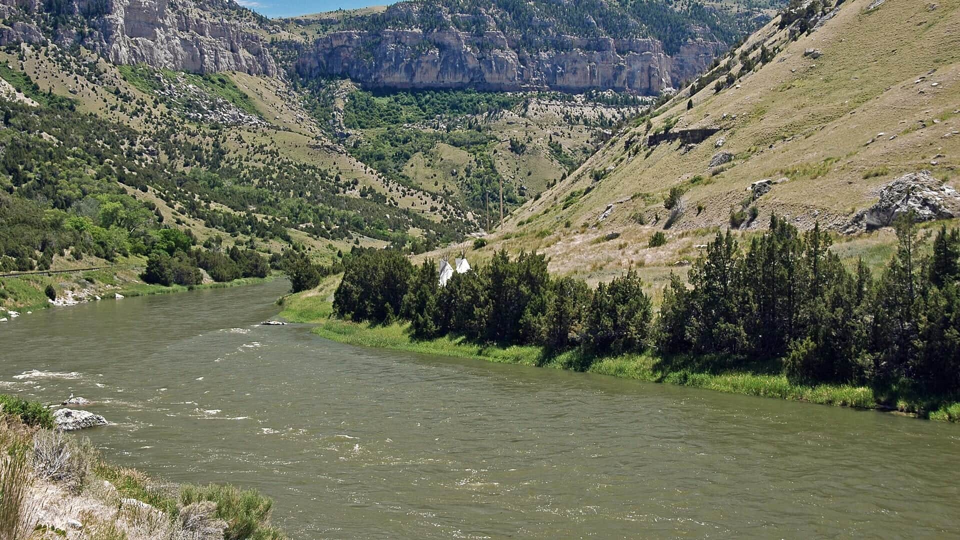
The useful Wind River report is the upper public-water plan near Dubois, not a vague mix of reservation water, Boysen tailwater, and Bighorn River naming changes. Use the Dubois gauge and WGFD access sources first.
USGS shows 167 cfs. The flow has been stable over about 6 hours. USGS marks this reading provisional and may revise it. USGS records for this date (1946-2026, 72 readings) show a median near 82 cfs and a high-water marker near 124 cfs; today's flow is above that high-water marker. Treat this as high-water fishing: wading, clarity, crossings, and boat control need a conservative check.
The forecast has storm or heavy-precipitation risk, so timing and access matter more than the score alone.
Fall: Clear water and cooler days favor nymphs and small streamers.
The current NWS air forecast is about 38F, and the next 24-hour high reaches about 48F. Chance Rain And Snow Showers.
No active NWS alert was returned for this forecast point.
Use USGS 06218500 Wind River near Dubois as the primary live trend. Stable or slowly dropping flows after runoff are the best fit. High cold water, wind, or unclear public access should move the plan to short scouting or another river.
Skip the Wind when runoff makes crossings unsafe, when access boundaries are uncertain, when the plan drifts into reservation or private water without permission, or when weather makes an exposed upper-basin day impractical.
Keep the day near the upper Dubois scope. Use Dunoir or Sawmill public-access information as the planning anchors, the Dubois gauge for flow, and a separate rule check before treating downstream Wind or Bighorn water as part of the same trip.
If the upper Wind is high, cold, windy, or access-limited, compare the Shoshone near Cody, the Bighorn near Thermopolis, or the Snake River for a different Wyoming trout plan.
Use these places as starting points. Open the access link below and check posted signs before you park or enter.
Check Wyoming Game and Fish Area 2 rules and current access-area rules before fishing. Confirm tribal, private, or reservation boundaries before fishing outside the upper Dubois public-water scope.
WGFD public access context near Dubois. Verify current signs and restrictions.
Another WGFD upper Wind access reference for reach planning.
Use USGS 06218500 before committing to pocket-water wading.
Official agencies and primary river operators come first. Secondary tools are labeled so you know what carries the most weight.
Check what is allowed, where the rule applies, and whether the river is open.
Check the latest river reading and forecast before you leave.
Check public entry points, land rules, and seasonal access changes.
Check what is allowed, where the rule applies, and whether the river is open.
Open the current rules and check the river section, season, and special limits.
Open the current rules and check the river section, season, and special limits.
Check the latest river reading and forecast before you leave.
Open this page and check the latest safety advice before your trip.
Open this river reading to check the latest level, flow, and update time.
Open this river reading to check the latest level, flow, and update time.
Check public entry points, land rules, and seasonal access changes.
Open the land or access page, then check signs before you park or enter.
Open the land or access page, then check signs before you park or enter.
What was checked: This report is maintained from current regulation, access, flow, weather, and public planning sources so anglers can make better trip decisions than a raw gauge or generic overview would allow.
Live measurements and forecasts keep their provider timestamps. Rules, access, and trip guidance use the source-review date shown here. BlueStreamFly planning advice is editorial interpretation, not an agency notice.
First-hand experience: BlueStreamFly does not claim a first-hand visit or local field test for this report unless a real contributor is explicitly named and linked.
WGFD Area 2 rules, access-area status, USGS Dubois flow, weather, snowmelt, and land boundaries
Use USGS 06218500 Wind River near Dubois for the upper page scope, with USGS 06220000 at Dubois as additional local context when needed.
Start with WGFD upper Wind public access areas such as Dunoir and Sawmill, then confirm posted boundaries and road conditions.
Yes at normal summer flows in suitable pocket water, but snowmelt and cold pushy current make conservative wading essential.


