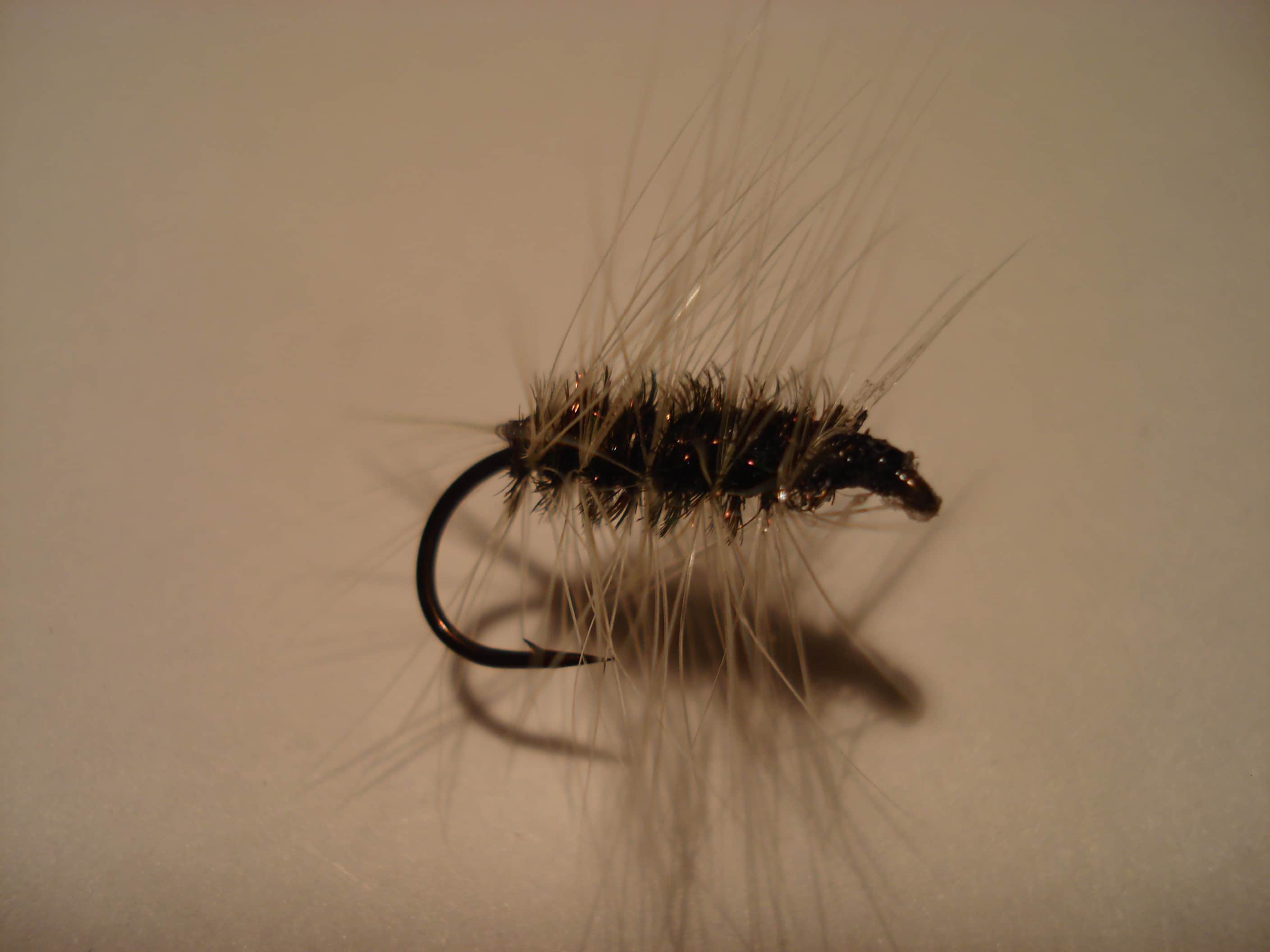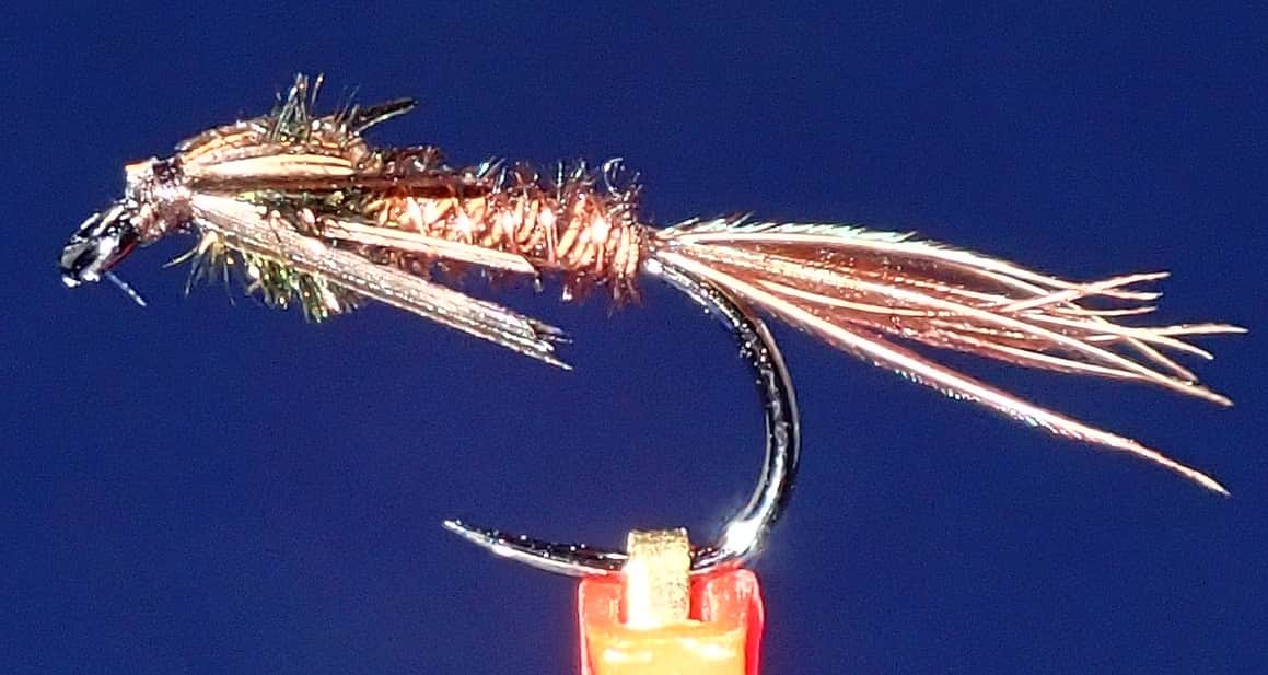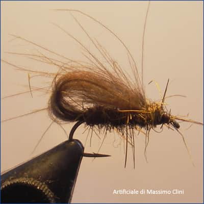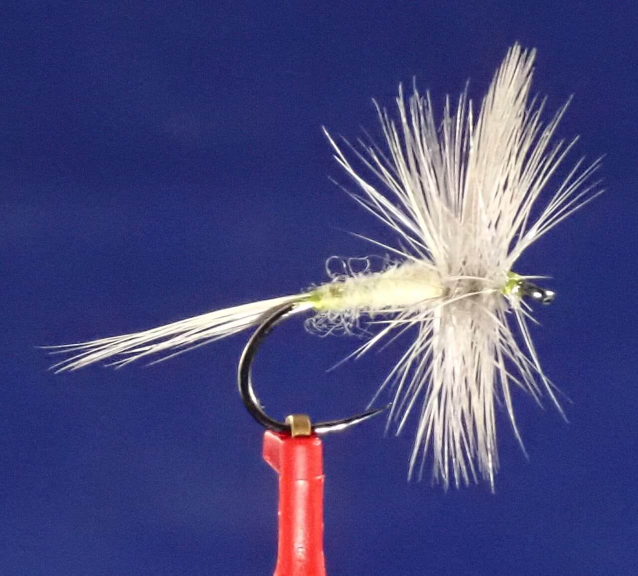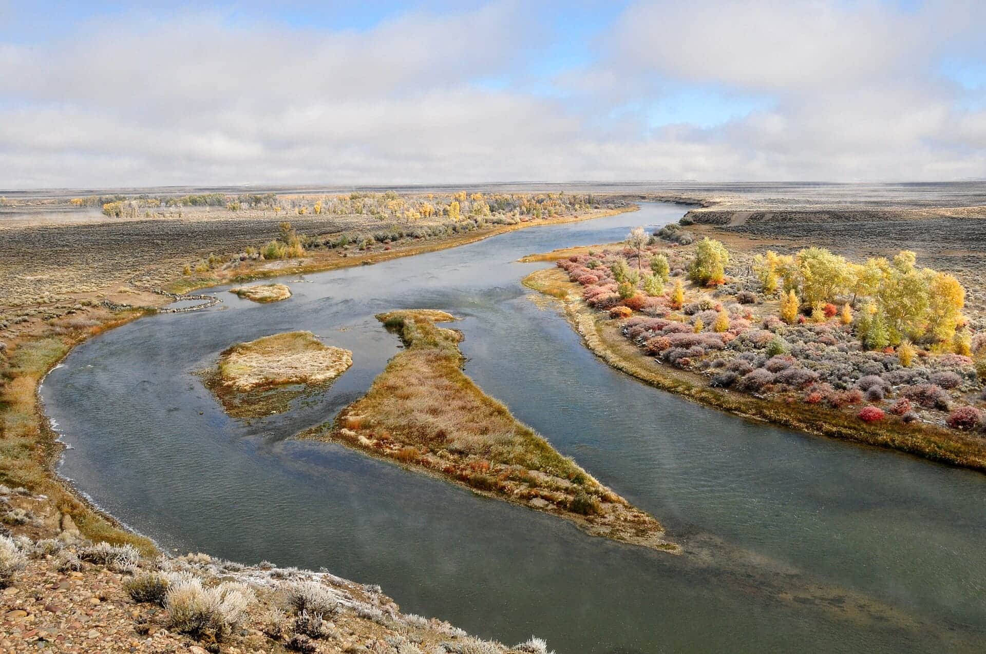
The Green River winding through Seedskadee National Wildlife Refuge downstream of Fontenelle Reservoir
All Wyoming reports

Fly fishing report · West

Green River Below Fontenelle Reservoir

A decision-first Fontenelle tailwater report: check the exact release trend, confirm legal access and seasonal restrictions, then choose a bank, wade, or float plan that fits the water you find.

Check flow & weather
Today's river scoreLive calculation
Poor

Best option: Bank / edge.

Bank and edge fishing is the safer default when water is high, pushy, or not fully verified.

Returned dataHigh reliabilityReliability of the flow, weather, and alert data that returned.
Today's decisionHigh confidenceA verified hard stop is active, so the avoid-or-wait decision is clearer than the fishing score itself.
Score calculated Aug 10, 12:59 AM UTCUsually refreshes about every 45 minutes
Recommended approachBank / edge

Mode scores adjust the river-wide score for the risks of wading, bank fishing, or floating.

Wade4/100

Wading is the most sensitive plan today. Use protected edges only, avoid crossings, and downgrade quickly if clarity or current feels wrong.

Bank / edge · Best fit21/100

Bank and edge fishing is the safer default when water is high, pushy, or not fully verified.

Float19/100

A float can fit better than wading only if launches, shuttle, boat skill, wind, and local rules all check out.

Before you go

Red Flag Warning issued August 9 at 12:55AM MDT until August 9 at 9:00PM MDT by NWS Riverton WY

Confirm before you leave

Flow and weather right now.

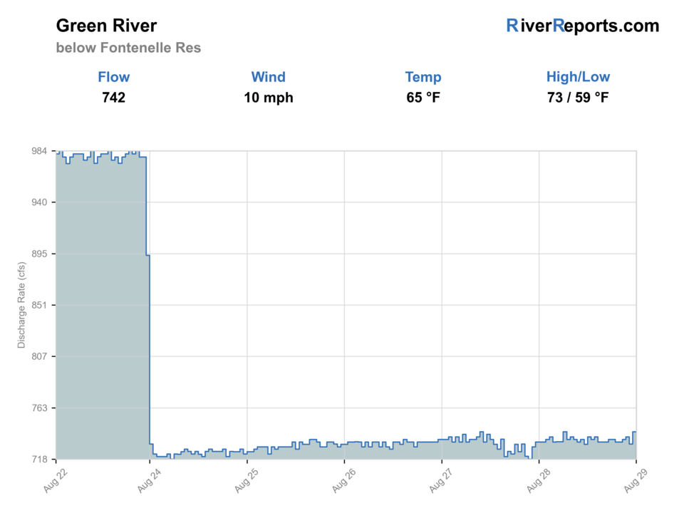
Use the flow trend to confirm the score before you leave. Weather can change the safest and most productive fishing window.

Loading current flow and weather.

River strategy

Check the release trend before choosing how much river to cover.

Fontenelle is a release-controlled tailwater, so the useful question is not whether the Green River is generally fishing well. It is whether the exact below-dam trend is stable, the access you intend to use is open and legal, and the wind or storm risk still leaves a safe plan.

  • Use USGS 09211200 for the machine-readable flow that feeds the fishability decision on this page.
  • Treat a sharp rise or fall as a reason to simplify the plan and stay off uncertain crossings.
  • Use the BLM Tailrace Camp Area as a verified public starting point, not as permission to cross neighboring private land.
  • The first mile below the dam closes October 1-December 31; the separate trophy rule begins 4.5 miles below the dam at County Road 8.
Why this score moved
Public alertLowers score

An active alert is in effect: Red Flag Warning issued August 9 at 12:55AM MDT until August 9 at 9:00PM MDT by NWS Riverton WY. Check public safety sources before going.

Best mode nowLowers score

Bank / edge: Bank and edge fishing is the safer default when water is high, pushy, or not fully verified.

FlowUse caution

USGS shows 725 cfs with a stable over about 6 hours trend. same-date USGS history (1964-2025, 62 readings) puts normal around 1,380 cfs and the lower quartile near 1,070 cfs; today's flow is below normal for the date. This is below normal, so edge depth, temperature, and pressure matter.

Local scoring depthUse caution

This page is using baseline river-specific guidance while deeper local scoring is still being reviewed. Use the live sources and local checks before relying on the rating.

SeasonHelps score

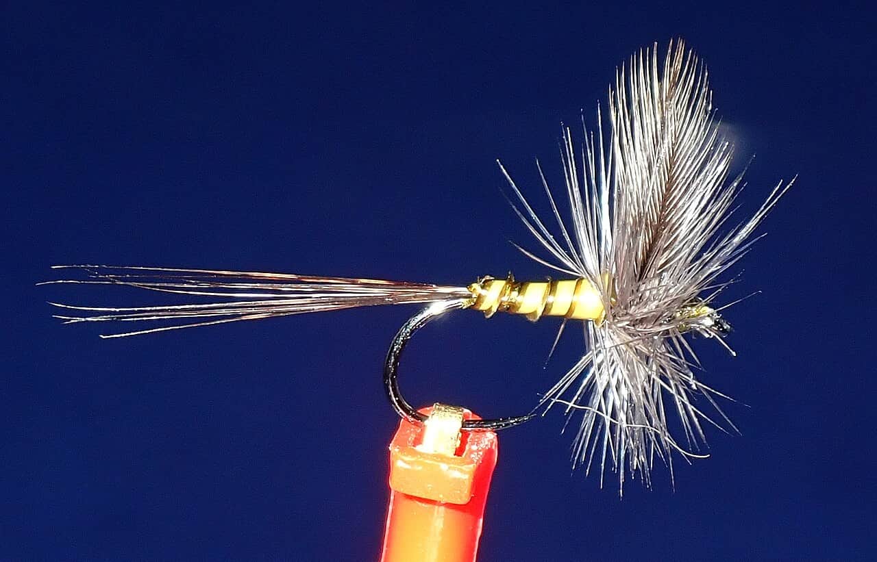
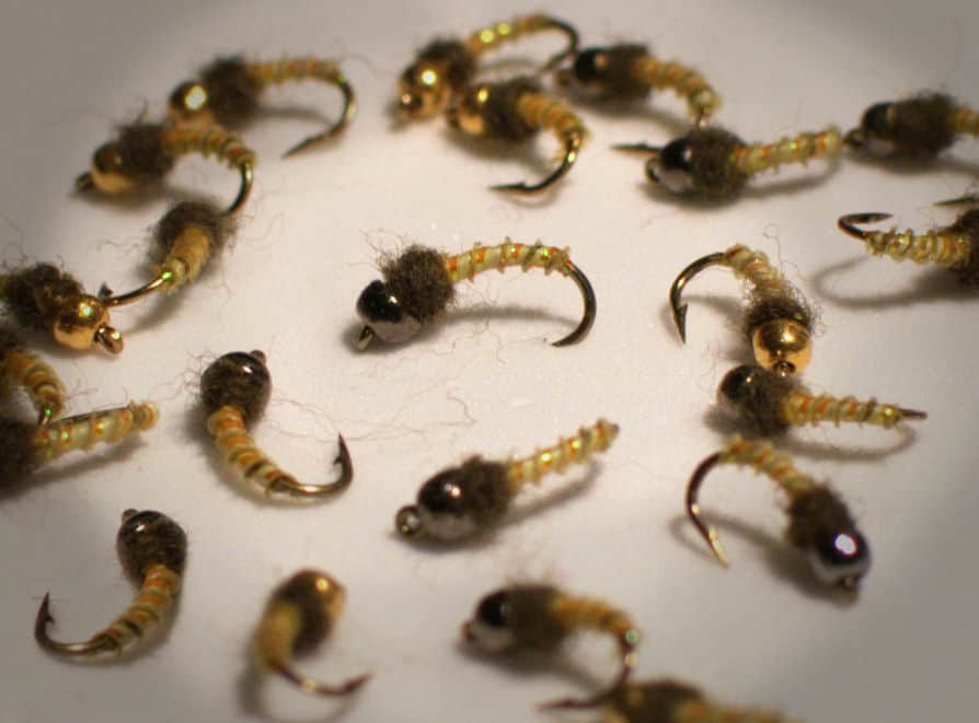
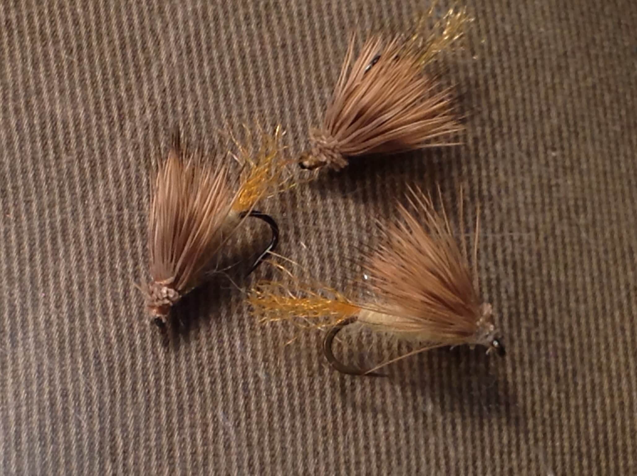
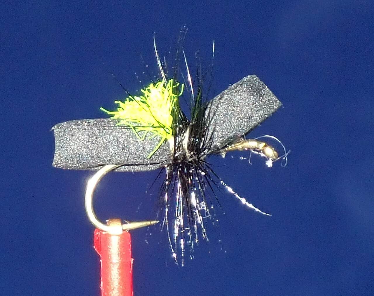
Summer: PMDs, caddis, terrestrials, and evening activity improve when releases remain stable.

Read the water

What changes the plan.

Stable releases and manageable wind create the cleanest nymph, dry-fly, and streamer windows. Rapid flow changes, severe weather, an annual first-mile closure, or a reach-specific heat advisory should narrow or stop only the part of the plan they actually cover.

01

Stable release

Fish defined seams with small nymphs, dry-dropper rigs, and dries when adults are visible.

02

Rising release

Step back from crossings, fish softer banks, and wait for the new level to stabilize.

03

Falling release

Expect fish to reposition; work remaining depth and avoid stranding a boat or wade route.

04

Severe wind or lightning

Leave exposed water. A favorable flow does not make an open tailwater safe in a storm.

Field plan

Fish it with intention.

Best flows

No single universal discharge is promised. Favor a stable trend that leaves defined edges and safe entries at the exact access you inspect.

When to skip

Skip the first mile during the October 1-December 31 closure; elsewhere skip or narrow the plan for sharp release changes, lightning, unsafe wind, unclear access, or a reach-specific advisory.

Local plan

Start at the official tailrace access, inspect clarity and edge speed, then decide whether the day stays local or expands downstream.

Backup water

Use Fontenelle Reservoir or the separate Warren Bridge report when the tailwater's release, wind, or restrictions do not fit the day.

Hatches & flies

Bring a flexible box.

TimingWhat to watchUseful flies
01

Read the release graph before tying a rig; trend direction matters as much as the displayed discharge.

02

Fish the near bank and soft inside water before committing to deeper tailwater current.

03

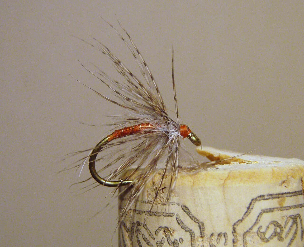
Use small midges or baetis patterns when the water is clear and fish are pressured.

04

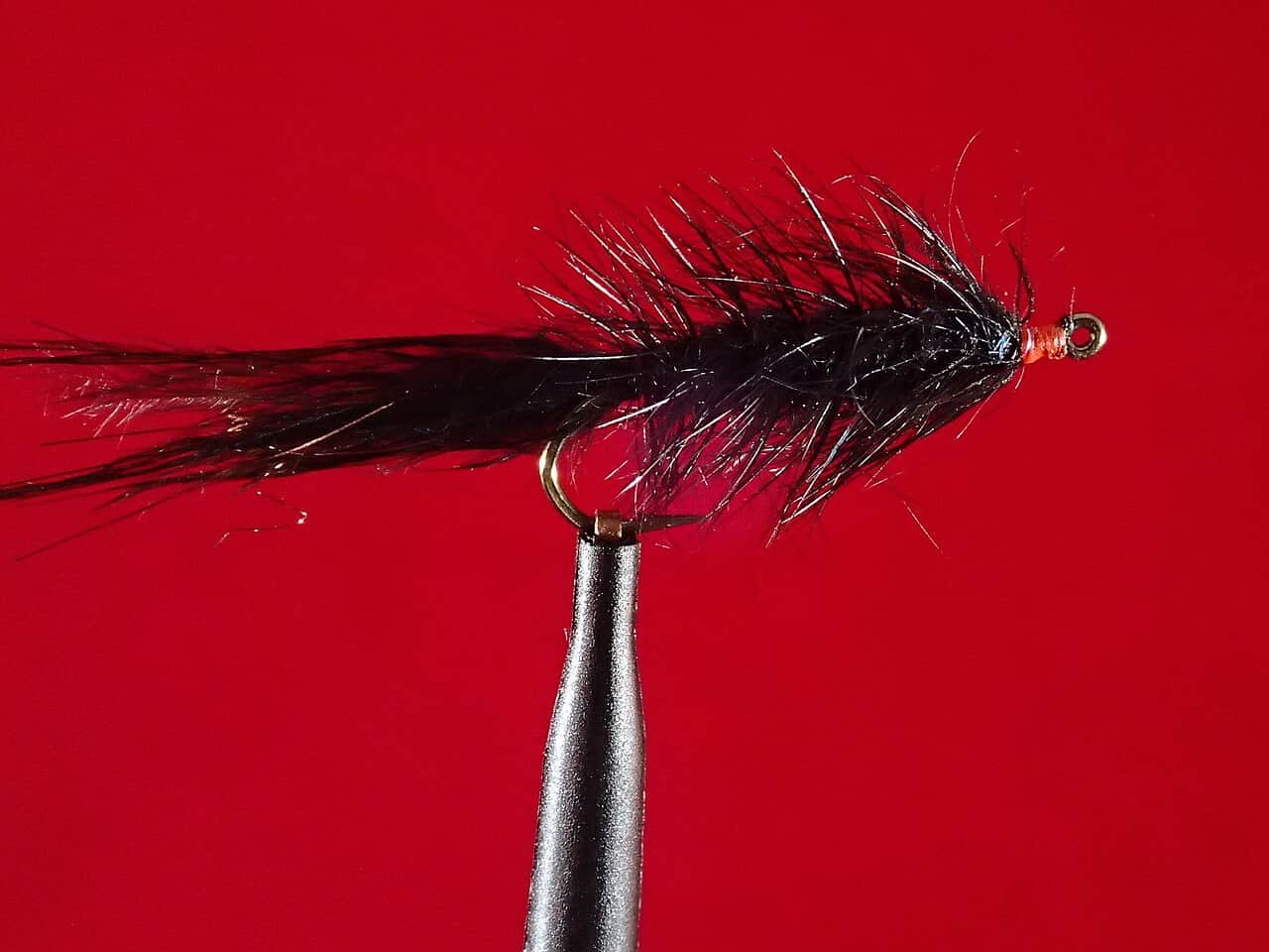
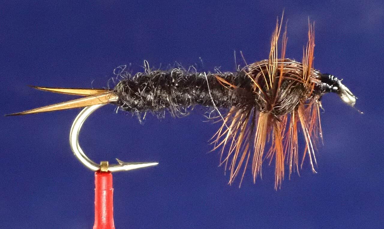
Cover deeper banks with a sparse streamer in low light or modest stain.

05

If releases are moving quickly, keep the plan bank-oriented and avoid long downstream commitments.

Access & responsibility

Know the entry. Know the exit.

The 2026 rule closes all fishing from Fontenelle Dam downstream about one mile to the USGS cable at Weeping Rocks from October 1-December 31. From County Road 8, 4.5 miles below the dam, to the Big Sandy confluence, the rule is one trout, release all trout under 20 inches, and artificial flies or lures only. The current WGFD brochure and posted signs are the legal authority.

01

BLM Tailrace Camp Area

Official public access below Fontenelle Dam with fishing and camping context; verify current site conditions before driving in.

02

Below-dam public corridor

Use signed public entries and current land-status maps; visible banks are not automatically public.

03

Seedskadee refuge float corridor

USFWS documents four ramps, designated roads, non-motorized boating guidance, and named river-mile access points downstream.

Rules and notices

Check the exact reach before you fish.

Official rules and access notices stay separate from fishing advice. Follow the linked authority if signs or current notices disagree with this summary.

Seasonal — check datesSeasonal closure

Fontenelle Dam to Weeping Rocks annual fishing closure

Applies to: Fontenelle Dam downstream about one mile to the USGS cable at Weeping Rocks Campground

When: October 1-December 31 annually

Source reviewed:

This closure does not extend to the full Fontenelle-to-Seedskadee corridor.

Open the official source
Active when reviewedVoluntary advisory

Current Green River voluntary heat advisory below Slate Creek

Applies to: Slate Creek Campground downstream to Flaming Gorge

When: Voluntary catch-and-release pause from noon to sunrise while the advisory remains posted

Source reviewed:

The listed advisory begins 4.6 river miles below Fontenelle Dam and is not a statutory whole-river closure.

Open the official source

Recent reach reports

What anglers are seeing.

Moderated, river-level updates for Green River Below Fontenelle Reservoir. Exact spots, private access notes, and private media never appear here.

No verified reach reports yet.

Be the first to share a generalized river update through the moderated BSF app flow.

Transparent sources

Check the facts behind the plan.

Editorial guidance reviewed . This date applies to access, hatches, tactics, and source notes—not today's conditions.

Active maintenance check: . BlueStreamFly checks report sources, links, live fishability inputs, and page rendering on a recurring maintenance schedule. This check does not change the material review date unless public guidance or sources changed.

Common questions

Before you leave.

What water does this Green River below Fontenelle report cover?+

The tailwater immediately below Fontenelle Dam and the downstream public-access corridor, not the upper Green at Warren Bridge.

What should I check first before fishing Green River below Fontenelle?+

Start with USGS 09211200, then confirm Wyoming rules, dam-area notices, BLM access, wind, and lightning risk.

Is access straightforward on Green River below Fontenelle?+

There is verified BLM tailrace access, but downstream ownership is mixed. Stay with signed public entries and confirmed parcels.

Does the fishability score replace local judgment?+

No. Use it as a starting decision, then confirm the source timestamp, official rules, alerts, water temperature, visibility, and conditions at the access you actually plan to use.