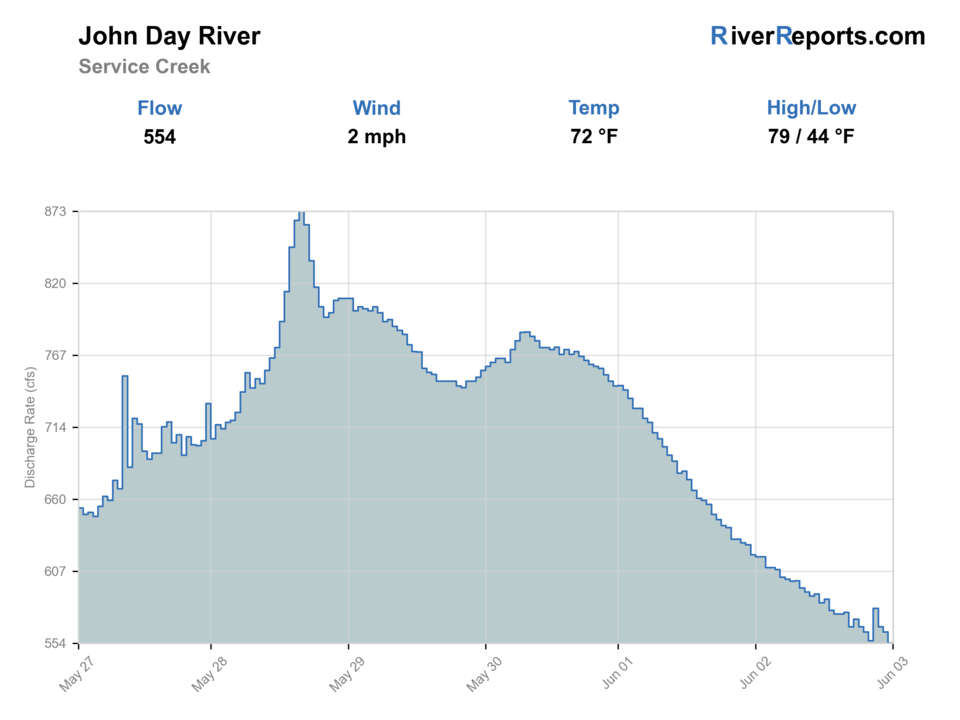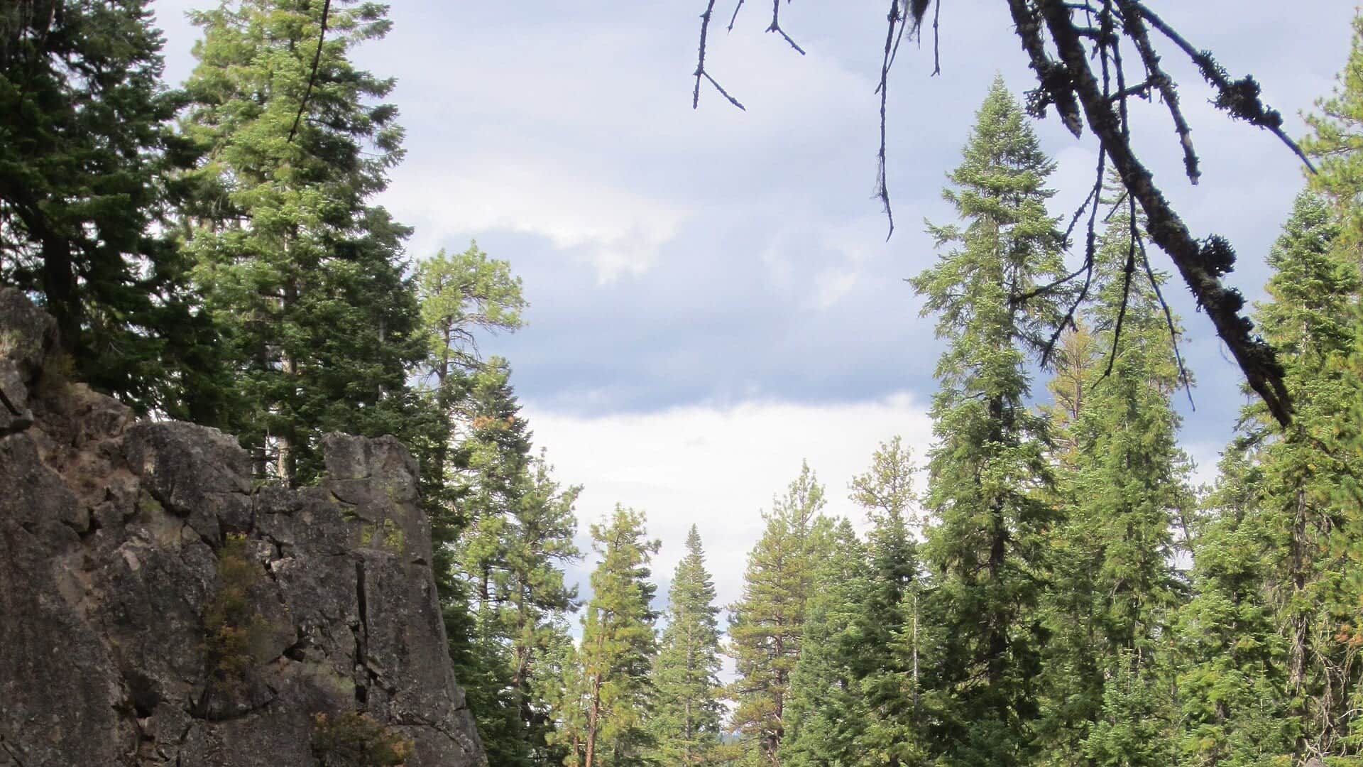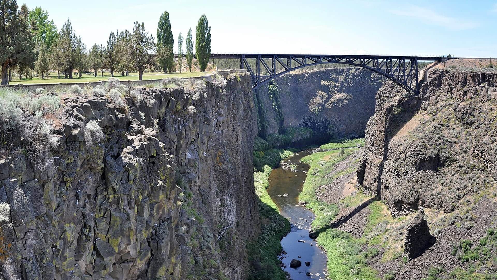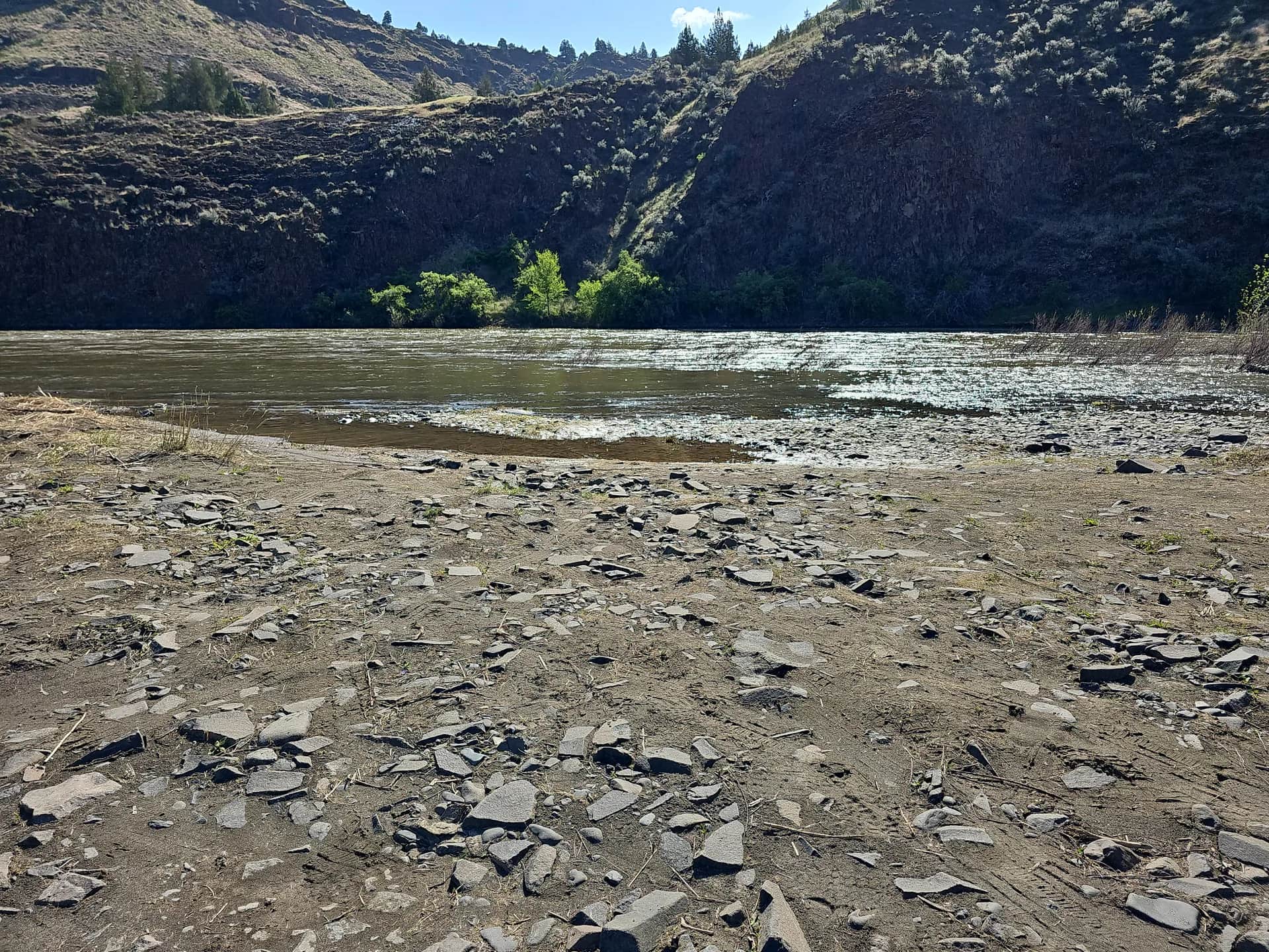
Historical May 2023 view of the primitive boat launch at Donnelly Service Creek River Access Park on the John Day River.
Should I go fishing?

Go with caution.

Fishable with caution. Flow is extremely low.

Fish from the bank. Fish a short early or late bank session for smallmouth at a confirmed public access. This gauge does not measure water temperature. Do not plan a float at this reading.

Check first: USGS 14046500 and the NWS forecast are current, but they do not measure water temperature, clarity, bank footing, boat-ramp condition, or fishing quality at the chosen access.

Rating updatedRiver local time:

Why this recommendation?

USGS shows 26 cfs. The flow has been stable over about 6 hours. USGS marks this reading provisional and may revise it. USGS records for this date (1930-2025, 96 readings) show a median near 109 cfs and a low-water marker near 41 cfs; today's flow is unusually low for the date. USGS 14046500 measures discharge and stage on the John Day River at Service Creek. It does not measure water temperature, turbidity, clarity, local depth at Donnelly, bank footing, ramp condition, fishing quality, or safe wading. Low water can make fish spooky, warm, pressured, or concentrated; check temperature and handling risk.

Available live dataHighHow much of the live flow, weather, and alert data came back.
Confidence in this recommendationMediumUSGS 14046500 and the NWS forecast are current, but they do not measure water temperature, clarity, bank footing, boat-ramp condition, or fishing quality at the chosen access.
Usually checks again about every 45 minutes

If you go

Check
Read USGS 14046500, the latest signed BLM access and fire orders, and the forecast before leaving.
Fish
For most warm-season trips, fish a short early or late bank session for smallmouth at Donnelly.
Leave
Do not float unless the permit, suitable craft, flow, launch, takeout, shuttle, PFD, drinking water, and weather are confirmed.

Flow and weather

Showing server-checked river conditions while current readings refresh.
Flow
26 cfs
From the latest stored river check. Open the official source for the newest reading.
Air forecast
68°F
Next 24h high
69.0°F

NWS air forecast near

Rain chance
42%

This is an air forecast, not a river-temperature reading. Check the water with a stream thermometer before fishing in hot weather.

Latest stored weather check

Chance Showers And Thunderstorms

Wind
2 mph
Weather checked
More forecast and source details

Chance Showers And Thunderstorms

National Weather Service

John Day River at Service Creek

The National Weather Service forecast is temporarily unavailable.

Live data

Where these readings come from

RiverReports gauge: John Day River at Service Creek

Flies for this time of year

Seasonal starting points, not a live hatch report. Match what you see on the water.

See flies for every season

Seasonal flies for Service Creek

Choose the legal target and time of year first. Smallmouth are the primary warm-season fish; salmonid seasons and water temperature need a separate check.

SeasonWhat to look forFlies to try

Every listed recommendation below links to a reviewed Fly Box guide with a matching eligible picture.

More fishing tips

Methods, fish species and trip notes

USGS 14046500 at Service Creek

Use the current flow to choose the mode, not to infer water temperature or fishing quality. At very low flow, fish a short early or late bank session for smallmouth and do not float. Wade only where entry is legal, footing is visible, and no crossing is required. Rising or muddy water, strong wind, extreme heat, smoke, or an unresolved access order should stop or shorten the trip.

Very low flow

Use a short bank or edge session for smallmouth. Wade only on visible stable footing and do not plan a float.

Craft-specific float check

BLM recommends at least 300 cfs for canoes or inflatable kayaks when Clarno Rapid is lined or portaged, 1,000 cfs for inflatable rafts, and 1,200 cfs for drift boats. These are planning minimums, not safety guarantees.

Rising, muddy, windy, or smoky

Do not launch. Recheck the gauge, weather, signed access order, and fire restrictions before changing the plan.

Coldwater target

Confirm the legal season and measure local water temperature before targeting trout or steelhead. The gauge does not measure it.

Wading, bank fishing or floating?
Best access methodBank fishing

These scores compare the risks of wading, bank fishing, and floating.

WadingCheck

Wade only a visible protected edge after checking legal entry, depth, current, footing, and an easy exit. Avoid forced crossings.

Bank fishing · Best fit57/100

Use a confirmed public bank or protected edge with stable footing. Check posted access, weather, clarity, current, and water temperature before fishing.

Floating0/100

Float not recommended. USGS 14046500 reports 26 cfs, below BLM John Day River Know Before You Go's lowest planning minimum of 300 cfs. BLM's John Day guidance lists craft-specific planning minimums, not safety guarantees. A threshold does not prove that a float is safe, practical, permitted, or appropriate.

Full river report

This report covers the John Day at USGS 14046500 and the Donnelly Service Creek access. Check the live flow, BLM permit and fire status, weather, and exact launch conditions before choosing a bank, wade, or float plan.

USGS 14046500 measures discharge and stage for this reach, not water temperature, clarity, footing, ramp condition, safe wading, or fishing quality. Smallmouth are the primary warm-season target. Trout and hatchery steelhead require their own legal-season and temperature checks.

Fishing words used on this page
U.S. Geological Survey (USGS) gauge
A USGS gauge is an official river station that measures flow or water height.
Cubic feet per second (cfs)
Cubic feet per second, or cfs, shows how much water passes the gauge each second.
Nymph
A nymph is a young water insect. Anglers also use the word for a fly that copies it.
Presentation
Presentation means how you cast and move the fly so it looks natural to a fish.
Why this call

Why this score

FlowUse caution

USGS shows 26 cfs. The flow has been stable over about 6 hours. USGS marks this reading provisional and may revise it. USGS records for this date (1930-2025, 96 readings) show a median near 109 cfs and a low-water marker near 41 cfs; today's flow is unusually low for the date. USGS 14046500 measures discharge and stage on the John Day River at Service Creek. It does not measure water temperature, turbidity, clarity, local depth at Donnelly, bank footing, ramp condition, fishing quality, or safe wading. Low water can make fish spooky, warm, pressured, or concentrated; check temperature and handling risk.

Short-term weatherUse caution

The forecast has storm or heavy-precipitation risk, so timing and access matter more than the score alone.

Best mode nowUse caution

Bank / edge: Use a confirmed public bank or protected edge with stable footing. Check posted access, weather, clarity, current, and water temperature before fishing.

SeasonHelps

Fall: Smallmouth remain available as water cools.

WeatherHelps

The current NWS air forecast is about 68F, and the next 24-hour high reaches about 69F. Chance Showers And Thunderstorms.

Trip notes

How to fish Service Creek at today's flow

Best flows

For bank fishing, use a stable readable flow and verify the exact edge on site. For boating, apply BLM's craft-specific planning minimums: 300 cfs for canoes or inflatable kayaks when Clarno Rapid is lined or portaged, 1,000 cfs for inflatable rafts, and 1,200 cfs for drift boats.

When to leave

Skip or shorten the trip for rising or muddy water, dangerous heat, strong wind, smoke, a newer closure, unverified legal access, or any missing float requirement.

Local plan

For most warm-season days, fish a short early or late smallmouth session from the confirmed Donnelly bank. Treat the 48-mile Service Creek-to-Clarno float as a separate multi-day trip.

Backup water

Use the broader John Day report for another main river reach, or compare the Deschutes and Crooked after checking each river's current flow, access, rules, and temperature.

What you can fish for

Smallmouth bass

Primary fish

When: Open year-round; strongest warm-season plan

Fish low-light banks and current breaks, then handle fish quickly in warm, low water.

Trout

Seasonal

When: May 22 through October 31

Confirm the trip-date rules and measure local water temperature. The Service Creek gauge does not provide it.

Hatchery steelhead

Seasonal

When: January 1 through April 30 and September 1 through December 31

Check in-season updates, carry the required Columbia River Basin Endorsement, and release wild steelhead unharmed.

Service Creek access and float checklist

Donnelly is the confirmed public anchor. A legal boating permit does not make low flow, a missing shuttle, or an unsuitable craft safe.

Before you go

Under the reviewed 2026 Northeast Zone rules, smallmouth bass and other warmwater fish are open year-round, and stream bass have no daily limit. Trout is open May 22 through October 31 with a two-fish daily limit and eight-inch minimum. Hatchery steelhead is open January 1 through April 30 and September 1 through December 31. Release wild steelhead unharmed and carry the Columbia River Basin Endorsement when fishing for steelhead. Check ODFW in-season updates for the trip date before fishing.

Rules by reach

Fishing rules by reach and season
Reach and seasonFishing rules
Donnelly accessbank, edge, or launch

Use the confirmed BLM site for a short bank session or as the launch only after the boating checklist passes.

Official rule
Service Creek to Clarno48-mile Class II–III float

BLM describes a three- to five-day trip. It requires route, permit, suitable craft, takeout, shuttle, PFD, safety equipment, drinking water, weather, fire, and flow checks.

Official rule

Where to access the river

Donnelly Service Creek River Access Park

Confirmed BLM public anchor with a primitive launch, trailer parking and turnaround, four first-come walk-to campsites, and two accessible vault toilets. There is no potable water or garbage service.

Site details
  • A signed BLM order effective August 27, 2026 rescinded the broad Prineville public-access closures except Priest Hole Campground, west-side Burnt Ranch Road dispersed camps, and John Day Crossing dispersed camping. Donnelly is not listed among the remaining closures. Recheck for a newer signed order before travel.
  • The BLM 2026 John Day River fire order runs through October 15, 2026 and restricts open flames and smoking, with specific exceptions in the signed order. Read the current order before using the launch or campsite.
  • An online Recreation.gov permit is required year-round for day and overnight boating from Service Creek to Tumwater Falls. The permit exception covers moving less than 100 yards upstream or downstream of a launch or crossing to the opposite bank.
  • During the low season, nonmotorized boats also require an Oregon Waterway Access Permit. BLM describes the exemption during the separately fee-managed high-season windows.

If this water does not fit the day, check another report before you start the drive.

Sources and report details

Use the newest signed order when older agency notices conflict, and recheck every time-sensitive source before the trip.

Rules and closures

Check what is allowed, where the rule applies, and whether the river is open.

Flow and weather

Check the latest river reading and forecast before you leave.

Access and land

Check public entry points, land rules, and seasonal access changes.

More helpful links

Use these links for stocking, safety, and other local details.

See all 14 checked sources

Rules and closures

Check what is allowed, where the rule applies, and whether the river is open.

Flow and weather

Check the latest river reading and forecast before you leave.

Access and land

Check public entry points, land rules, and seasonal access changes.

More helpful links

Use these links for stocking, safety, and other local details.

Recently checked. Last checked . Conditions and rules can still change, so open decision-critical links before fishing.

See something wrong? Report a source problem. Please do not send private spots or private access notes.

How this report was checked

How this report was checked

Trip guidance checked

What was checked: This report starts with official regulation, access, flow, weather, and public-land sources, then adds practical planning guidance for fly anglers.

Live measurements and forecasts keep their provider timestamps. Rules, access, and trip guidance use the source-review date shown here. BlueStreamFly planning advice is editorial interpretation, not an agency notice.

First-hand experience: BlueStreamFly does not claim a first-hand visit or local field test for this report unless a real contributor is explicitly named and linked.

Quick questions

What should I check first before fishing Service Creek on the John Day?

Check USGS 14046500, then the newest signed BLM access and fire orders, weather, and the ODFW rules for the species you intend to target. The gauge reports discharge and stage, not water temperature, clarity, safe wading, or fishing quality.

Is Service Creek better for wading or floating?

Start with a bank or edge session at Donnelly when flow is very low. Wade only on visible stable footing without a forced crossing. Float only when the permit, craft-specific flow, launch, route, takeout, shuttle, PFD, safety gear, drinking water, weather, and fire status all pass.

What species should I target at Service Creek?

Smallmouth bass are the primary warm-season target and are open year-round. Trout and hatchery steelhead have separate seasons. Verify current ODFW updates and measure local water temperature before targeting coldwater fish.

What flow does BLM recommend for a Service Creek float?

BLM recommends at least 300 cfs for canoes or inflatable kayaks when Clarno Rapid is lined or portaged, 1,000 cfs for inflatable rafts, and 1,200 cfs for drift boats. These are planning minimums, not guarantees. A float also needs the correct permit, craft, route, takeout, shuttle, PFD, safety equipment, drinking water, and current weather.