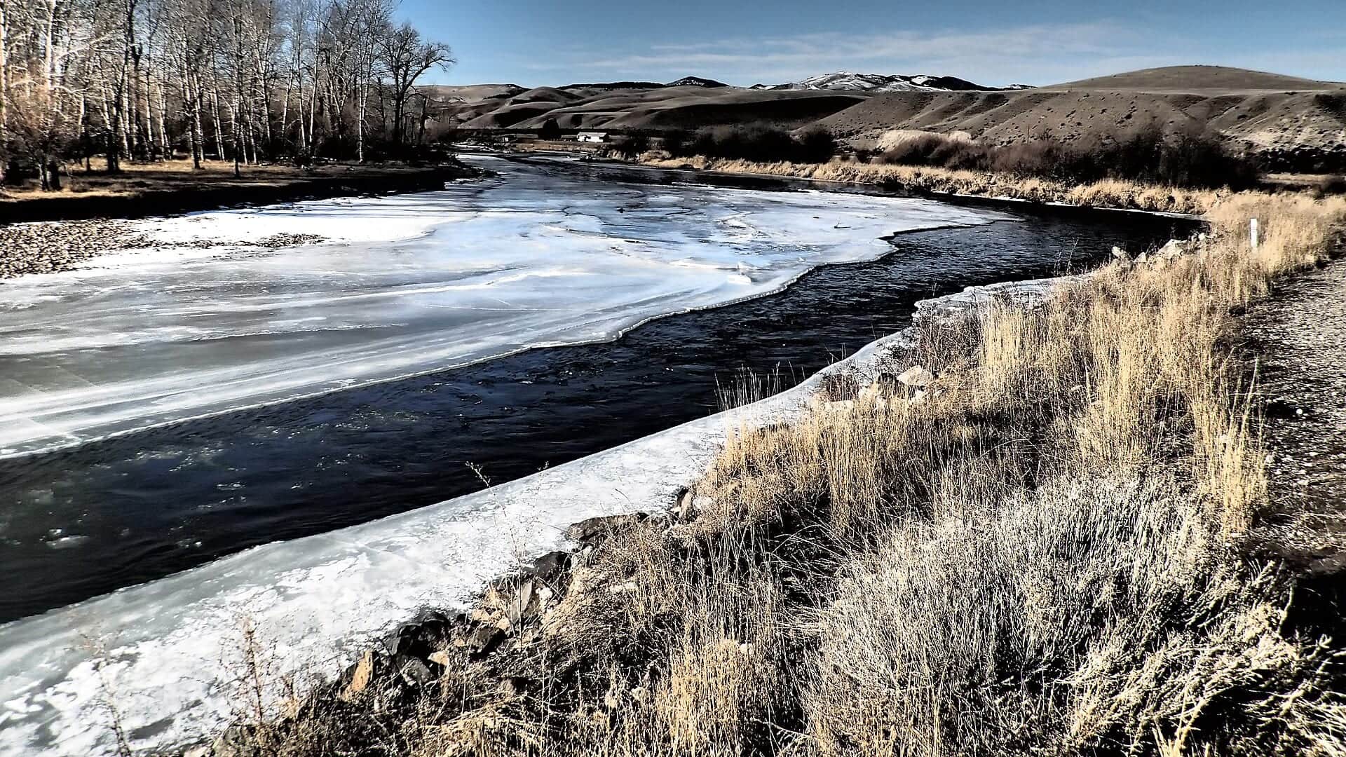
Generated valley-confluence scene representing the Beaverhead River near Twin Bridges, Montana, not an exact location photo
All Montana reports

Fly fishing report · West

Beaverhead River at Twin Bridges

A lower-Beaverhead planning page for anglers deciding whether the Twin Bridges reach still has the clarity, current shape, and public access to justify a float or short wade.

Check flow & weather
Today's river scoreHigh source confidence
Good

Best option: Bank / edge.

Bank and edge fishing remains a practical low-commitment option if access is legal and footing is safe.

Updated Jul 13, 11:17 PM UTCUsually refreshes about every 45 minutes
Recommended approachBank / edge

Mode scores adjust the river-wide score for the risks of wading, bank fishing, or floating.

WadeCheck

This report does not describe this as a primary mode. Verify legal access, depth, launches, and retreat options before planning around it.

Bank / edge · Best fit70/100

Bank and edge fishing remains a practical low-commitment option if access is legal and footing is safe.

Float70/100

A float is in play where this report supports boat access and wind, releases, and shuttle logistics are manageable.

Confirm before you leave

Flow and weather right now.

Use the flow trend to confirm the score before you leave. Weather can change the safest and most productive fishing window.

Loading current flow and weather.

River strategy

Treat Twin Bridges as the lower Beaverhead transition into Jefferson-country, not as a copy of the upper tailwater.

This reach is strongest when flows are stable enough to keep the river defined but not so pushy, warm, or dirty that the lower valley loses structure. It can reward a smart float plan, but it is not the same technical all-day tailwater program found closer to Dillon and the dam.

  • Montana FWP's Beaverhead drainage plan describes the river as an 80-mile system from Clark Canyon Dam to the Jefferson headwaters at Twin Bridges, with stronger irrigation and valley influence as you move downstream.
  • Montana's Beaverhead recreation rules apply from the third Saturday in May through Labor Day and specifically reference the reach down to Jessen Park in Twin Bridges.
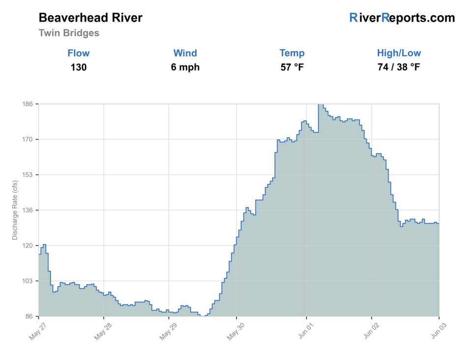
  • Use RiverReports as the quick chart and USGS 06018500 near Twin Bridges as the official flow reference before you commit to a lower-river float.
  • Public access is real but concentrated. Pennington Bridge is a defensible named FWP access site near Twin Bridges, and legal parking and launch discipline matter more here than on the better-known upper reaches.
Why this score moved
FlowUse caution

USGS shows 76 cfs with a stable over about 6 hours trend. same-date USGS history (1936-2025, 81 readings) puts normal around 160 cfs and the lower quartile near 80 cfs; today's flow is below normal for the date. This is below normal, so edge depth, temperature, and pressure matter.

HeatUse caution

The NWS forecast is near 92F. Fish early and verify water temperature where trout stress is possible.

SeasonHelps score

Summer mornings: Viable when nights stay cool and you treat the reach as an early technical window, not an all-day marathon.

Public alertsHelps score

No active NWS alert was returned for this forecast point.

Fishing usefulnessHelps score

Skip or pivot when lower-valley heat, muddy water, wind, or current restrictions strip away trout-safe shape, or when your launch, shuttle, or parking plan is not clearly public.

Read the water

What changes the plan.

The Twin Bridges reach is best when stable lower-river flows, cool nights, and enough clarity leave trout willing to use weed lines, seams, and softer banks. It loses value quickly in hot weather, irrigation color, or when you are forcing a float just because the upper Beaverhead is crowded.

01

Steady moderate lower-river flow

Best for float coverage, weed-edge nymphing, and picking apart obvious current transitions.

02

Low clear summer flow

Shorten the day, fish early, and target the cooler, deeper structure instead of forcing long bright floats.

03

Irrigation color or heavy push

Usually a signal to move upstream or pivot to different water rather than gambling on the lower reach.

04

Hot windy afternoon

A warning that trout-safe conditions and good drifts may both fall apart at the same time.

Field plan

Fish it with intention.

Best flows

Use RiverReports and USGS 06018500 near Twin Bridges together. Stable moderate lower-river flow with decent clarity is the best signal; muddy irrigation water, heavy wind, or hot flat water should move the day.

When to skip

Skip or pivot when lower-valley heat, muddy water, wind, or current restrictions strip away trout-safe shape, or when your launch, shuttle, or parking plan is not clearly public.

Local plan

Start with the Twin Bridges gauge and one named access anchor such as Pennington Bridge. If the river still has color control and defined seams, fish a short float; if not, move upstream or change rivers early.

Backup water

If Twin Bridges is hot, dirty, windy, or too flat, compare Dillon or the upper Beaverhead for more technical trout water, or move to the Big Hole or another cooler option.

Hatches & flies

Bring a flexible box.

TimingWhat to watchUseful flies
01

Start with the Twin Bridges gauge trend, then decide whether the lower river still has enough clarity and depth transitions to justify a float.

02

Fish the best banks, seams, and weed lines thoroughly instead of covering miles of flat-looking lower valley water.

03

Use named public sites and bridge corridors for entry and shuttle discipline rather than assuming every roadside opening is fair game.

04

If the lower river feels warm, flat, and overexposed by late morning, believe that signal and move upstream.

Access & responsibility

Know the entry. Know the exit.

Check Montana's current fishing regulations, Beaverhead recreation restrictions, and any active closure or temperature notices before you fish. The lower Beaverhead can change fast with heat and irrigation demand.

01

Pennington Bridge Fishing Access Site

FWP named access south of Twin Bridges and the clearest public anchor for this lower-reach page.

02

Twin Bridges lower-river corridor

Use clearly legal bridge and public-site entries only where parking and ownership are obvious.

03

Public take-out planning near the Jefferson headwaters

Build the day around known public exits instead of improvising a confluence shuttle.

Transparent sources

Check the facts behind the plan.

Last material review: 2026-05-31

Common questions

Before you leave.

What should I check first on the Beaverhead at Twin Bridges?+

Check RiverReports, USGS 06018500 near Twin Bridges, and current Montana regulations or restrictions before deciding on a float or a short wade.

Is this the same as the upper Beaverhead tailwater?+

No. Twin Bridges is lower-river Beaverhead water with more irrigation, warmer valley influence, and stronger float logic than the tighter upper tailwater.

Where is the clearest public starting point?+

Pennington Bridge Fishing Access Site is the clearest named FWP public-access reference for this reach, but you should still confirm current site status and your shuttle plan before launch.