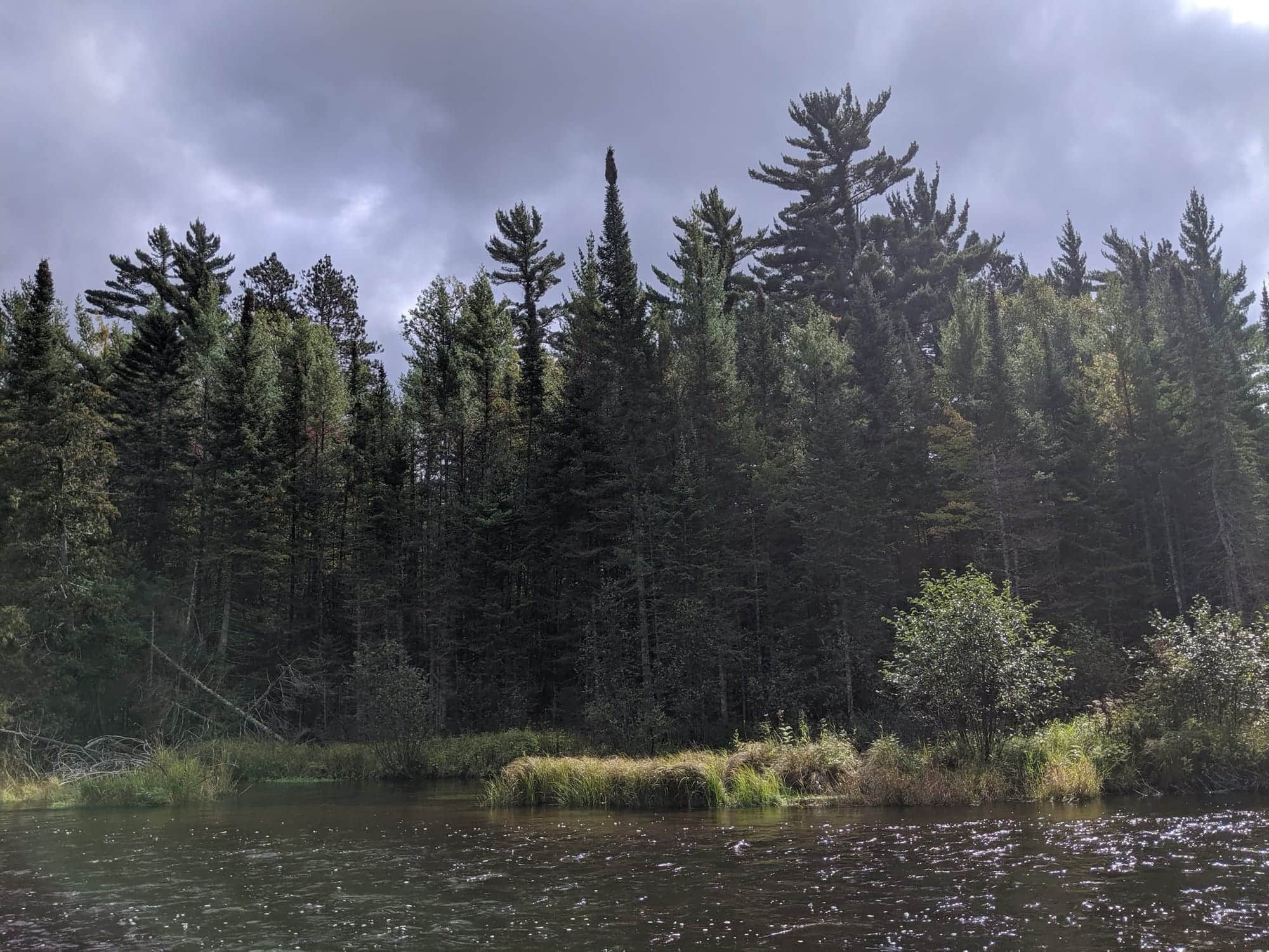
Wading is the most sensitive plan today. Use protected edges only, avoid crossings, and downgrade quickly if clarity or current feels wrong.

Menu
Fly fishing report · Midwest
Au Sable River South Branch
A South Branch report built around the Luzerne gauge, Mason Tract fly water, exact regulation boundaries, and the practical choice between public Chase-to-Smith access and the more private water downstream.
Check flow & weatherBest option: Bank / edge.
Bank and edge fishing is the safer default when water is high, pushy, or not fully verified.
Mode scores adjust the river-wide score for the risks of wading, bank fishing, or floating.
Bank and edge fishing is the safer default when water is high, pushy, or not fully verified.
This report does not describe this as a primary mode. Verify legal access, depth, launches, and retreat options before planning around it.
Confirm before you leave
Flow and weather right now.
Use the flow trend to confirm the score before you leave. Weather can change the safest and most productive fishing window.
River strategy
Use the South Branch gauge and rule boundary—not the mainstem report.
The South Branch is its own fly-fishing decision. Start with USGS 04135700 for discharge and temperature, decide whether you are fishing the public Mason Tract water above Smith Bridge or a legally confirmed downstream access, and read Michigan's exact regulation section before tying on a fly.
- USGS 04135700 near Luzerne is the exact live flow and temperature source for this page.
- Michigan's 2026 rules separate Chase Bridge to Lower High Banks from the water downstream to the mainstem.
- The Chase Bridge-to-Smith Bridge corridor has the clearest public context; banks below Smith Bridge are largely private.
- Warm water, rising flow, fire restrictions, or an active alert can override a favorable fishing score.
USGS shows 218 cfs with a stable over about 6 hours trend. same-date USGS history (1967-2025, 58 readings) puts normal around 128 cfs and the high-water marker near 175 cfs; today's flow is above that high-water marker. Treat this as high-water fishing: wading, clarity, crossings, and boat control need a conservative check.
The forecast has storm or heavy-precipitation risk, so timing and access matter more than the score alone.
This page is using baseline river-specific guidance while deeper local scoring is still being reviewed. Use the live sources and local checks before relying on the rating.
Bank / edge: Bank and edge fishing is the safer default when water is high, pushy, or not fully verified.
Early summer: Brown drake and later Hex context can matter; confirm actual insects and water temperature.
Read the water
What changes the plan.
Stable discharge, trout-safe temperature, and a clearly legal Mason Tract entry create the best dry-fly, soft-hackle, and streamer plan. Warm water or unclear downstream bank access should shorten the session or move it to another reach.
Stable and cool
Fish dries, soft hackles, and light nymph rigs through bends, riffles, and wood edges.
Rising or stained
Work safe near-bank cover with streamers; do not force crossings through unfamiliar deep water.
Low clear water
Use a quiet approach, long leaders, and low-light windows.
Warm water
Use the live temperature feed and stop targeting trout when safe release is doubtful.
Field plan
Fish it with intention.
Favor a stable discharge with trout-safe temperature and visible edges at the access. The exact number matters less than trend, depth, and safe crossings.
Skip or change targets for warm water, rising flow, lightning, fire restriction, uncertain bank access, or an unclear rule boundary.
Start inside the public Mason Tract corridor, check flow and temperature, and choose one bridge-bounded section before the evening hatch window.
Use the main branch, Rifle, or Upper Manistee only after checking each destination's own temperature and rule status.
Hatches & flies
Bring a flexible box.
Reviewed family · report says “BWO emerger”Blue-Winged Olive PatternsBWO describes a hatch group, not one fly. Nymph, emerger, dry, cripple, and spinner profiles must stay separate because they occupy different parts of the water column.See family guide ↗
Reviewed pattern · report says “pheasant tail”Pheasant Tail NymphThe pilot page distinguishes the sparse original idea from the bulkier American form. Both use pheasant-tail fibers and copper wire, but bead heads, peacock-herl thoraxes, legs, flashbacks, jig hooks, and soft-hackle collars are variations that must be labeled.See photos & how to fish it ↗+ 2 more reviewed guides in the Fly Box
Reviewed family · report says “Sulphur”Sulphur Mayfly PatternsSulphur is hatch wording. Nymphs, emergers, Comparaduns, parachutes, traditional dries, soft hackles, and spinners have different silhouettes and depths.See family guide ↗
Reviewed family · report says “spinner”Mayfly Patterns by StageMayfly nymphs, emergers, upright-wing duns, cripples, soft hackles, and flat-wing spinners occupy different depths and require different profiles.See family guide ↗+ 1 more reviewed guide in the Fly Box
Reviewed family · report says “Ant”Ant PatternsAnt patterns can be foam, fur-bodied, winged, or sunken. The narrow waist and paired body lobes matter more than one material recipe.See family guide ↗
Reviewed family · report says “beetle”Beetle PatternsBeetle flies range from simple foam shells to hair-bodied and sunken forms. A rounded back and compact profile distinguish the family from ants and hoppers.See family guide ↗+ 3 more reviewed guides in the Fly Box Use the exact South Branch flow and temperature rather than mainstem Au Sable conditions.
Scout the exit and deepest bends in daylight before an evening spinner or drake session.
Fish soft hackles across riffle tails when insects are active but trout are not fully rising.
Use streamers tight to wood and undercut banks in low light or modest stain.
Below Smith Bridge, fish only where you have separately confirmed legal public access or permission.
Access & responsibility
Know the entry. Know the exit.
Michigan's 2026 regulations identify artificial-flies-only rules and different possession provisions by South Branch reach. The current regulation PDF, trout map, posted signs, and emergency orders are the legal authority; verify Chase Bridge, Lower High Banks, Smith Bridge, and mainstem boundaries before fishing.
Chase Bridge and upper Mason Tract
A named orientation point for the public corridor and the start of a distinct 2026 regulation section.
Mason Tract between Chase and Smith bridges
The clearest official public-water context for a walk-and-wade South Branch plan.
Smith Bridge boundary
Below Smith Bridge, much of the bank is private; do not continue downstream without confirmed legal access.
Recent reach reports
What anglers are seeing.
Moderated, river-level updates for Au Sable River South Branch. Exact spots, private access notes, and private media never appear here.
Be the first to share a generalized river update through the moderated BSF app flow.
Transparent sources
Check the facts behind the plan.
Editorial guidance reviewed . This date applies to access, hatches, tactics, and source notes—not today's conditions.
Active maintenance check: . BlueStreamFly checks report sources, links, live fishability inputs, and page rendering on a recurring maintenance schedule. This check does not change the material review date unless public guidance or sources changed.
Common questions
Before you leave.
What water does this South Branch Au Sable report cover?+
The South Branch through the Mason Tract from Chase Bridge toward Smith Bridge and the mainstem, with access differences below Smith Bridge made explicit.
What should I check first before fishing South Branch Au Sable?+
Check USGS 04135700 discharge and temperature, the 2026 Michigan regulation section, trout maps, NWS alerts, and fire notices.
Is access straightforward on South Branch Au Sable?+
The Mason Tract has a strong public corridor, but the banks below Smith Bridge are largely private and require separate confirmation.
Does the fishability score replace local judgment?+
No. Use it as a starting decision, then confirm the source timestamp, official rules, alerts, water temperature, visibility, and conditions at the access you actually plan to use.
