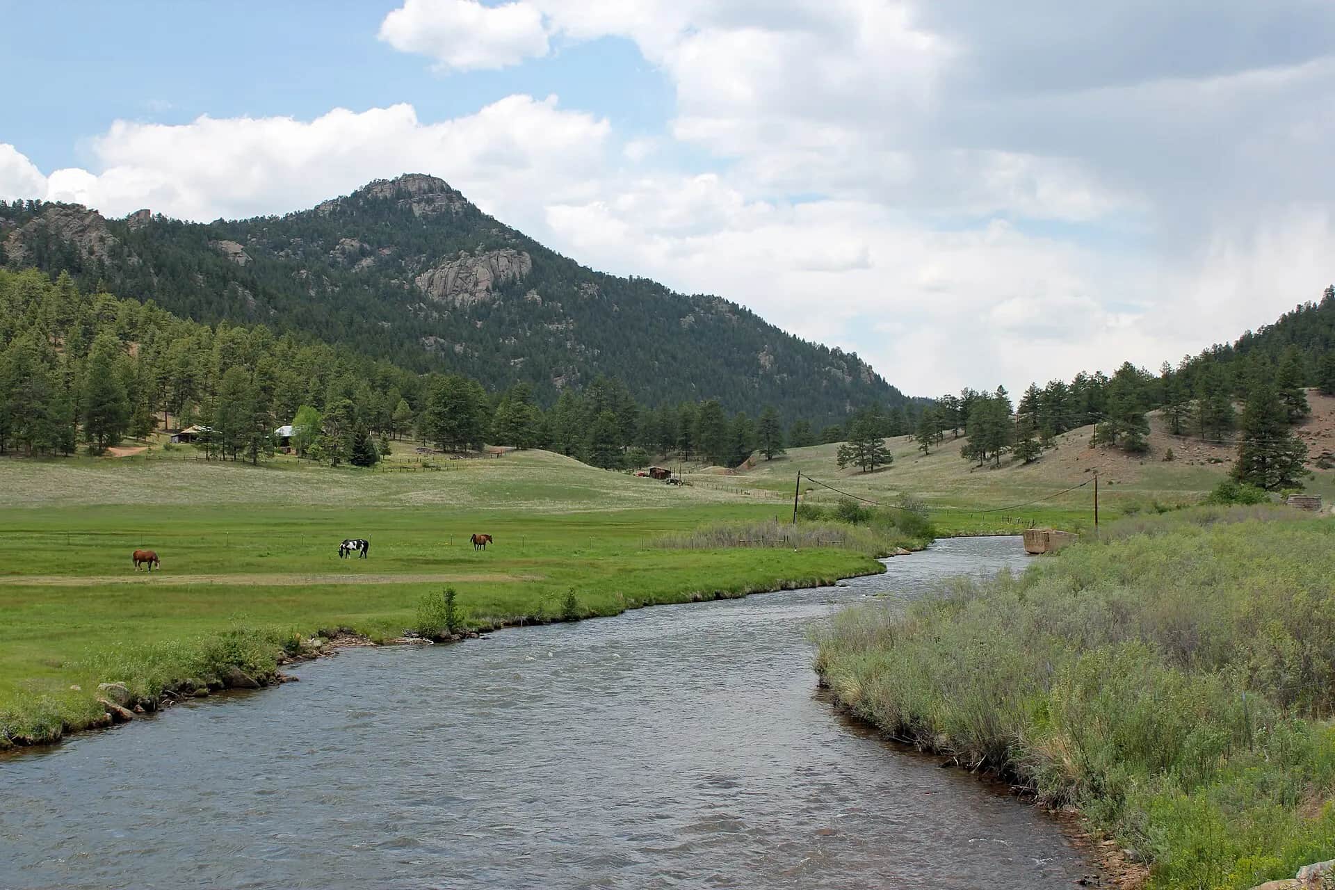
Generated Front Range river-and-cottonwood scene representing the South Platte below Chatfield, not an exact location photo
All Colorado reports

Fly fishing report · West

South Platte Below Chatfield

A Chatfield-area South Platte planning page built around the river below the reservoir, state-park access, real-time flow checks, and honest expectations for an urban-edge trout and mixed-species day.

Check flow & weather
Today's river scoreMedium source confidence
Limited data

Verify conditions before committing.

No live gauge is verified here. Use weather, recent rain, local reports, and conservative judgment before committing.

Updated Jul 22, 11:38 PM UTCLive sources checked regularly
Planning fallbackVerify locally

Mode guidance is provisional because current water conditions are not fully verified.

WadeCheck

Wading is the most sensitive plan today. Use protected edges only, avoid crossings, and downgrade quickly if clarity or current feels wrong.

Bank / edgeCheck

Bank and edge fishing is the safer default when water is high, pushy, or not fully verified.

FloatCheck

A float can fit better than wading only if launches, shuttle, boat skill, wind, and local rules all check out.

Confirm before you leave

Flow and weather right now.

Use the flow trend to confirm the score before you leave. Weather can change the safest and most productive fishing window.

Loading current flow and weather.

River strategy

Below Chatfield is a convenient Front Range option when releases and crowds line up.

The South Platte below Chatfield works best when you treat it as a release-controlled metro river, not as a mountain tailwater copy. It can offer a useful day close to Denver when flows are stable, Chatfield access is open, and you target the cleaner riffle-and-bank structure instead of expecting every mile to fish like Deckers.

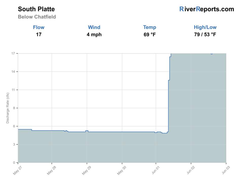
  • Flow note: this page does not have a readable live CFS feed for the exact reach, so the fishability answer stays conservative until you check the linked source manually.
  • Use RiverReports first, then verify the day with USGS 06709610 below Chatfield Lake before you commit to wading or to a longer park walk.
  • Chatfield State Park sits at the mouth of Waterton Canyon where the South Platte leaves the foothills and reaches the prairie, so the river here fishes more like an urban-edge corridor than a remote trout destination.
  • Colorado's special regulations for Chatfield State Park include South Platte water inside the park boundary and add several park-specific restrictions around the dam and off-leash-area ponds.
  • If releases rise or the bike-and-foot traffic feels too heavy, this reach is better as a short opportunistic session than as a forced all-day plan.
Why this score moved
FlowNot verified

No verified live public gauge is attached, so the page cannot make a strong real-time call.

HeatUse caution

The NWS forecast is near 90F. Fish early and verify water temperature where trout stress is possible.

Short-term weatherUse caution

The forecast has storm or heavy-precipitation risk, so timing and access matter more than the score alone.

Public alertUse caution

An Air Quality Alert is active near this forecast point, so the score is capped at caution until smoke and access conditions are checked. NWS alert: Air Quality Alert issued July 22 at 4:10PM MDT by NWS Denver CO.

SeasonHelps score

Summer: Best early or after work on cooler days when flows and temperatures still favor trout handling.

Read the water

What changes the plan.

The below-Chatfield reach usually makes the most sense in cooler months, on mild summer mornings, and anytime you want a short Denver-area river check without driving to the classic South Platte canyons. Heat, muddy runoff pulses, or crowded fair-weather weekends can flatten its value quickly.

01

Stable moderate release

Best for short wades, seam nymphing, and reading the cleaner pocket water along park banks.

02

Low clear water

Fish light tippet, small flies, and lower-profile approaches because the river can get very transparent close to the city.

03

Higher reservoir release

Shrink the plan to bank water only and skip the day if safe footing disappears.

04

Hot summer afternoons

Start early and be willing to leave when the river starts fishing more like a warm corridor than a cold trout run.

Field plan

Fish it with intention.

Best flows

Stable moderate releases that leave bank edges and riffle tails readable without forcing risky wading.

When to skip

Skip when reservoir releases jump, when summer heat pushes the river toward warmwater conditions, or when park traffic makes stealth impossible.

Local plan

Check the graph before leaving town, fish one good corridor section early, and keep Waterton or a higher South Platte backup ready if the lower river feels off.

Backup water

Waterton Canyon, the Deckers South Platte, or the North Fork are better pivots when below-Chatfield runs too warm, crowded, or release-heavy.

Hatches & flies

Bring a flexible box.

TimingWhat to watchUseful flies
01

Treat the USGS and RiverReports trend as mandatory because reservoir-driven changes matter more here than on a simple freestone river.

02

Fish the cleaner current tongues, outside-bank shelves, and riffle tails instead of trying to cover every trail-visible run.

03

Time the day around lower park traffic when possible because this is shared-use water close to Denver.

04

If the river feels too warm, muddy, or crowded, turn it into a short scouting stop and move to a higher-elevation South Platte page.

Access & responsibility

Know the entry. Know the exit.

Within Chatfield State Park, Colorado's special regulations cover the South Platte River and all ponds inside the park boundary. Review the current special-regulations page before fishing, especially the dam closure zone and park-specific species limits.

01

Chatfield State Park river corridor

The main public access backbone where the South Platte exits the foothills at the mouth of Waterton Canyon.

02

South Platte trail sections inside the park

Useful for quick bank-to-bank scouting on foot before you settle into one fishable stretch.

03

Littleton downstream continuation

A better secondary plan once you decide whether the state-park stretch is too busy or too release-driven.

Recent reach reports

What anglers are seeing.

Moderated, river-level updates for South Platte Below Chatfield. Exact spots, private access notes, and private media never appear here.

No verified reach reports yet.

Be the first to share a generalized river update through the moderated BSF app flow.

Transparent sources

Check the facts behind the plan.

Last material review: 2026-07-06

Active maintenance check: Jul 14, 2026. BlueStreamFly checks report sources, links, live fishability inputs, and page rendering on a recurring maintenance schedule. This check does not change the material review date unless public guidance or sources changed.

Common questions

Before you leave.

Is this the same river as Waterton Canyon?+

It is the same river system, but this page is for the South Platte below Chatfield Reservoir and the Chatfield State Park corridor, not the walk-in Waterton reach upstream.

What flow should I trust first?+

Not for an automated live score. This page links the best available flow source where one exists, but the fishability answer stays conservative until a current readable gauge is available for the exact reach. Check the linked source, weather, clarity, access, and recent rain before going.

When should I skip the trout plan?+

Skip when releases get pushy, when summer warmth takes over, or when a crowded fair-weather park day makes stealth and mobility too difficult.