Live flow is not available
No machine-readable live streamflow feed is attached for this reach. Use the linked flow source manually with weather, clarity, access, and recent rain before committing.
We could not confirm a live gauge for this river. Check the weather, recent rain, local reports, and the water before you fish.
Check first: Live information is incomplete. Treat this score as a planning estimate.
Rating updatedRiver local time:
No verified live public gauge is attached, so the page cannot make a strong real-time call.
NWS air forecast near
This is an air forecast, not a river-temperature reading. Check the water with a stream thermometer before fishing in hot weather.
No machine-readable live streamflow feed is attached for this reach. Use the linked flow source manually with weather, clarity, access, and recent rain before committing.
Sunny
The National Weather Service forecast is temporarily unavailable.
Official flow source: North Fork Stanislaus River near Avery
No machine-readable live streamflow feed is attached for this reach. Use the linked flow source manually with weather, clarity, access, and recent rain before committing.
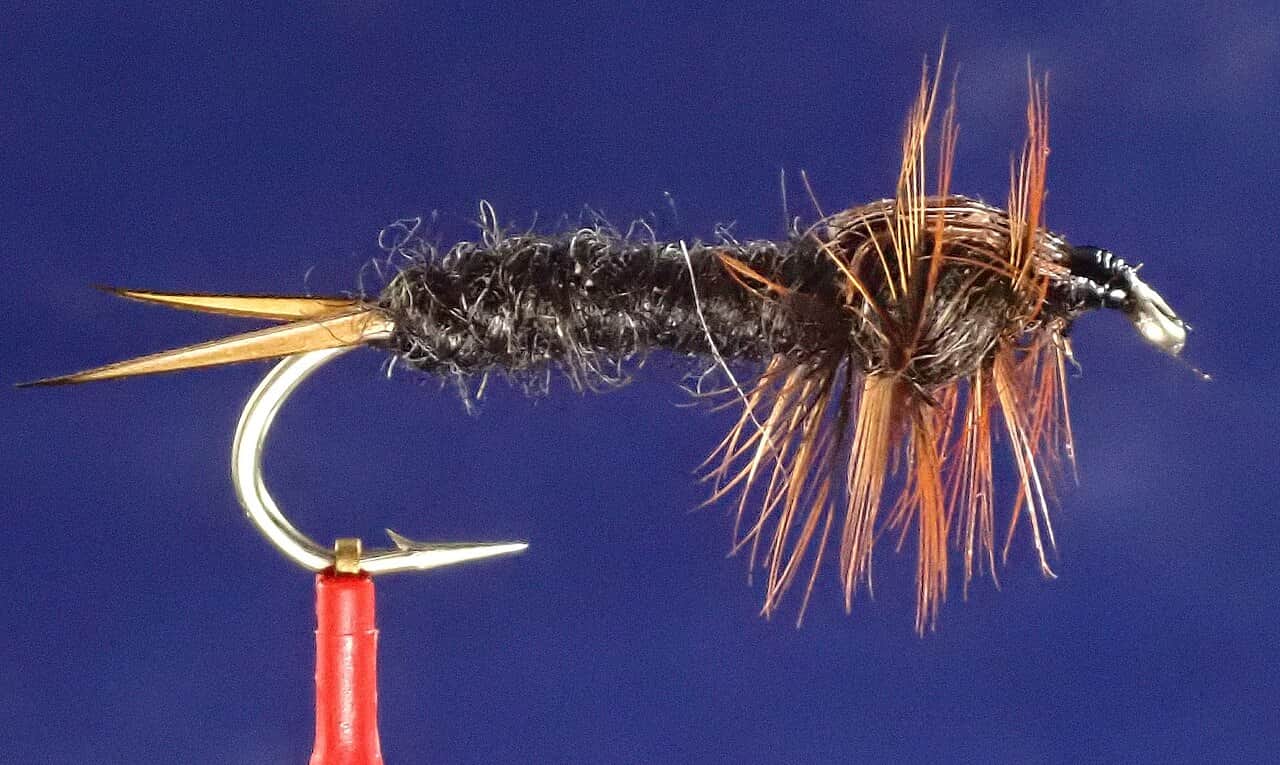
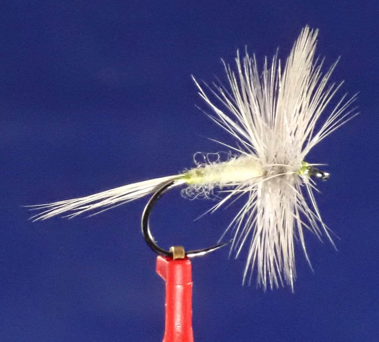
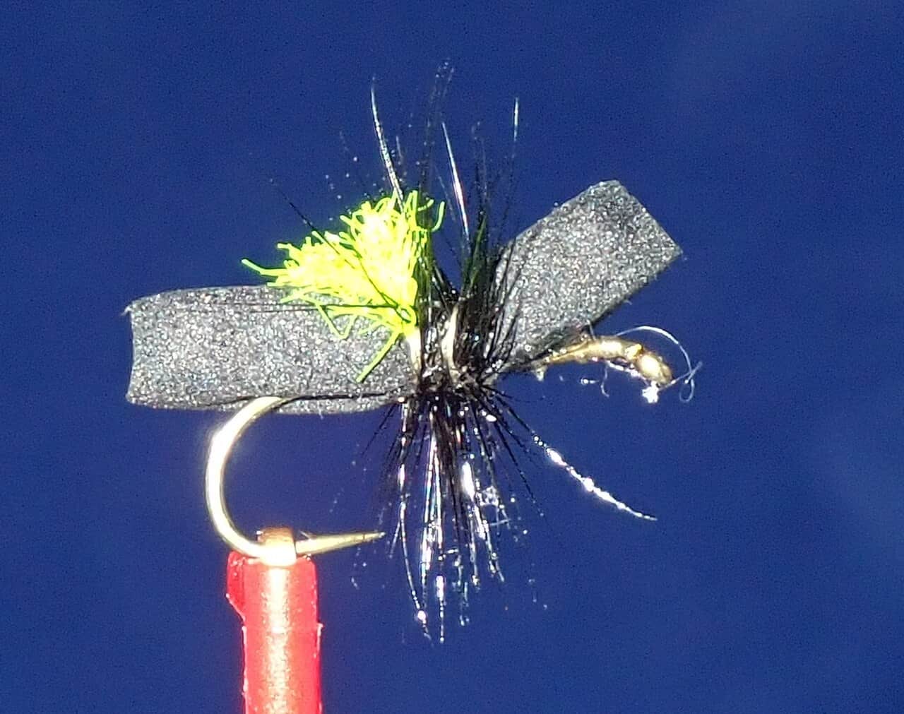
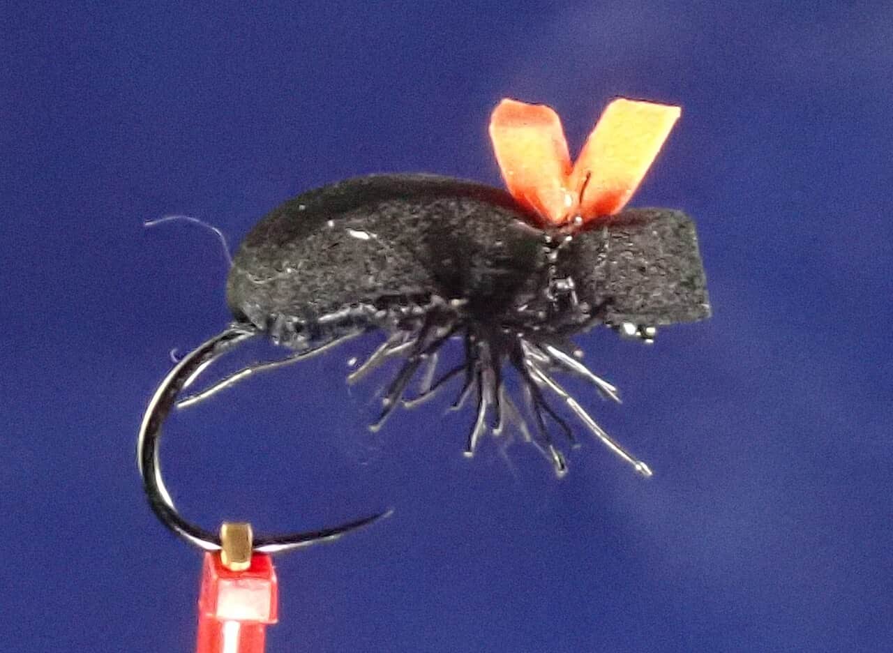
Seasonal starting points, not a live hatch report. Match what you see on the water.
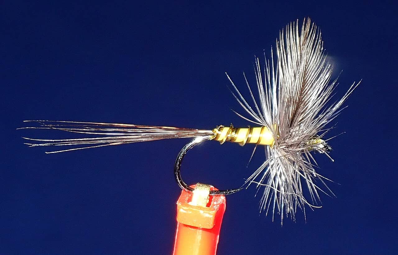
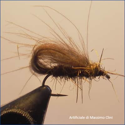
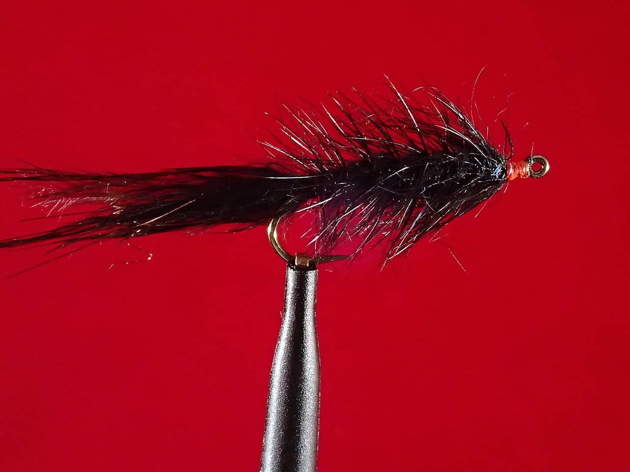
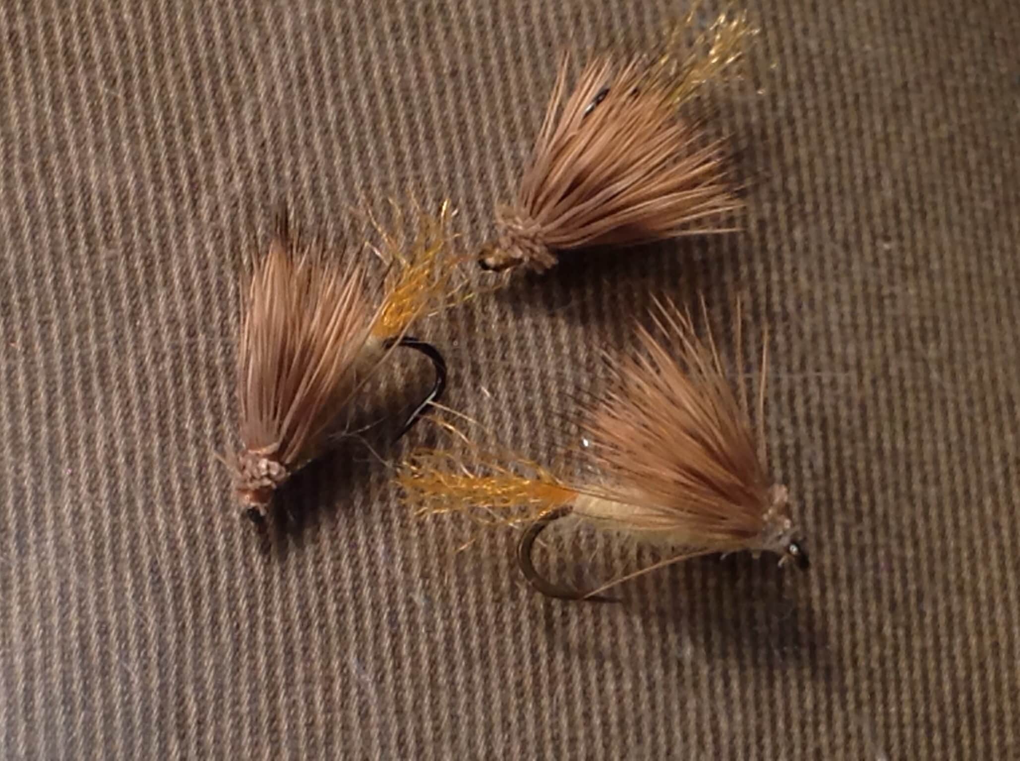
Each fly name opens its matching Fly Box guide.
Best windows come with stable flow, good clarity, and cool water. Skip North Fork Stanislaus River near Avery when the gauge is rising sharply, access roads are storm-damaged, or the only way to fish requires unsafe canyon wading.
Best for dry-dropper fishing and careful pocket-water wading.
Treat as whitewater, not wading water.
Use smaller flies and stealth. Fish early before canyon heat.
Check forest and highway conditions before driving.
We could not confirm all current conditions. Check locally before choosing how to fish.
Current conditions at the exact access are not verified. No access method is recommended until they are checked.
Current conditions at the exact access are not verified. No access method is recommended until they are checked.
Current conditions at the exact access are not verified. No access method is recommended until they are checked.
Is North Fork Stanislaus River near Avery worth the trip today? Check flow, weather, hatches, access, and rules for California before you go.
North Fork Stanislaus River near Avery fishes best when flows are stable, water is cool, and the access plan fits the canyon. Use the live gauge before committing to a wade, then keep the fly plan simple: dry-dropper, short-line nymphing, and small streamers around structure.
No verified live public gauge is attached, so the page cannot make a strong real-time call.
Fall: Cooler nights, lower crowds, and stable flows often make this the cleanest freestone trout window.
The current NWS air forecast is about 67F, and the next 24-hour high reaches about 81F. Sunny.
No active NWS alert was returned for this forecast point.
Skip during sharp rises, hot low water, unsafe crossings, or road/access uncertainty.
Stable, clear, cool water with safe crossings and enough depth to hold trout in pockets.
Skip during sharp rises, hot low water, unsafe crossings, or road/access uncertainty.
Avery, Arnold, or Dorrington is the practical base. Check riverreports flow, usgs avery context, cdfw trout rules, stanislaus nf notices, and road/weather, then pick a short legal access plan instead of trying to cover the whole river.
Check nearby BlueStreamFly reports if the gauge, rules, or weather do not fit the plan.
Use these places as starting points. Open the access link below and check posted signs before you park or enter.
Check current CDFW inland trout rules, local closures, and posted land-management rules before fishing. Rules can vary by reach and season.
Whitewater and forest-access context. Check current road and river conditions.
Useful downstream context with separate park/forest rules.
Use legal parking only and avoid unsafe road shoulders.
Official agencies and primary river operators come first. Secondary tools are labeled so you know what carries the most weight.
Check what is allowed, where the rule applies, and whether the river is open.
Check the latest river reading and forecast before you leave.
Check public entry points, land rules, and seasonal access changes.
Use these links for stocking, safety, and other local details.
Check what is allowed, where the rule applies, and whether the river is open.
Open the current rules and check the river section, season, and special limits.
Check the latest river reading and forecast before you leave.
Open this page and check the latest safety advice before your trip.
Open this river reading to check the latest level, flow, and update time.
Open this river reading to check the latest level, flow, and update time.
Check public entry points, land rules, and seasonal access changes.
Open the land or access page, then check signs before you park or enter.
Open the land or access page, then check signs before you park or enter.
Use these links for stocking, safety, and other local details.
Open this page for more river information and check when it was last updated.
What was checked: This report uses official regulation, flow, weather, access, and public-source material first, then adds practical angler planning guidance without replacing current rules.
Live measurements and forecasts keep their provider timestamps. Rules, access, and trip guidance use the source-review date shown here. BlueStreamFly planning advice is editorial interpretation, not an agency notice.
First-hand experience: BlueStreamFly does not claim a first-hand visit or local field test for this report unless a real contributor is explicitly named and linked.
Check current CDFW trout rules and local land-management notices first. The page gives planning context, but legal status comes from current rules.
Most anglers should think wade-and-move or short access sessions unless they have whitewater and local access skill.
Not for an automated live score. This page links the best available flow source where one exists, but the fishability answer stays conservative until a current readable gauge is available for the exact reach. Check the linked source, weather, clarity, access, and recent rain before going.